Recreation area · Corduente, Ventosa
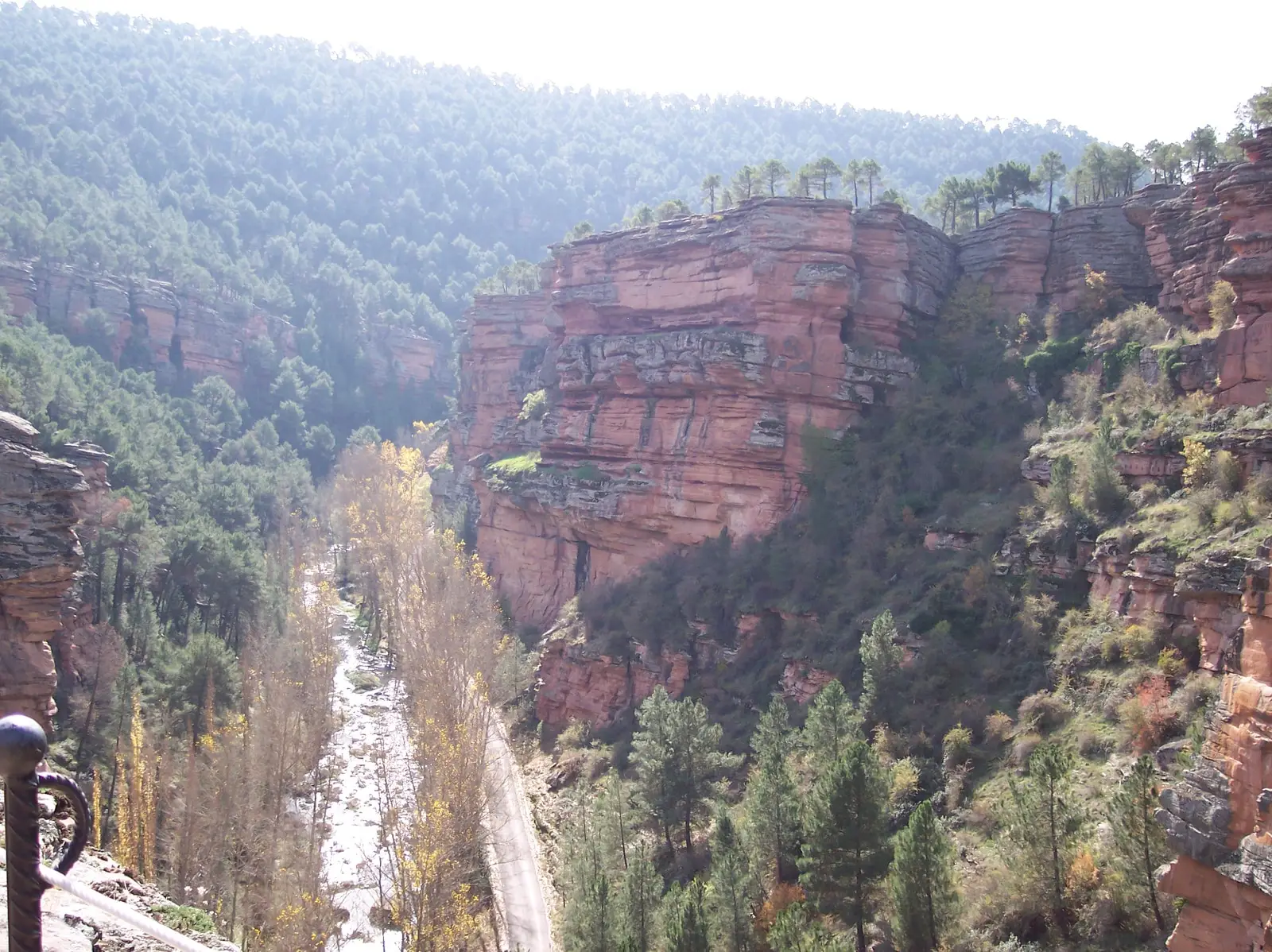
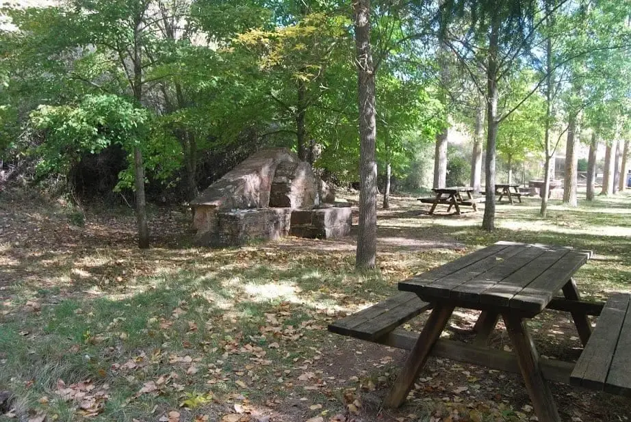
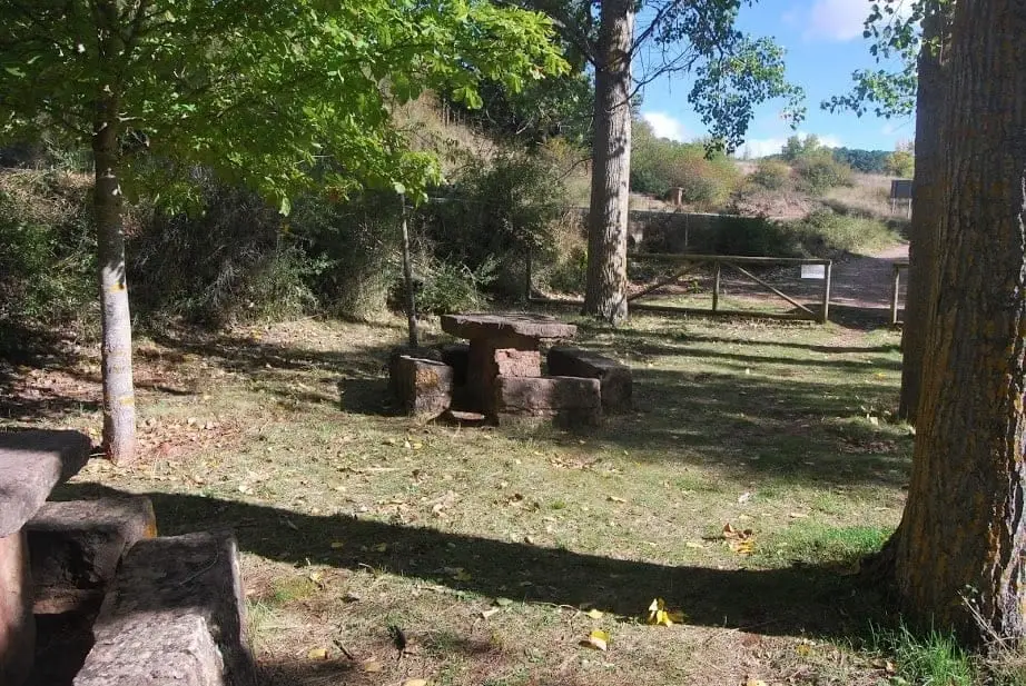
Barranco de la Hoz recreation area
Barranco de la Hoz recreation area lies on the banks of the Gallo River, with straightforward access from the adjacent road. Leaving Corduente towards Ventosa on the GU-958 towards the canyon, pass the Forest Ranger monument to reach the area.
- Municipality
- Corduente
- Province
- Guadalajara
- Altitude
- 1,064 m
- Gallo River
- Forest Ranger monument
- Easy access
Situated in the heart of Barranco de la Hoz, close to the sanctuary.
Good conduct
The Natural Park provides no rubbish collection service: carry all waste back to village bins. Lighting fires is permitted solely in authorised facilities and outside high-risk fire seasons; check current regulations.
Photo: El Observario
Location
● Reference point · ● Villages · ● Places
Location diagram. Detailed map with tracks and names loads on zoom.
Reference villages: Ventosa · Corduente · Valhermoso · Torete.
Open the full map and historical layers →More recreation and picnic areas nearby
View all →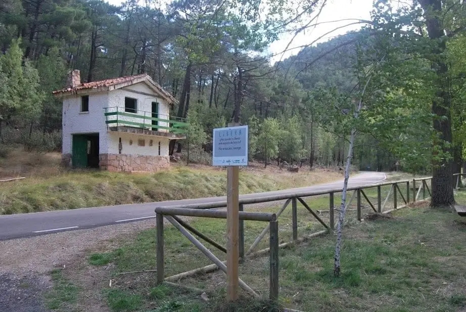
Nearby routes
All routes →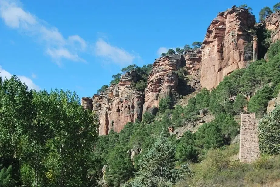
Geotrail 5: from Barranco de la Hoz to Cuevas Labradas
15 km · 4 h · Linear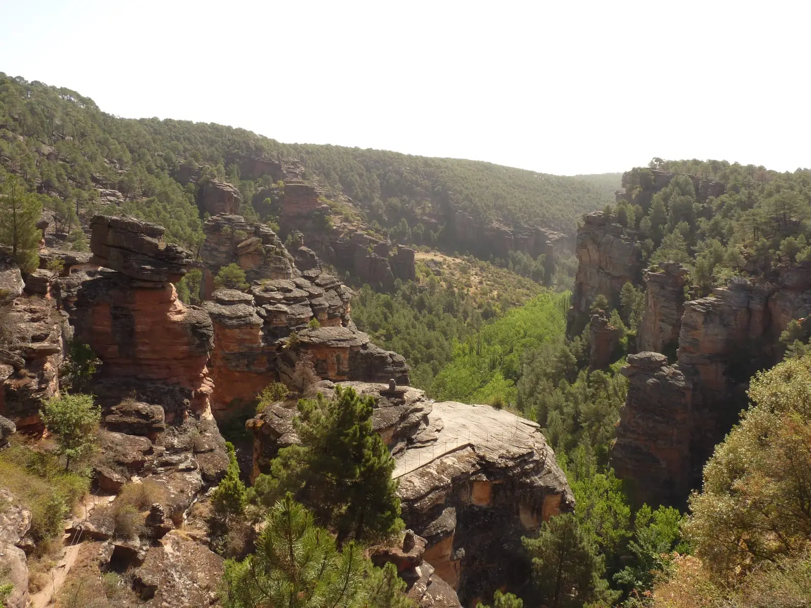
MTB route 5: Barranco de la Virgen de la Hoz (Gallo, Tagus, and Arandilla)
37 km · 8 h · Circular