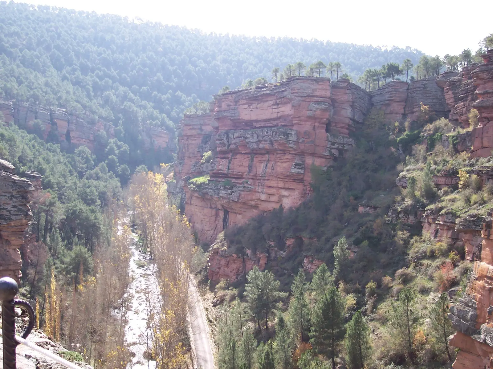
Castle · Corduente
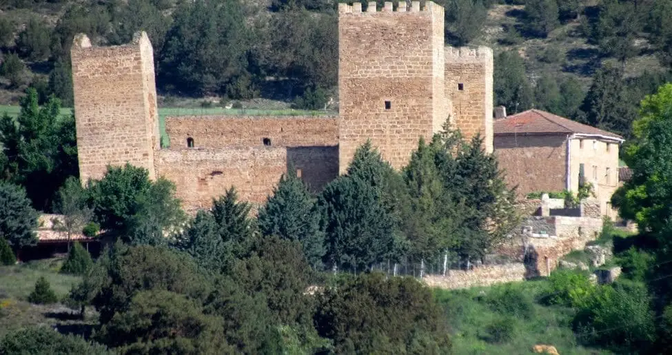
Castle of Santiuste (Corduente): the 15th-century fortified house
The castle of Santiuste, located about one kilometre from Corduente at the entrance to Barranco de la Hoz, is a 15th-century fortified house. Granted by royal privilege of John II in 1434 to Juan Ruiz de Molina, it features thick ashlar walls, corner towers, and an interior courtyard. It is private property and visible from outside.
This place across time
Which eras you can read here
A single place can preserve traces from different eras. These layers connect what you see with the stories in the atlas.
- Municipality
- Corduente
- Province
- Guadalajara
- Altitude
- 1,075 m
- 1434
- Fortified house
- Corner towers
- Entrance to Barranco de la Hoz
A royal privilege
In 1434, King John II of Castile granted Juan Ruiz de Molina the royal licence to construct this stronghold. Its geographic location was strategic: it guards the entrance to the canyon of Barranco de la Hoz.
Castle on the outside, manor on the inside
Although its external aspect is that of a medieval castle, technically it is a fortified manor house (casa fuerte): a nobleman’s residence of tall stone walls flanked by corner towers, organized around an inner courtyard that evokes the late Middle Ages. It formerly possessed an outer walled perimeter that has since disappeared. It sits within easy reach of Corduente.
Location
● Reference point · ● Villages · ● Places
Location diagram. Detailed map with tracks and names loads on zoom.
Reference villages: Corduente · Ventosa · Rillo de Gallo · Valhermoso.
Open the full map and historical layers →Nearby routes
All routes →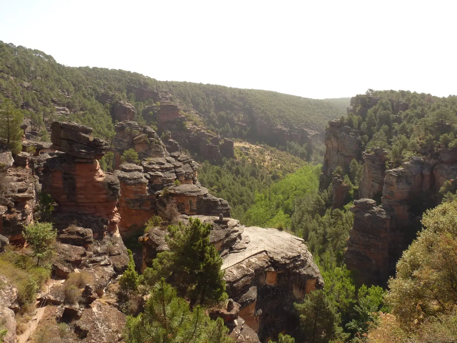
MTB route 5: Barranco de la Virgen de la Hoz (Gallo, Tagus, and Arandilla)
37 km · 8 h · Circular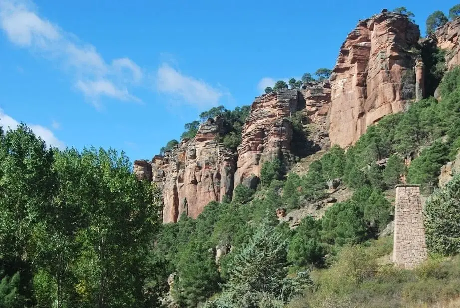
Geotrail 5: from Barranco de la Hoz to Cuevas Labradas
15 km · 4 h · Linear