Living landscape · territorial memory
The parameras: water, limestone and horizon
Zaorejas at 1,270 metres above a Tagus river flowing at 860 m: the open highlands of Molina and Alto Tajo, between transhumance trails, sinkholes, and quiet houses.
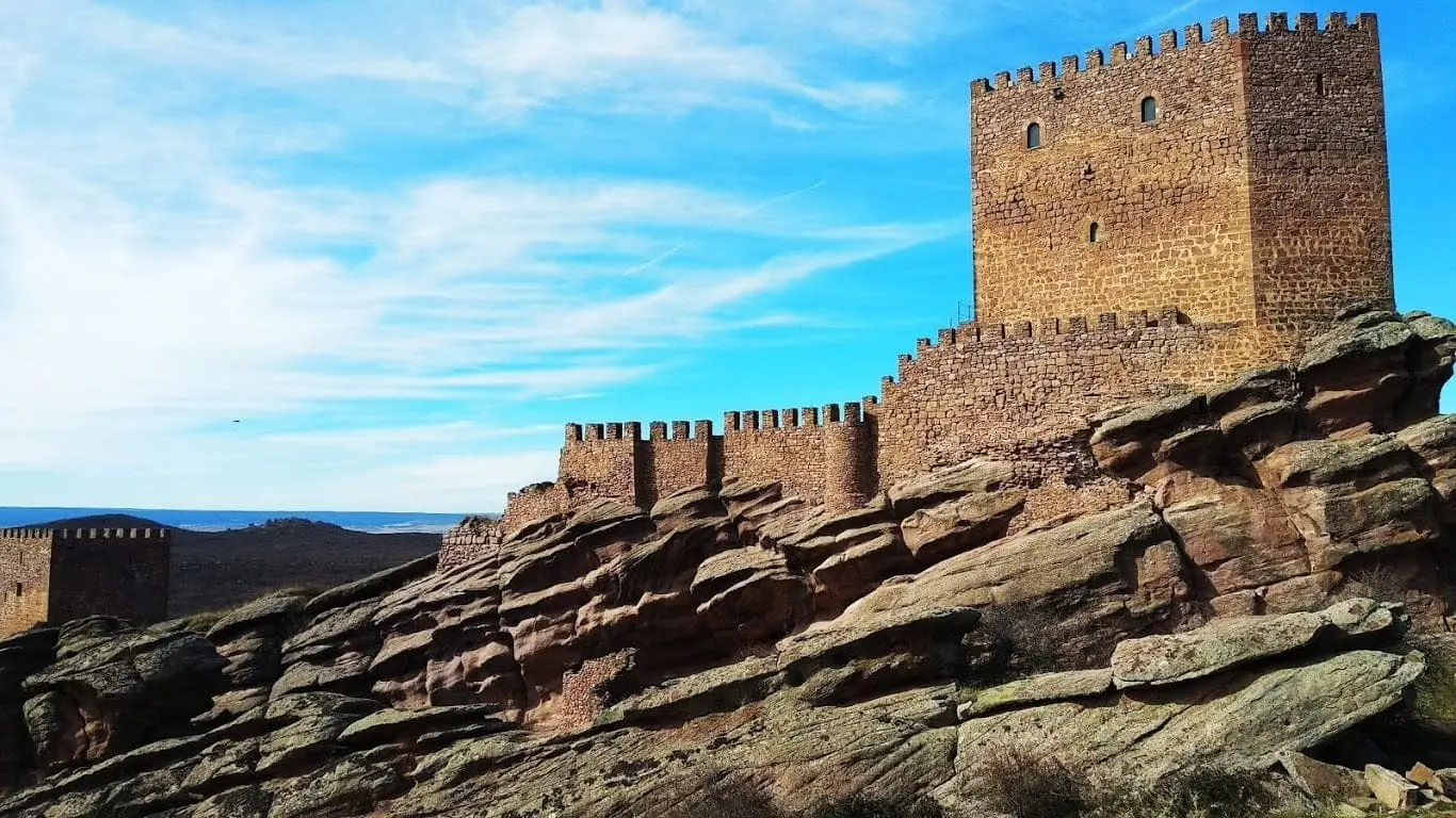
Zaorejas perches at the edge of an extensive limestone paramera plateau at an average elevation of 1,270 metres, which drops precipitously toward the Tagus canyon floor at 860 metres. The Fuentelengua ravine isolates the village from springs emerging along its western flank.
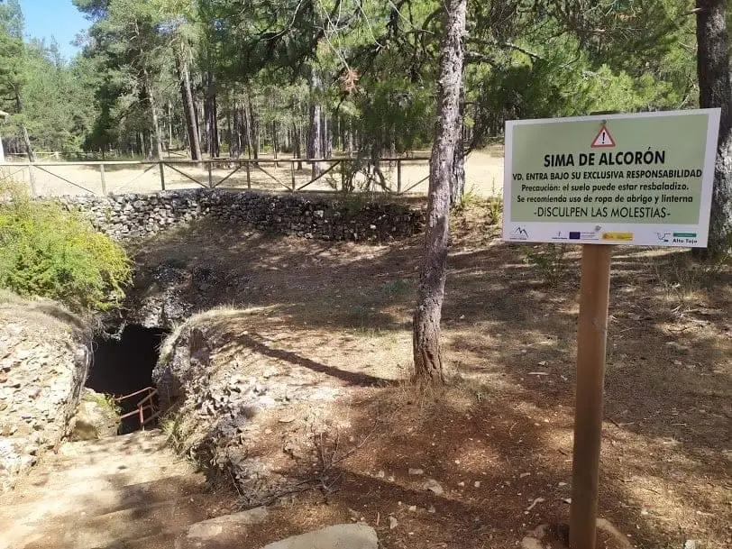
Other parameras include those of Maranchón, Aragoncillo, Sierra Molina, and the high limestone plains of Villanueva de Alcorón, Armallones, and Peñalén. At Villanueva de Alcorón the Sima de Alcorón plunges 63 metres vertically into the karst. Some parameras are open steppes; others preserve ancient juniper and oak groves.
Across these tablelands passed huge flocks each autumn heading south toward Andalusia. Later came rural depopulation: in 1950 Peralveche held 430 residents; today the Alto Tajo Association counts 669 across ten municipalities.
Stories to read this part of the landscape
Roman period – 20th century
Crossing the high plateau
Flocks traveled south along wide livestock drovers' roads. Molina hosted medieval sheep fairs, and in the 15th century the region supported over half a million animals.
Follow the trails of memory →Memories of the 20th century
Stone and wood for everyday items
Limestone, Scots pine, and elderberry wood supplied materials for daily life: grain baskets, animal troughs, beehives, and children's toys.
Read the memory of materials →21st century
Homes that changed their rhythm
Villages on the parameras have an abundance of stone houses yet a shortage of housing: most are family holiday retreats opened only a few weeks each summer.
Read the memory of the houses →Villages to follow the thread from
Every name opens its locations and memories, leading to other readings of the territory.
Traces on the ground
These places connect stories with what endures. Their guides allow you to locate them on the map and explore them in person.