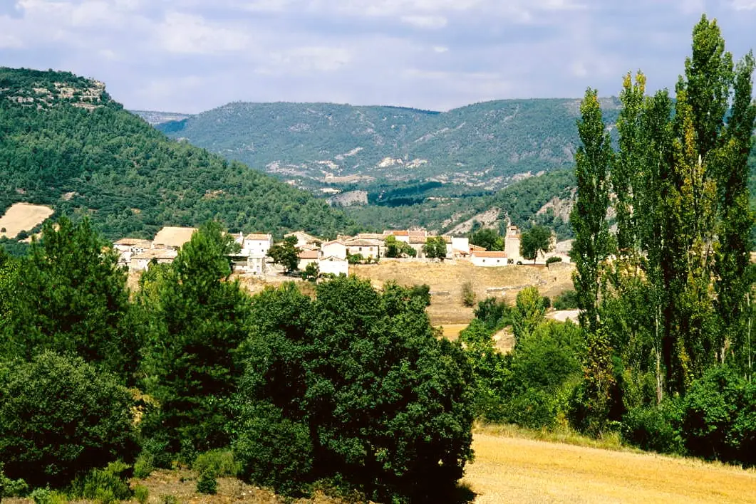
Canyon · Oter
Barranco de la Hoz de Oter and the El Barrancazo gorge
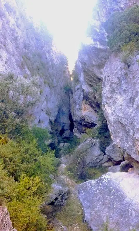
Barranco de la Hoz de Oter is the canyon carved by the Arroyo de la Dehesa from Oter down to the Tagus. Its most famous section is a narrow defile known as El Barrancazo or Estrecho del Orao, where at its narrowest point you can touch both walls simultaneously.
- Municipality
- Oter
- Province
- Guadalajara
- El Barrancazo gorge
- Touching both walls
- Arroyo de la Dehesa
A canyon with a surname
Across these lands there are at least half a dozen “barrancos de la hoz”, so each bears its clarifying surname. This is the gorge of Oter, carved by the Arroyo de la Dehesa from the village down to its confluence with the Tagus.
El Barrancazo
Its most remarkable passage bears several local names: El Barrancazo, Estrecho del Orao, Lorao, or Lorado. At its narrowest point you can touch both rock walls simultaneously with your outstretched hands, passing beneath a massive fallen boulder wedged tightly between the cliffs. Located in Oter.
Location
● Reference point · ● Villages · ● Places
Location diagram. Detailed map with tracks and names loads on zoom.
Approximate position: village centre.
Reference villages: Oter · Carrascosa de Tajo · Ocentejo · Valtablado del Río.
Open the full map and historical layers →More canyons and gorges nearby
View all →
Nearby routes
All routes →
Trail 1 · Geotrail 1: from Ocentejo to Hundido de Armallones
3 km · 1.5 h · Linear
Trail 2: Senda del Castillo of Valtablado del Río
8.9 km · 5 h · Circular