Village · Guadalajara · 848 m
Carrascosa de Tajo
Carrascosa de Tajo is a hamlet of Cifuentes in the Alcarria, on the banks of the Tagus. The present settlement emerged in the 12th century as Carrascosa de Óvila: in 1216 Alfonso VIII granted it to the nearby monastery of Santa María de Óvila. It was a municipality until 1972 and preserves numerous hillslope cellars dating back 200 to 400 years.
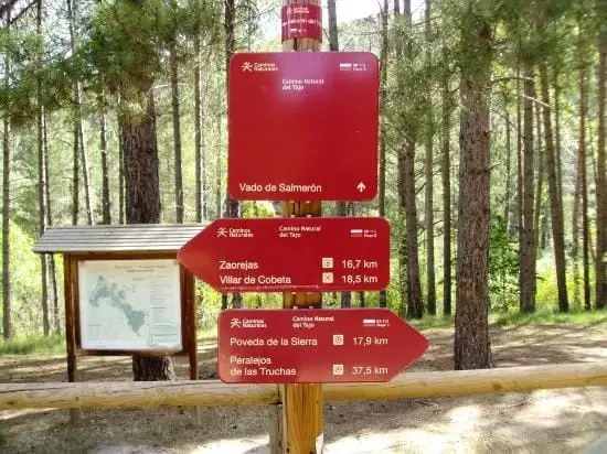
What to see in Carrascosa de Tajo
- Its rock-hewn cellars dug into the hillside, estimated to be between two hundred and four hundred years old.
- The banks of the Tagus, which here leaves the Alto Tajo towards the Alcarria.
The monastery of Óvila
The location was inhabited by Celtiberians, Romans, Visigoths, and Muslims. The present village was established in the 12th century as Carrascosa de Óvila, after Alfonso VIII granted it in 1216 to the monks of the nearby monastery of Santa María de Óvila. It was later called Carrascosa del Río and, from 1582, Carrascosa de Tajo. It remained an independent municipality until 1972, when it merged into Cifuentes.
Nearby
Trillo and the Tetas de Viana.
Routes linked to Carrascosa de Tajo
Near Carrascosa de Tajo
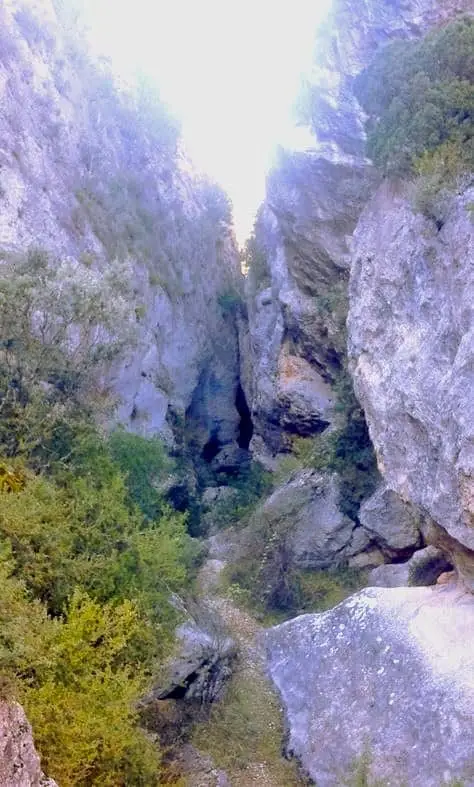
Barranco de la Hoz de Oter and the El Barrancazo gorge
Oter
Valtablado Bridge: a Tagus ford with a poplar grove
Valtablado del RíoTrail 2: Senda del Castillo of Valtablado del Río
8.9 km · 5 h · Circular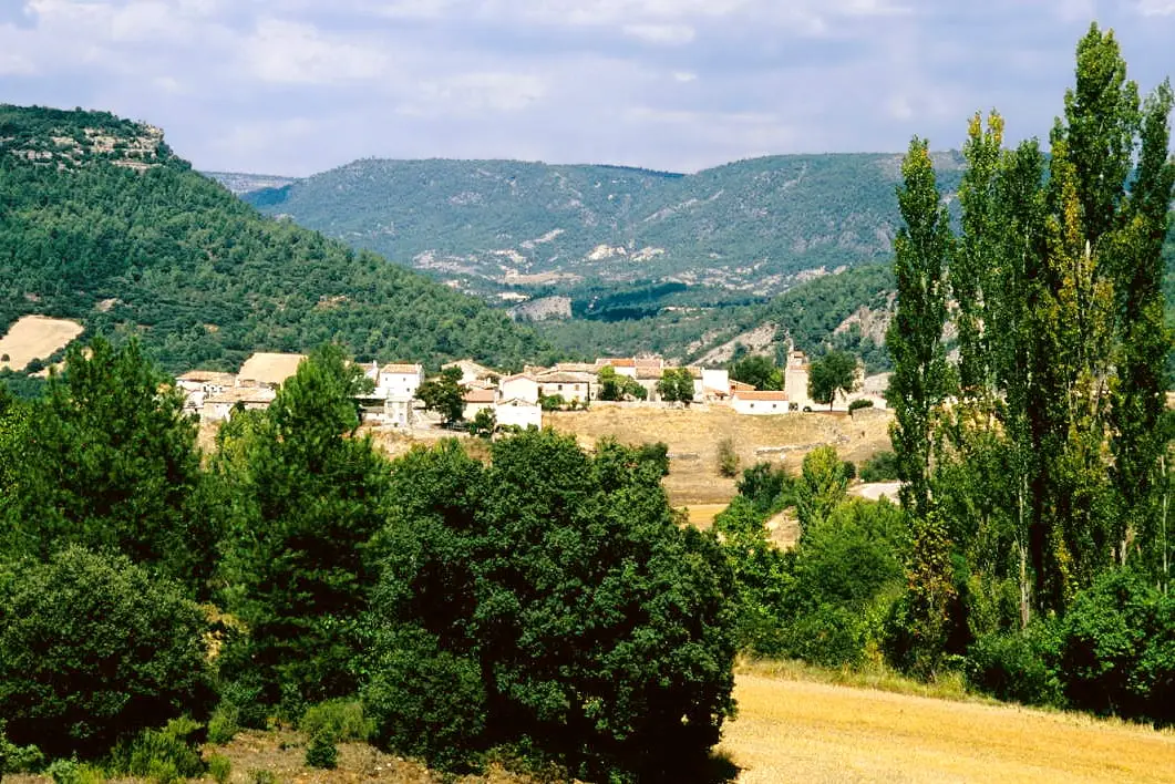
MTB route 1: the circular cycling route of Valtablado del Río
18 km · 3 h · Circular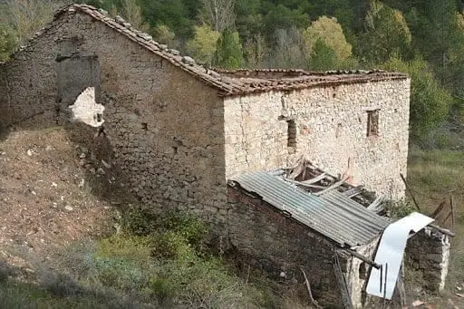
Batán Mill (Ocentejo) and the bridge blown up by the French
Ocentejo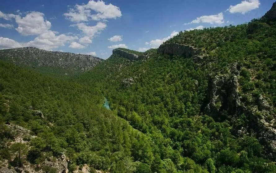
Hundido de Armallones: the rock collapse that dammed the Tagus
Armallones, Ocentejo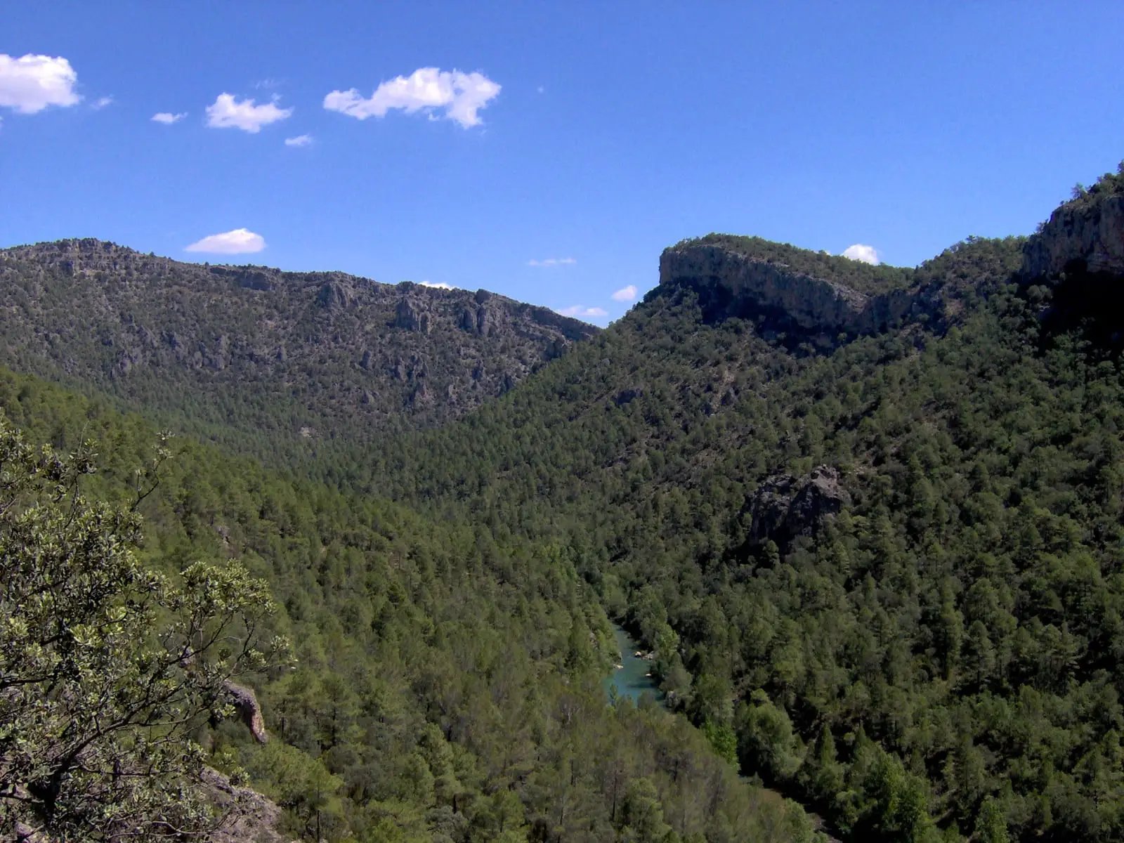
Trail 1 · Geotrail 1: from Ocentejo to Hundido de Armallones
3 km · 1.5 h · Linear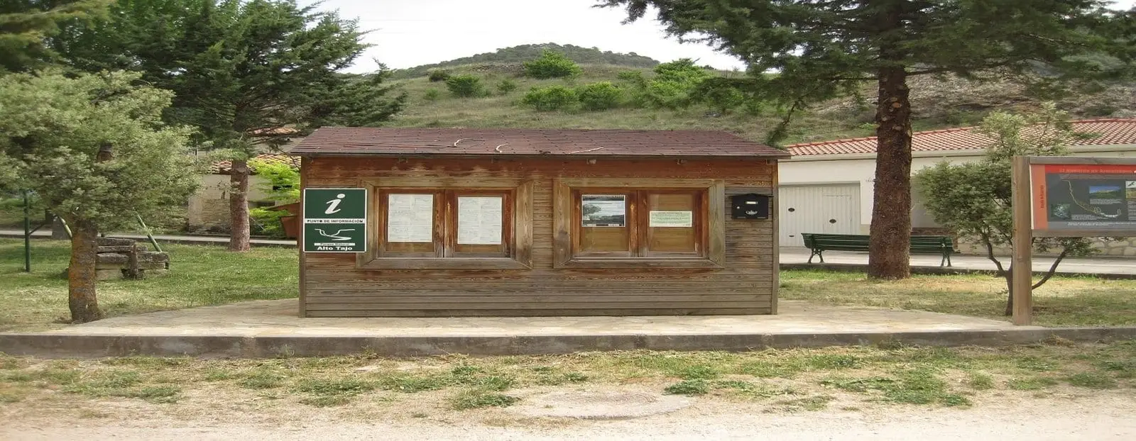
Ocentejo information point
OcentejoPopulation of Carrascosa de Tajo, 1842–1970
Carrascosa de Tajo reached a peak of 510 inhabitants in 1877 ; in 1970 it had 46, before merging into the municipality of Cifuentes. This is the history told in the emptying of the Alto Tajo.
Climate in Carrascosa de Tajo month by month
2015–2024 averages from Copernicus ERA5 reanalysis for an altitude of approx. 848 m. Useful for planning, not a substitute for live forecasts.
Location
● Reference point · ● Villages · ● Places
Location diagram. Detailed map with tracks and names loads on zoom.
Reference villages: Oter · Valtablado del Río · Ocentejo · Arbeteta.
Open the full map and historical layers →