Village · Guadalajara · 902 m
Oter
Oter is a small village in the Alto Tajo at about 900 metres, near Ocentejo and Valtablado del Río. From here the Dehesa stream opens the Hoz de Oter gorge towards the Tagus, featuring a narrow passage, El Barrancazo, where one can touch both cliff walls at once.
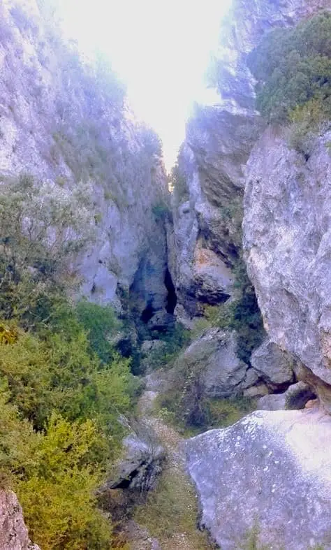
What to see
The Hoz de Oter gorge and its narrow defile, El Barrancazo.
Nearby
Ocentejo and Valtablado del Río, with its bridge over the Tagus.
Places in and around Oter
Routes linked to Oter
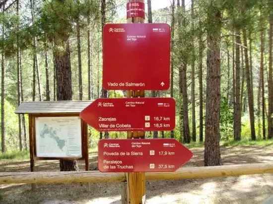
Near Oter
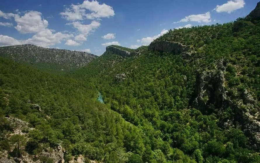
Hundido de Armallones: the rock collapse that dammed the Tagus
Armallones, Ocentejo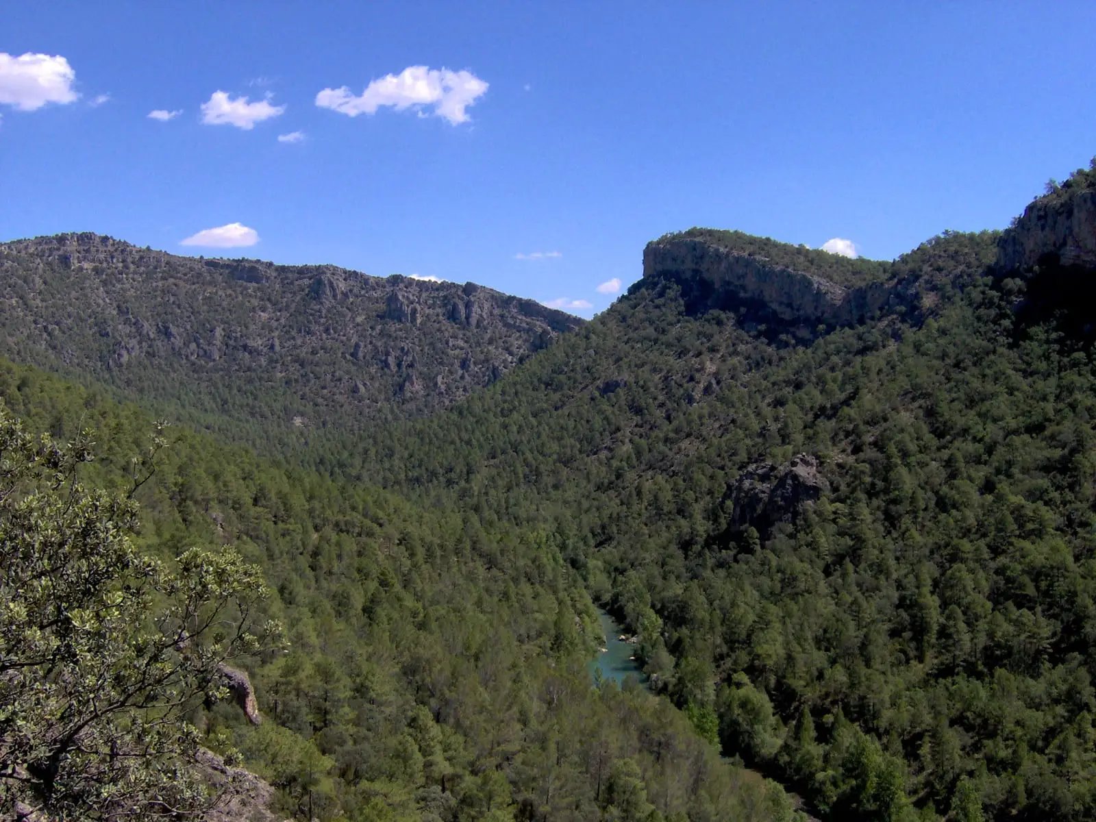
Trail 1 · Geotrail 1: from Ocentejo to Hundido de Armallones
3 km · 1.5 h · Linear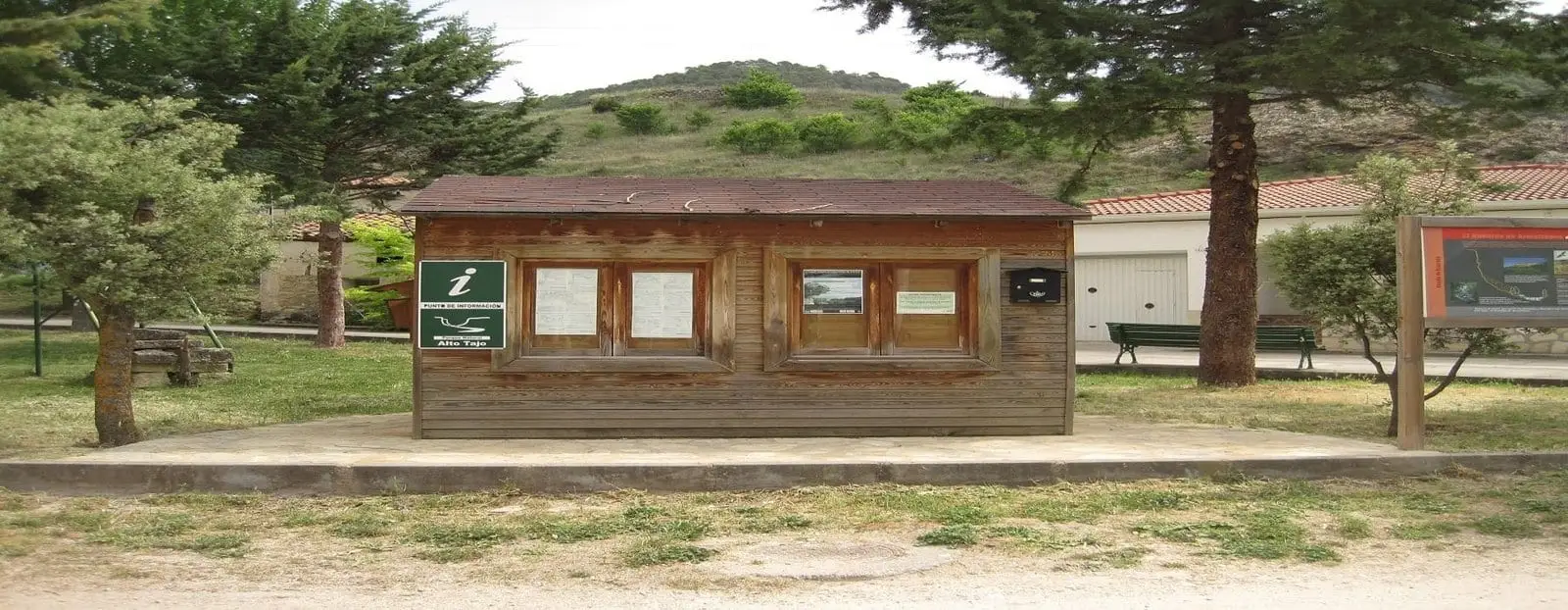
Ocentejo information point
OcentejoLos Ceños recreation area (Ocentejo)
OcentejoCastro de El Castillejo (Ocentejo): the hillfort seen in the days of Philip II
Ocentejo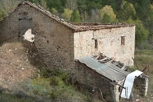
Batán Mill (Ocentejo) and the bridge blown up by the French
OcentejoPico Alar: balcony over the Hundido de Armallones
Ocentejo
Trail 2: Senda del Castillo of Valtablado del Río
8.9 km · 5 h · CircularPopulation of Oter, 1842–1970
Oter reached a peak of 150 inhabitants in 1930 ; in 1970 it had 54, before merging into the municipality of Cifuentes. This is the history told in the emptying of the Alto Tajo.
Climate in Oter month by month
2015–2024 averages from Copernicus ERA5 reanalysis for an altitude of approx. 902 m. Useful for planning, not a substitute for live forecasts.
Location
● Reference point · ● Villages · ● Places
Location diagram. Detailed map with tracks and names loads on zoom.
Reference villages: Carrascosa de Tajo · Ocentejo · Valtablado del Río · Canredondo.
Open the full map and historical layers →