Archaeological site · Ocentejo
Castro de El Castillejo (Ocentejo): the hillfort seen in the days of Philip II
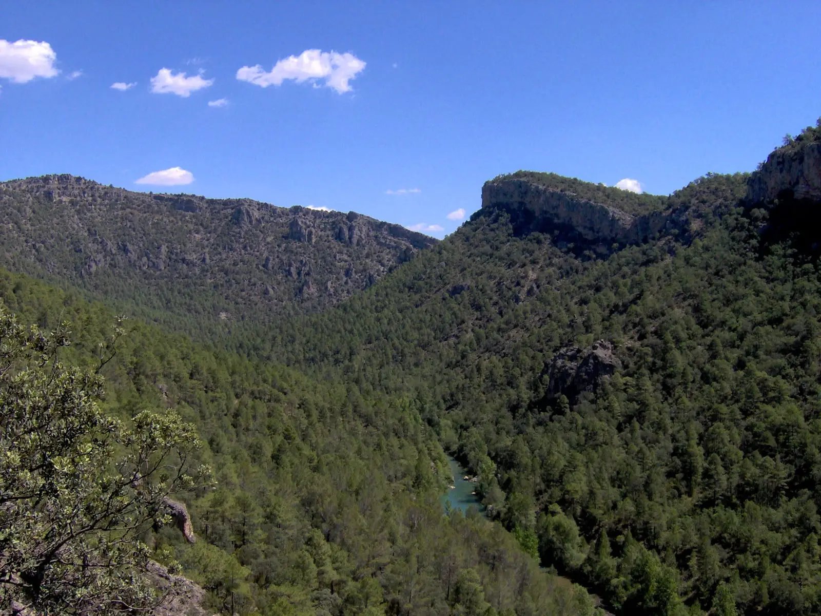
El Castillejo is a Celtiberian hillfort in Ocentejo, above the Tagus canyon. It was described in the 16th-century Relaciones Topográficas of Philip II: an ancient building where a villager found a tomb covered by a slab with Latin inscriptions that no one could read. It has free access and is near the path to Hundido de Armallones.
Lands and landscapes
From here, follow the memory of the territory
These readings connect Castro de El Castillejo (Ocentejo): the hillfort seen in the days of Philip II with the history, work, and villages around it.
This place across time
Which eras you can read here
A single place can preserve traces from different eras. These layers connect what you see with the stories in the atlas.
- Municipality
- Ocentejo
- Province
- Guadalajara
- Celtiberian hillfort
- Relaciones Topográficas of Philip II
- Latin inscriptions
- Unconditioned
What was recorded in the 16th century
In the Relaciones Topográficas surveys commissioned by Philip II across Castilian towns, the villagers of Ocentejo reported two ancient landmarks in their municipal area: a building beside the fuente del Sabinar, where dressed stones had been uncovered, and another at El Castillejo. There, a landowner had unearthed a tomb covered with a stone slab containing the skeletal remains of a person “as if seated”, alongside stones with unreadable inscriptions, one of which displayed a Latin name.
The hillfort
El Castillejo is a Celtiberian hillfort set high above the right bank of the Tagus canyon. The tomb and the Latin inscriptions suggest that the site remained in use into Roman times. From Ocentejo, Sendero 1 · Georuta 1 leads toward the Hundido de Armallones.
Location
On the map, the marker indicates the village, not the exact hilltop. Read more in the Celtiberians of the Alto Tajo.
Visiting
A clear distinction must be made: among all the Celtiberian hillforts in the Señorío, only two are genuinely prepared for visitors, El Ceremeño in Herrería and Peña Moñuz in Olmeda de Cobeta. El Castillejo has received little conditioning for the public: it is unadapted, virtually unsignposted, and what remains visible on the surface is very difficult to interpret without specialist guidance. If you visit, stay on the paths, do not climb on the walls, and do not remove anything from the ground.
Location
● Reference point · ● Villages · ● Places
Location diagram. Detailed map with tracks and names loads on zoom.
Approximate position: village centre.
Reference villages: Ocentejo · Oter · Canales del Ducado · Valtablado del Río.
Open the full map and historical layers →