Route · Valtablado del Río
Sendero 2: Trail 2: Senda del Castillo of Valtablado del Río
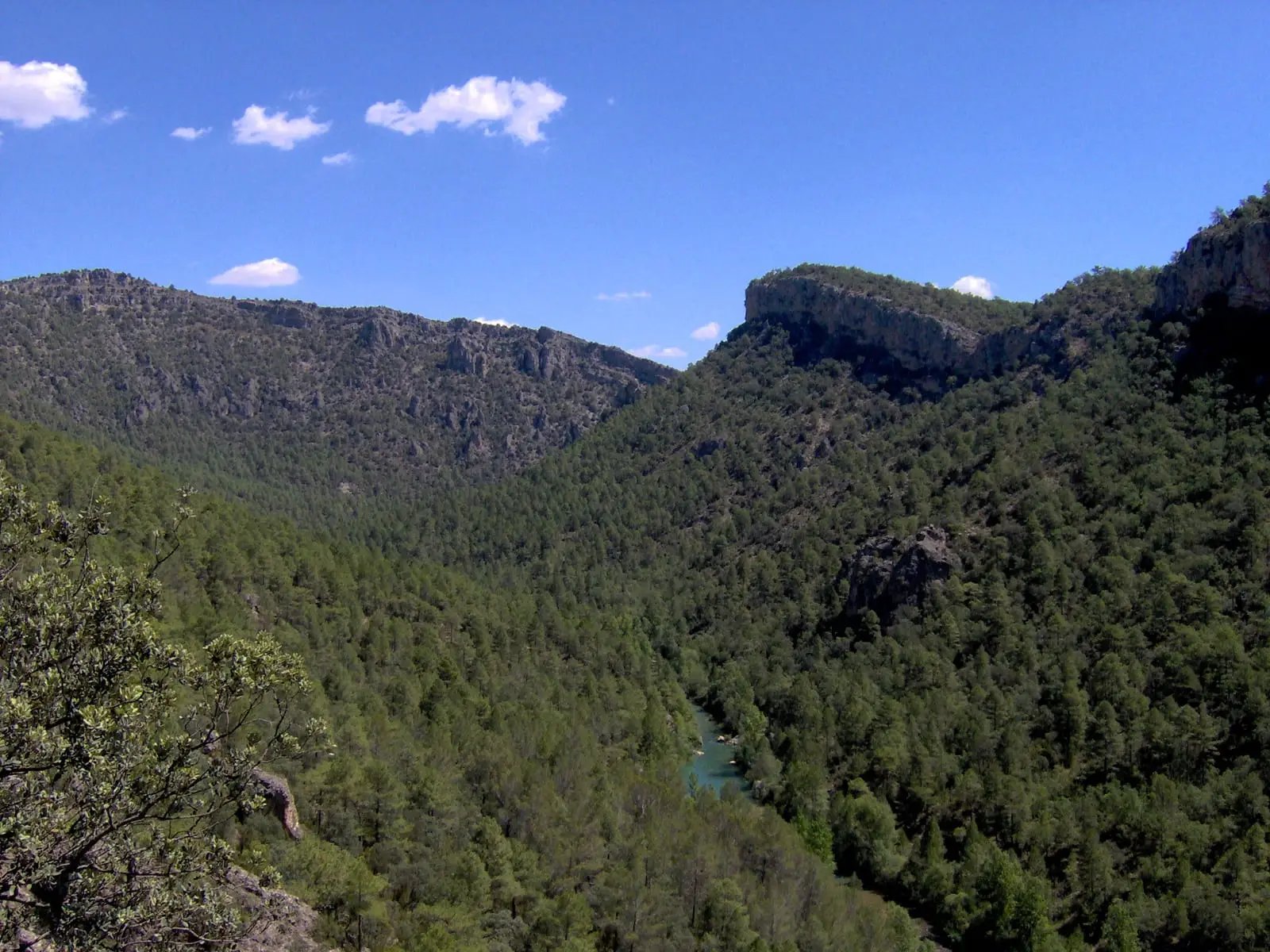
Circular trail of 8.9 km from Valtablado del Río, moderate difficulty and about 5 hours, descending to the Tagus on the GR-10, climbing Peña del Castillo (1,025 m), and returning along an old timber skidway. Summit provides wide views and griffon vulture sightings.

Lands and landscapes
From here, follow the memory of the territory
These readings connect Trail 2: Senda del Castillo of Valtablado del Río with the history, work, and villages around it.
- Code
- Sendero 2
- Distance
- 8.9 km
- Elevation gain
- 472 m
- Duration
- 5 h
- Trail type
- Circular
- Difficulty
- Moderate
- Altitude
- 832 m
Walking duration without transfers or stops. Difficulty rated according to the official source; verify its conditions and notices. “Easy” does not imply wheelchair or stroller accessibility.
- Sendero 2
- Circular, moderate difficulty
- Peña del Castillo
- Timber skidway
- Formerly SL PNAT 3
The route
Starts at the edge of Valtablado del Río beside the trail panel and follows the Ocentejo road for a few hundred metres before descending to the Tagus along a footpath coinciding with the GR-10 (white and red markings). Afterwards, follow the blue and white trail markers. Pines gradually yield to junipers and Spanish junipers, and tracks of roe deer, red deer, fox, and wild boar appear on the ground.
Peña del Castillo
The climb up the limestone plateau entails noticeable elevation gain; follow a quiet track to a small viewpoint and, from there, footpaths and a linear spur to the summit, paying close attention to waymarks. The panorama rewards the effort. The descent is steep, along an old timber skidway where felled logs were slid towards the river, ending among village kitchen plots. There are no water sources on the trail: bring sufficient water.
Before you set out
Carry water, mountain footwear, and download the GPS track in advance: mobile reception is absent in many areas. Check the forecast on Today in the Alto Tajo and the official trail sheet for notices and closures, and respect seasonal restrictions during raptor breeding periods.
Official route · Parque Natural del Alto Tajo (Junta de Castilla-La Mancha). Description, track and notices on the official guide. Before setting out, verify there whether changes or closures apply.
Location
● Reference point · ● Villages · ● Places · ━ Simplified official route
Location diagram. Detailed map with tracks and names loads on zoom.
Reference villages: Valtablado del Río · Arbeteta · Oter · Ocentejo.
Open the full map and historical layers →Other nearby routes
All routes →
MTB route 1: the circular cycling route of Valtablado del Río
18 km · 3 h · CircularTrail 3: Rambla del Avellano (Arbeteta)
10 km · 4 h · Circular