Geosite · Ocentejo
Pico Alar: balcony over the Hundido de Armallones
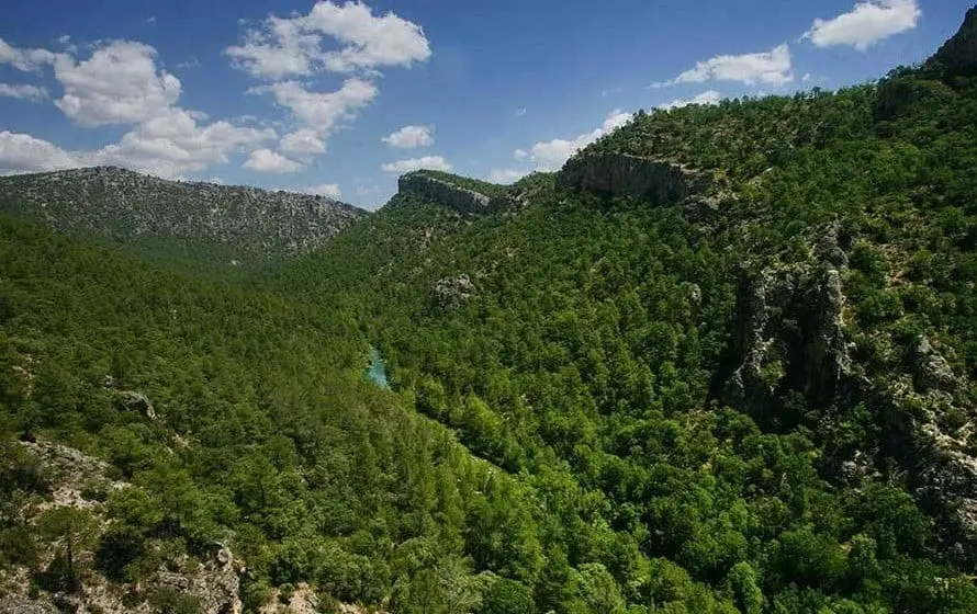
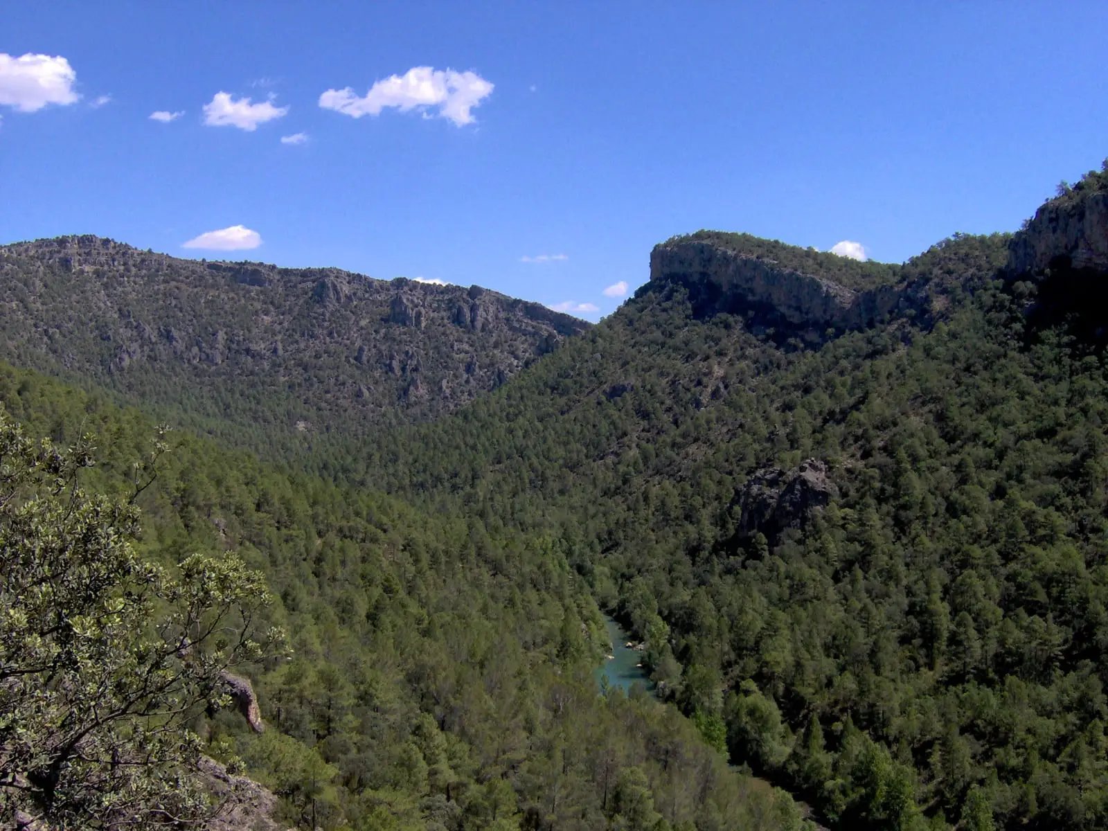
Pico Alar, at about 1,100 metres, rises above the Tagus canyon next to the Hundido de Armallones in Ocentejo, offering one of the finest views over the gorge. The Hundido is a massive 16th-century rockfall that nearly blocked the river, already documented in Philip II's surveys in 1578.
Lands and landscapes
From here, follow the memory of the territory
These readings connect Pico Alar: balcony over the Hundido de Armallones with the history, work, and villages around it.
- Municipality
- Ocentejo
- Province
- Guadalajara
- Altitude
- 1,076 m
- About 1,100 m
- Canyon views
- Hundido de Armallones
- Ocentejo
A natural lookout
High above the Tagus canyon, in the municipality of Ocentejo, Pico Alar reaches about 1,100 metres. From the summit you look straight down into the river running between sheer walls, with the Hundido de Armallones at your feet.
The Hundido
The Hundido is an enormous rock collapse that in the 16th century almost completely blocked the riverbed. The answers sent by Ocentejo in 1578 to Philip II’s Topographical Surveys already described its aftermath, showing it happened just years before. The fallen boulders created a turquoise pool trapped between cliffs and an impressive landscape.
How to climb it
It lies very close to the Sendero 1 · Georuta 1 trail, which descends from Ocentejo down to the Hundido de Armallones.
Location
● Reference point · ● Villages · ● Places
Location diagram. Detailed map with tracks and names loads on zoom.
Reference villages: Ocentejo · Canales del Ducado · Oter · Valtablado del Río.
Open the full map and historical layers →