Village · Guadalajara · 1,116 m
Sacecorbo
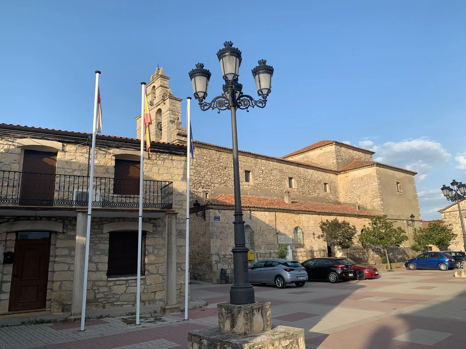
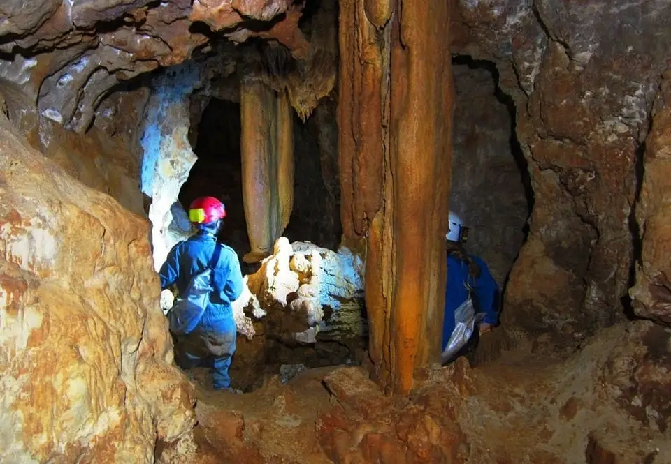
Sacecorbo is an Alto Tajo village at around 1,120 metres near Canales del Ducado. Its territory contains Cueva de las Majadillas, with over two kilometres of nearly horizontal galleries, one of the largest in Guadalajara.
What to see
Cueva de las Majadillas, only with proper gear and experience due to its vertical entrance shaft.
Nearby
Canales del Ducado and the Hoz del Ablanquejo, and Ocentejo.
Places in and around Sacecorbo
Near Sacecorbo
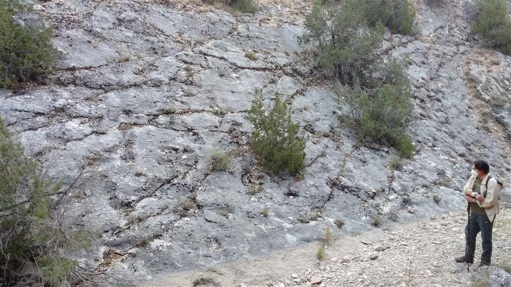
Fossil ray traces of Esplegares, from the Lower Jurassic
Esplegares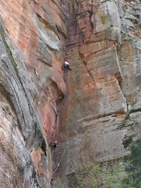
Climbing in Barranco de la Hoz
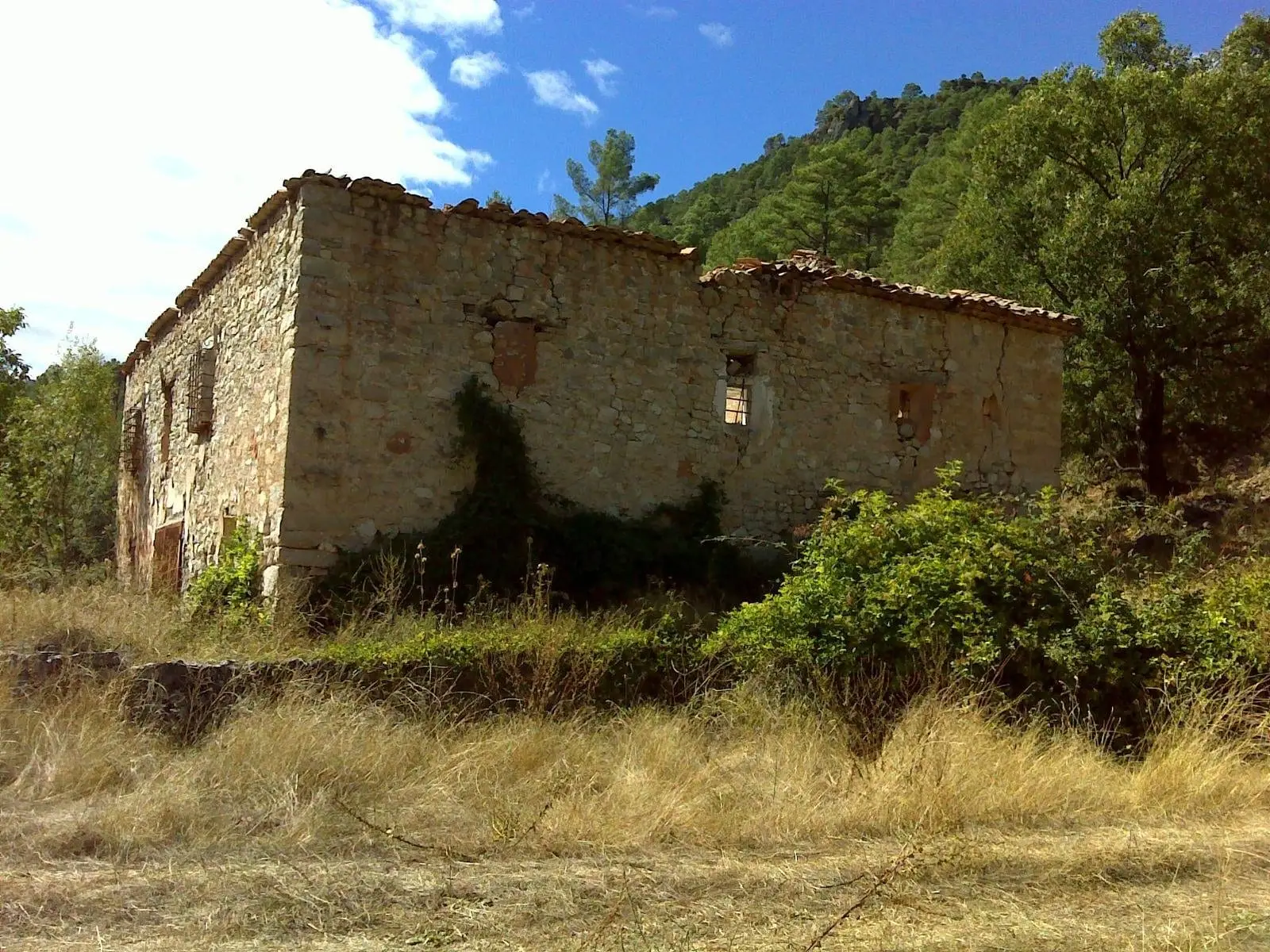
La Inesperada saltworks (Ocentejo)
Ocentejo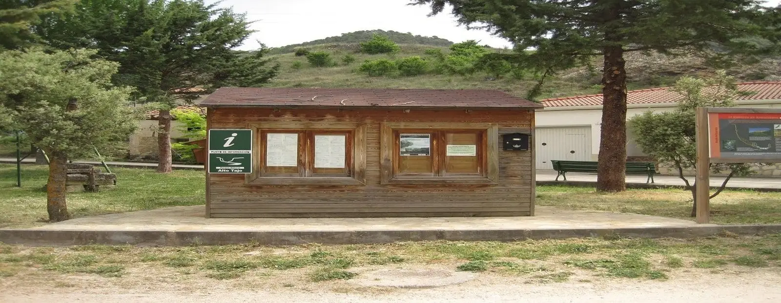
Ocentejo information point
OcentejoLos Ceños recreation area (Ocentejo)
OcentejoCastro de El Castillejo (Ocentejo): the hillfort seen in the days of Philip II
Ocentejo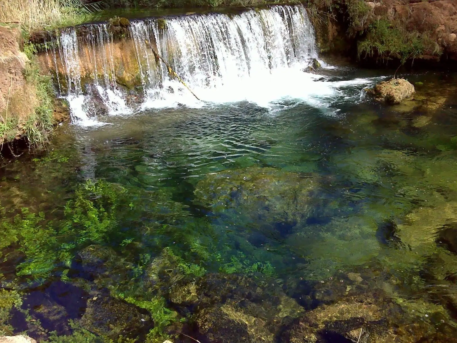
Hoz del Río Ablanquejo: a wild, pathless canyon
Ablanque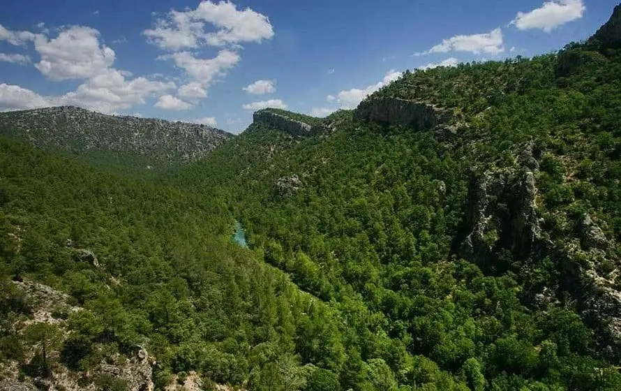
Hundido de Armallones: the rock collapse that dammed the Tagus
Armallones, OcentejoPopulation of Sacecorbo, 1842–2021
Sacecorbo reached a peak of 677 inhabitants in 1910 . In the 2021 census there were 93 , a decrease of 86%. This is the history told in the emptying of the Alto Tajo.
Climate in Sacecorbo month by month
2015–2024 averages from Copernicus ERA5 reanalysis for an altitude of approx. 1,116 m. Useful for planning, not a substitute for live forecasts.
Location
● Reference point · ● Villages · ● Places
Location diagram. Detailed map with tracks and names loads on zoom.
Reference villages: Esplegares · Canales del Ducado · Ocentejo · Canredondo.
Open the full map and historical layers →