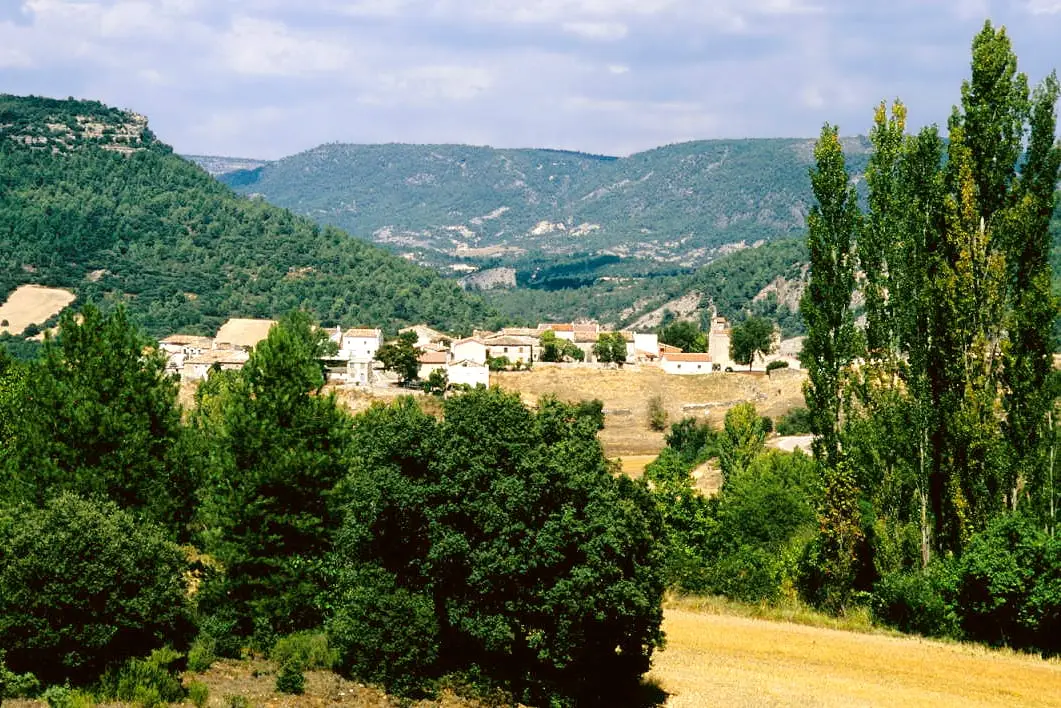
Route · Ocentejo, Armallones
Sendero 1: Trail 1 · Geotrail 1: from Ocentejo to Hundido de Armallones
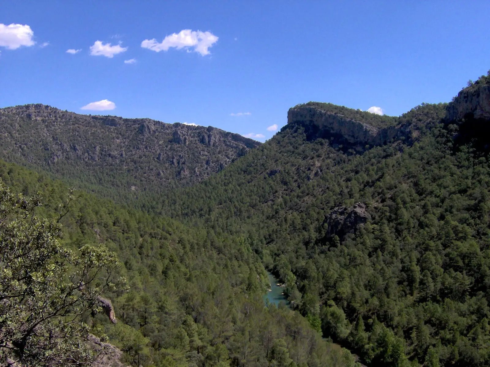
Sendero 1 of the Natural Park (also Georuta 1) leaves Ocentejo along the track entering the Tagus canyon to Hundido de Armallones. Around 3 km one way, linear, low difficulty, returning along the same path. Panels explain how the river sculpted vertical cliff faces.
Lands and landscapes
From here, follow the memory of the territory
These readings connect Trail 1 · Geotrail 1: from Ocentejo to Hundido de Armallones with the history, work, and villages around it.
- Code
- Sendero 1 · Georuta 1
- Distance
- 3 km
- Duration
- 1.5 h
- Trail type
- Linear
- Difficulty
- Easy
- Altitude
- 848 m
Walking duration without transfers or stops. Check in the official source whether distance and time include the return leg. Difficulty rated according to the official source; verify its conditions and notices. “Easy” does not imply wheelchair or stroller accessibility.
- Sendero 1 · Georuta 1
- Linear, out and back
- Low difficulty
- Cliff-nesting raptors
Inside the canyon
The route follows on foot the track descending from Ocentejo into the canyon floor and overlooks the Hundido de Armallones from the right bank of the Tagus. It is one of the places where the erosive force of the river is most striking: vertical cliffs where rock-nesting raptors breed. Interpretive panels explain how the canyon formed, and the Park provides a self-guided brochure on its official site.
Leave your vehicle in the village
The trailhead panel stands at the start of the signposted track to El Hundido. The track is rough and motorized access into El Hundido is restricted to avoid disturbing wildlife: park in the village beside the Ocentejo Information Point. Return via the same route. Nearby stands Pico Alar.
Before you set out
Carry water, mountain footwear, and download the GPS track in advance: mobile reception is absent in many areas. Check the forecast on Today in the Alto Tajo and the official trail sheet for notices and closures, and respect seasonal restrictions during raptor breeding periods.
Official route · Parque Natural del Alto Tajo (Junta de Castilla-La Mancha). Description, track and notices on the official guide. Before setting out, verify there whether changes or closures apply.
Location
● Reference point · ● Villages · ● Places · ━ Simplified official route
Location diagram. Detailed map with tracks and names loads on zoom.
Reference villages: Ocentejo · Oter · Canales del Ducado · Valtablado del Río.
Open the full map and historical layers →