Village · Guadalajara · 1,163 m
Canredondo
Canredondo is a village at about 1,160 metres on the western paramera of the district, near Torrecuadradilla, Sacecorbo and Oter. Its name derives from a round field (campo redondo), a large cultivated expanse. It features a 17th-century church of La Asunción and appears in Galdós's Episodios Nacionales.
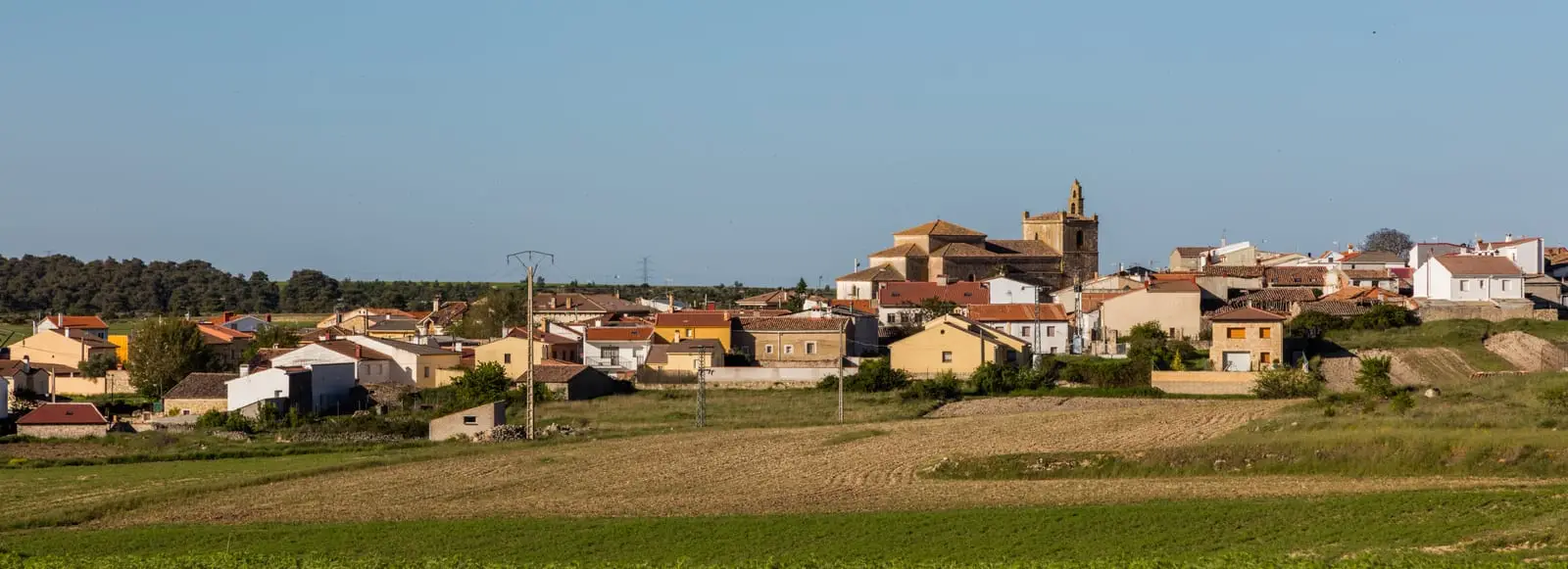
A round field
Canredondo stands at about 1,160 metres, on the western parameras of the district. Its name reflects the landscape: a round field (campo redondo), a broad agricultural expanse without a dominant direction. Local place names include Los Castillejos, El Torreón, El Navajo, and Las Fuentes.
What to see
- The church of La Asunción, from the 17th century.
- The festival of the Visitation of the Virgin, on the first weekend of July.
In the Episodios Nacionales
Benito Pérez Galdós mentions Canredondo in Juan Martín el Empecinado, his novel on the guerrilla warfare of the Peninsular War, which played out across these mountains. In the mid-19th century the village had over 500 inhabitants.
Nearby
Torrecuadradilla and the Tajuña valley, Sacecorbo and Oter.
Near Canredondo
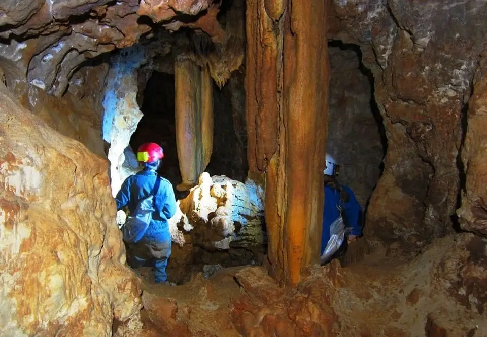
Cueva de las Majadillas (Sacecorbo): the caving school
Sacecorbo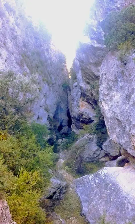
Barranco de la Hoz de Oter and the El Barrancazo gorge
Oter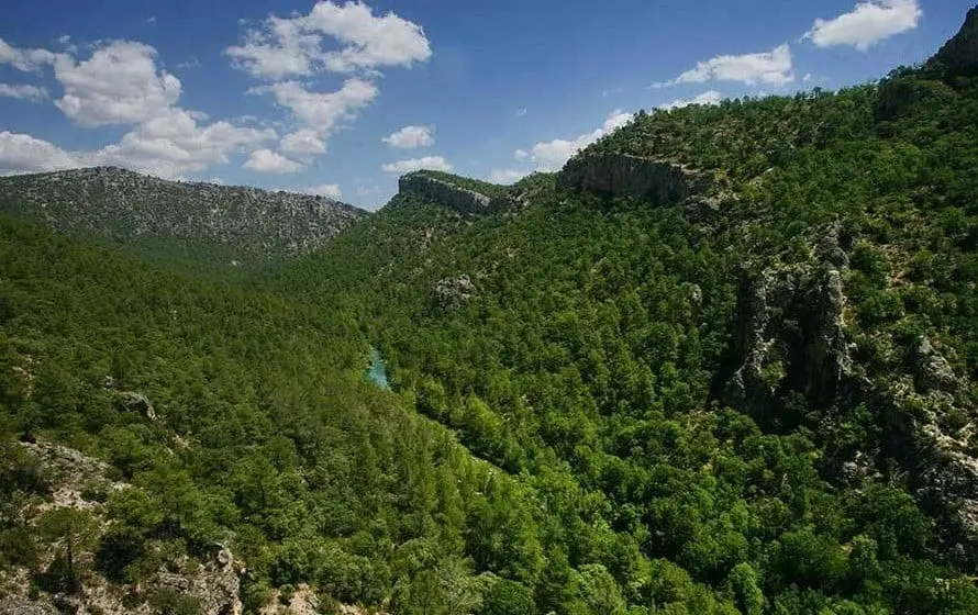
Hundido de Armallones: the rock collapse that dammed the Tagus
Armallones, Ocentejo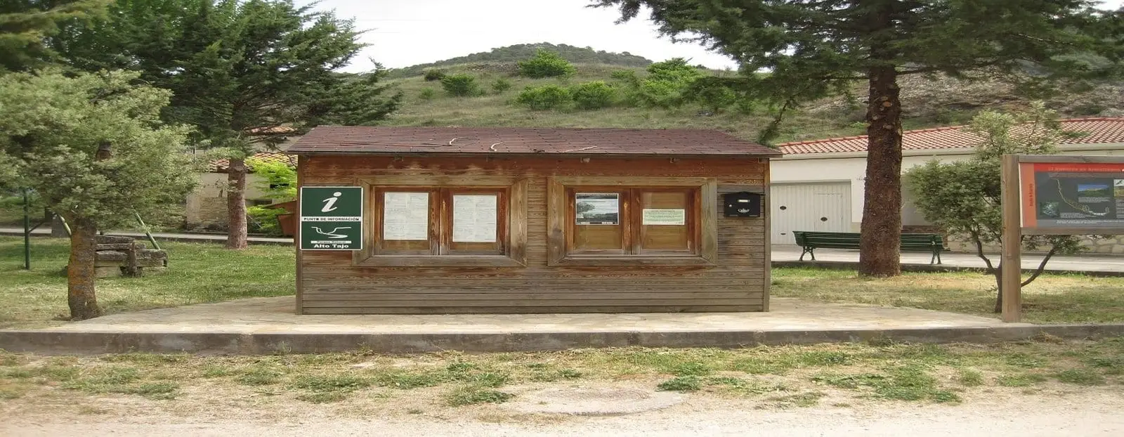
Ocentejo information point
OcentejoLos Ceños recreation area (Ocentejo)
OcentejoCastro de El Castillejo (Ocentejo): the hillfort seen in the days of Philip II
Ocentejo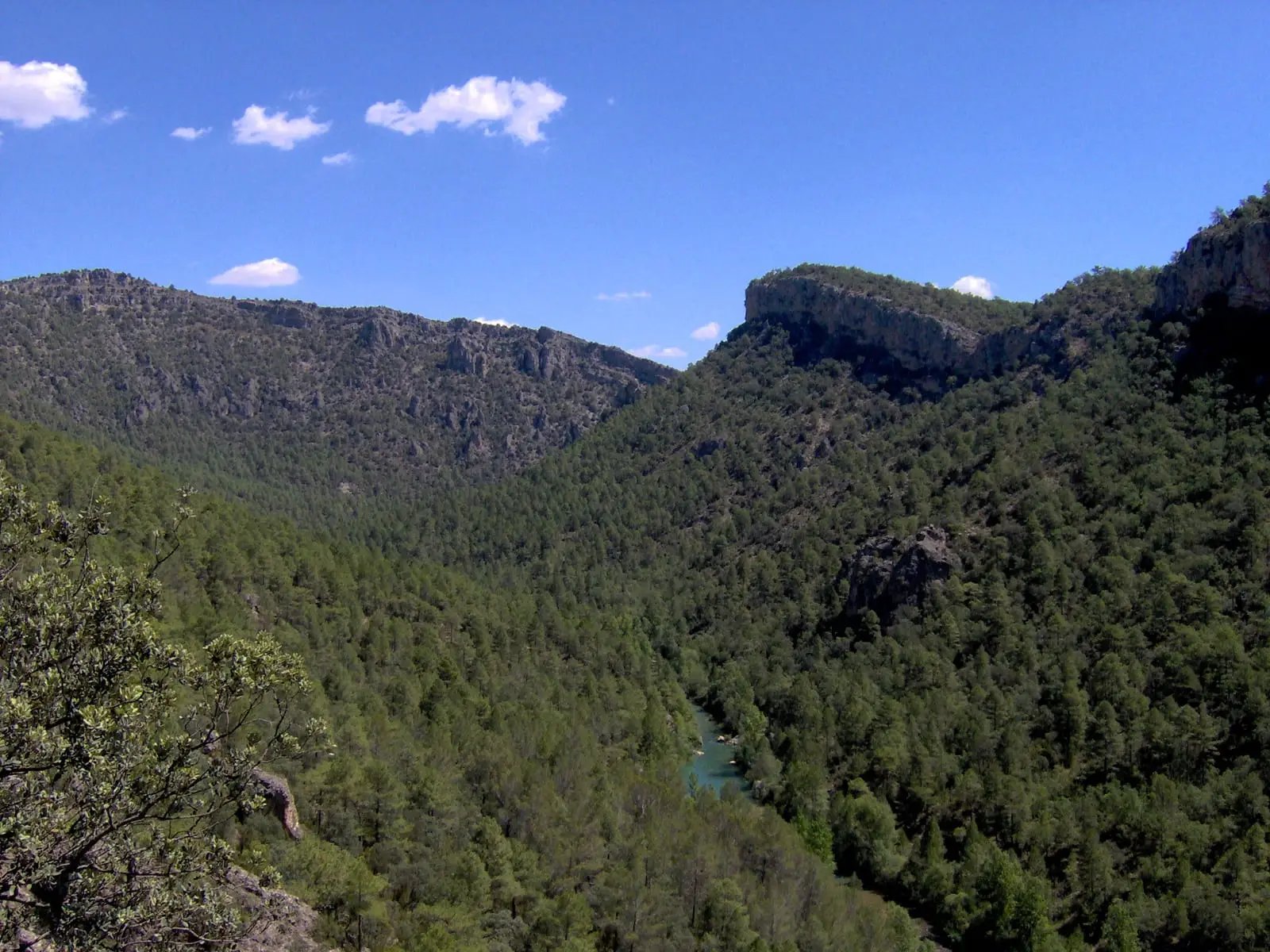
Trail 1 · Geotrail 1: from Ocentejo to Hundido de Armallones
3 km · 1.5 h · LinearPico Alar: balcony over the Hundido de Armallones
OcentejoPopulation of Canredondo, 1842–2021
Canredondo reached a peak of 551 inhabitants in 1877 . In the 2021 census there were 76 , a decrease of 86%. This is the history told in the emptying of the Alto Tajo.
Climate in Canredondo month by month
2015–2024 averages from Copernicus ERA5 reanalysis for an altitude of approx. 1,163 m. Useful for planning, not a substitute for live forecasts.
Location
● Reference point · ● Villages · ● Places
Location diagram. Detailed map with tracks and names loads on zoom.
Reference villages: Torrecuadradilla · Sacecorbo · Oter · Ocentejo.
Open the full map and historical layers →