Village · Guadalajara · 839 m
Valtablado del Río
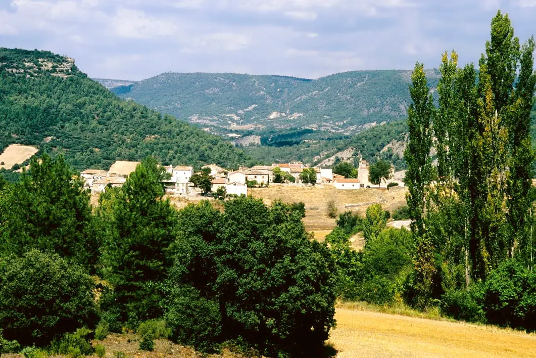
Valtablado del Río is one of the Alto Tajo’s lowest villages, around 840 metres above sea level, beside the river. Below the GU-929 bridge the Tajo forms a ford with a poplar grove. The Senda del Castillo, with an old timber dragway, and an official cycle touring route set out from the village.
Rivers and basins
The thread of water from Valtablado del Río
Follow these watercourses towards their confluences, villages, and basin history.
Lands and landscapes
From here, follow the memory of the territory
These readings connect Valtablado del Río with the history, work, and villages around it.
What to see
The bridge of Valtablado, a river ford with a poplar grove crossed by the Camino Natural del Tajo and the GR-10.
Routes
- Senda del Castillo, moderate with steep passages.
- The mountain biking route of Valtablado.
Places in and around Valtablado del Río
Routes linked to Valtablado del Río

Trail 2: Senda del Castillo of Valtablado del Río
8.9 km · 5 h · Circular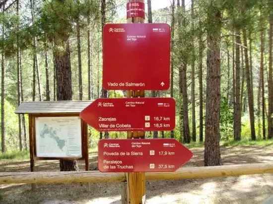
GR-113, Camino Natural del Tajo, through the Alto Tajo
135 km · 35 h · Linear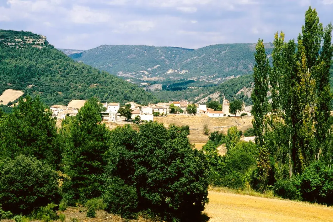
MTB route 1: the circular cycling route of Valtablado del Río
18 km · 3 h · CircularGR-10 (E7) through the Alto Tajo: the Valencia to Lisbon trail
130 km · 32 h · LinearNear Valtablado del Río
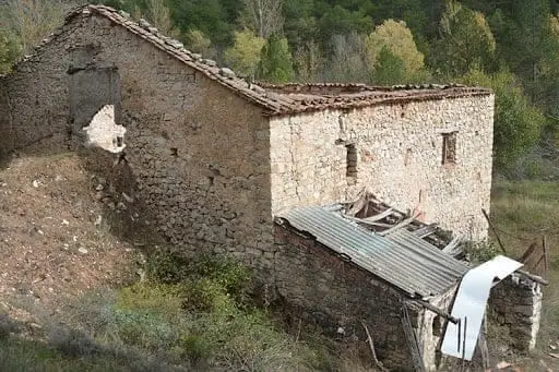
Batán Mill (Ocentejo) and the bridge blown up by the French
Ocentejo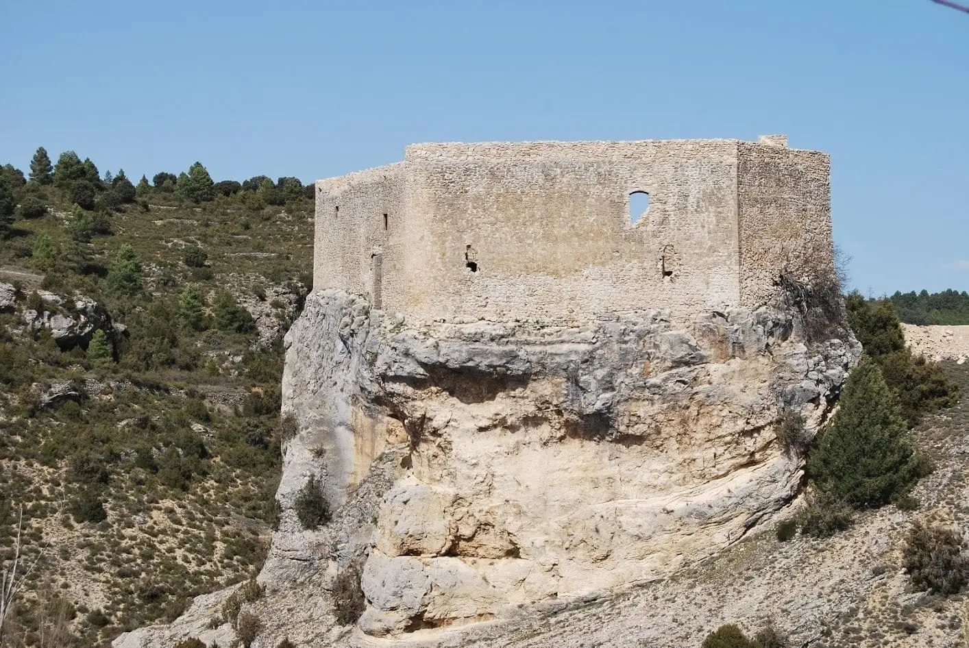
Castle of Arbeteta: the rock fortress guarding the Tagus route
ArbetetaTrail 3: Rambla del Avellano (Arbeteta)
10 km · 4 h · Circular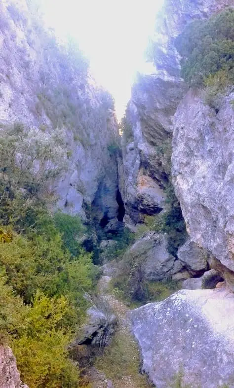
Barranco de la Hoz de Oter and the El Barrancazo gorge
OterPico Alar: balcony over the Hundido de Armallones
Ocentejo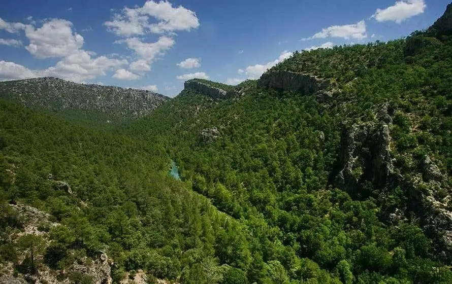
Hundido de Armallones: the rock collapse that dammed the Tagus
Armallones, Ocentejo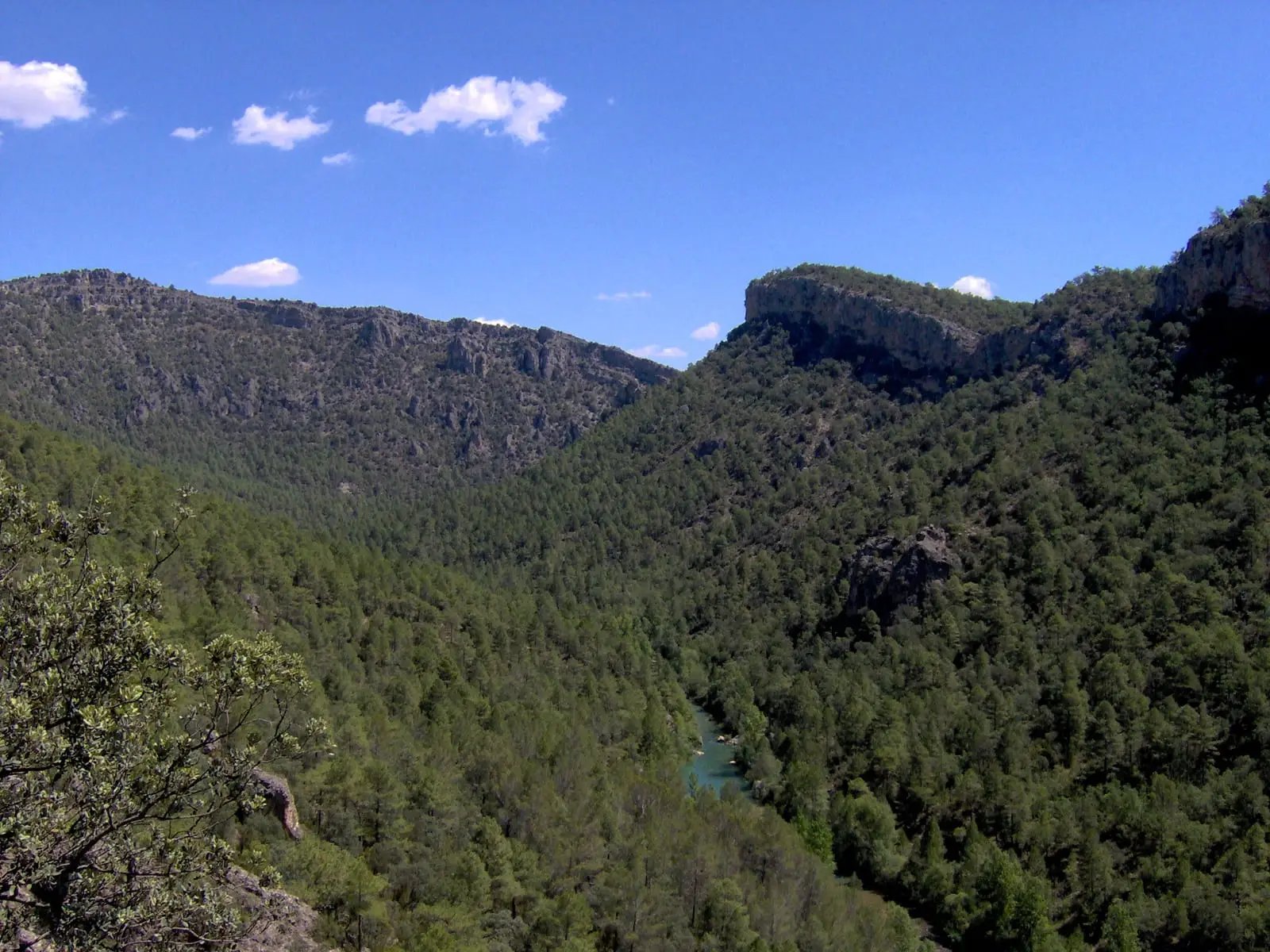
Trail 1 · Geotrail 1: from Ocentejo to Hundido de Armallones
3 km · 1.5 h · Linear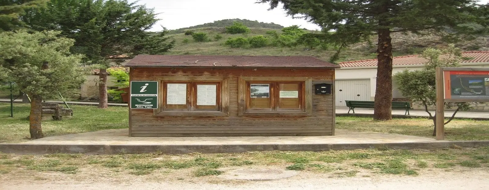
Ocentejo information point
OcentejoPopulation of Valtablado del Río, 1842–2021
Valtablado del Río reached a peak of 237 inhabitants in 1910 . In the 2021 census there were 8 , a decrease of 97%. This is the history told in the emptying of the Alto Tajo.
Climate in Valtablado del Río month by month
2015–2024 averages from Copernicus ERA5 reanalysis for an altitude of approx. 839 m. Useful for planning, not a substitute for live forecasts.
Location
● Reference point · ● Villages · ● Places
Location diagram. Detailed map with tracks and names loads on zoom.
Reference villages: Arbeteta · Oter · Ocentejo · Carrascosa de Tajo.
Open the full map and historical layers →