Village · Guadalajara · 859 m
Ocentejo
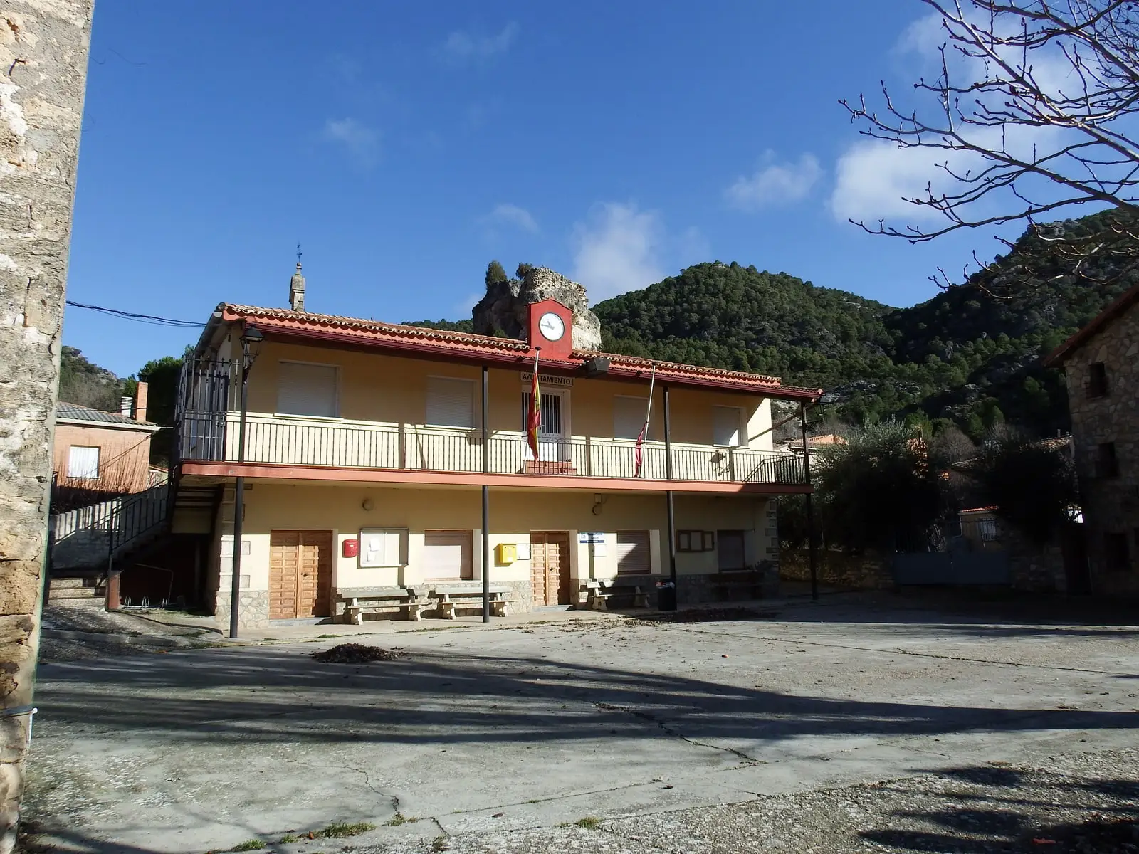
Ocentejo is a village in the Alto Tajo at about 860 metres on the banks of the Tagus, nestled beneath the cliffs of the Hundido de Armallones. It was its neighbours who wrote to Philip II in 1578 about the great landslide. It is the main trailhead for walking into the Hundido de Armallones.
Rivers and basins
The thread of water from Ocentejo
Follow these watercourses towards their confluences, villages, and basin history.
Lands and landscapes
From here, follow the memory of the territory
These readings connect Ocentejo with the history, work, and villages around it.
Traces in the village and its surroundings
Which eras you can read here
A single place can preserve traces from different eras. These layers connect what you see with the stories in the atlas.
Close to the river
Ocentejo lies in one of the lower sectors of the Park, almost at the waters of the Tagus, giving it a milder climate than the high plateaus. In 1578 its villagers wrote to Philip II petitioning for relief after the landslide that blocked the river at the Hundido de Armallones.
What to see
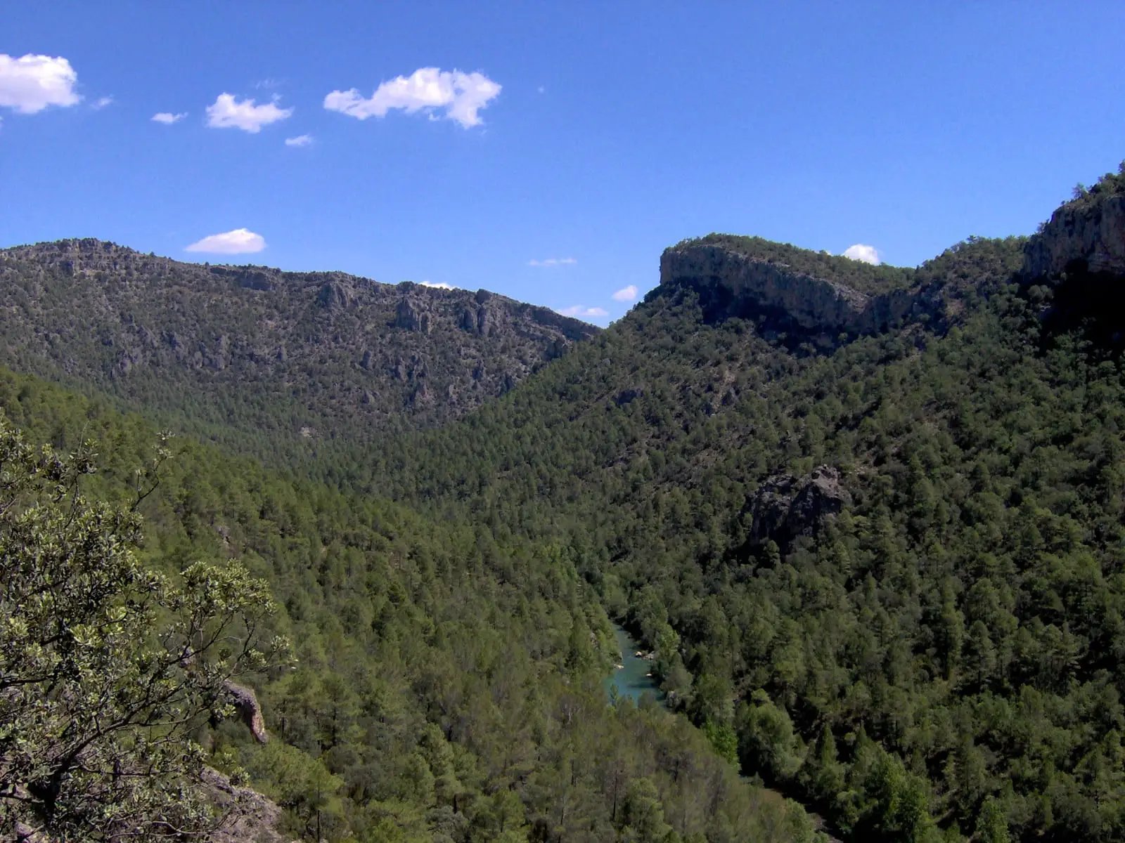
- Hundido de Armallones, one of the dramatic canyon stretches of the Tagus.
- Salinas de la Inesperada, ruins of salt evaporation pans beside the river.
- Molino del Batán.
- The recreation area of Los Ceños and the Park’s information point.
- The hillfort of El Castillejo, already cited in the Relaciones of Philip II.
Routes
Sendero 1 · Georuta 1, from Ocentejo to the Hundido de Armallones.
Planning your visit
Structure the day around Sendero 1 into the canyon. The village walk and the canyon hike represent distinct stages of the outing.
Before travelling
Download the route map and allow adequate daylight for the return. Ruins of saltworks and mills are not officially prepared for visitor entry.
Combining visits
Continue with the Hundido de Armallones. Consult its guide to determine if it fits the same excursion.
Places in and around Ocentejo
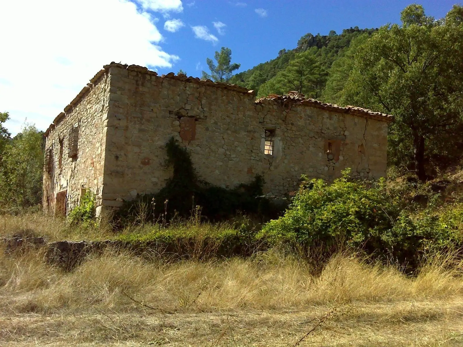
La Inesperada saltworks (Ocentejo)
Ocentejo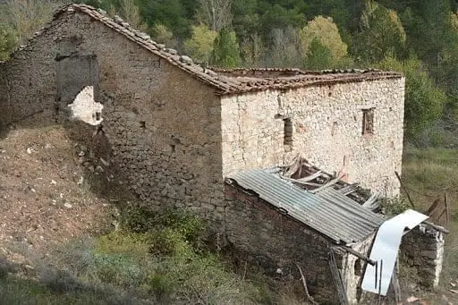
Batán Mill (Ocentejo) and the bridge blown up by the French
Ocentejo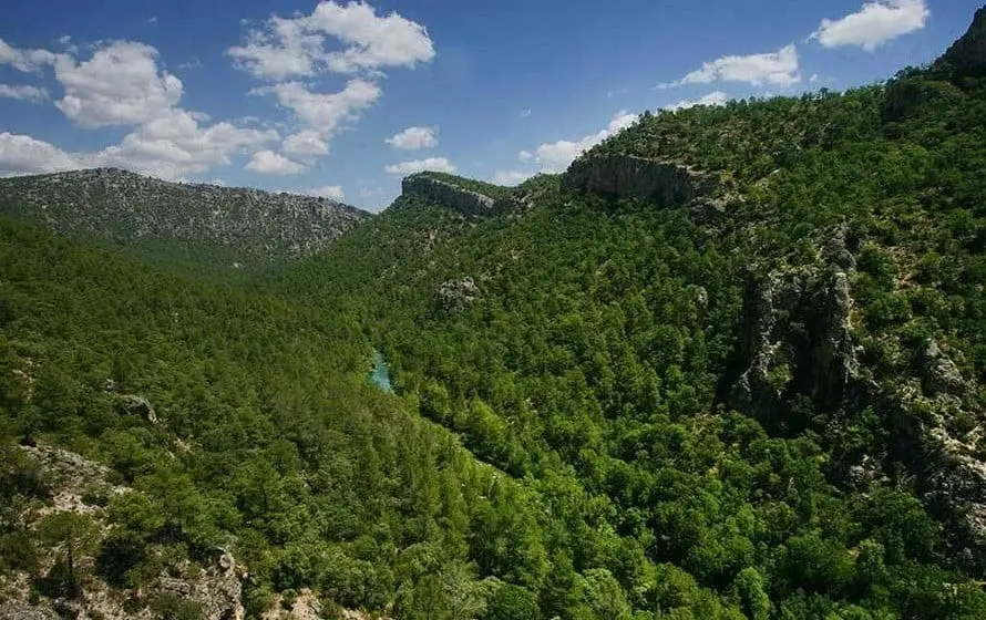
Hundido de Armallones: the rock collapse that dammed the Tagus
Armallones, Ocentejo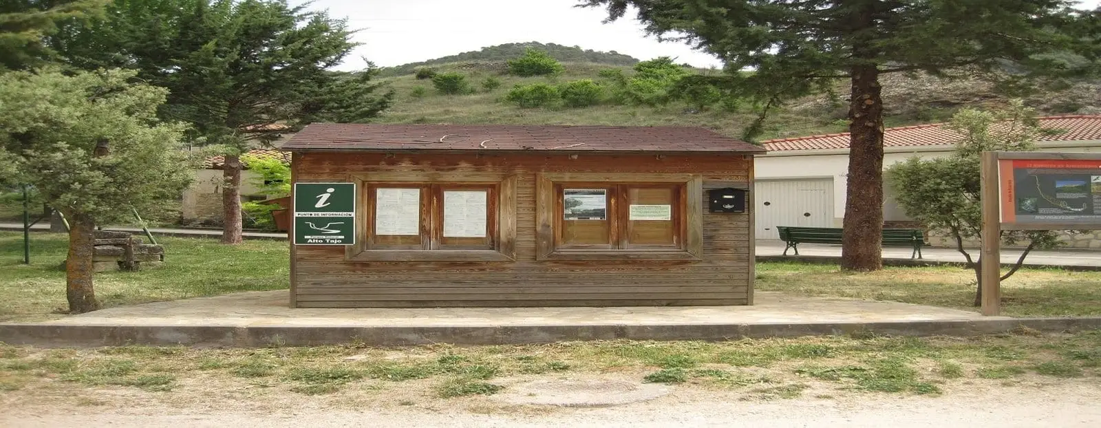
Ocentejo information point
OcentejoLos Ceños recreation area (Ocentejo)
OcentejoPico Alar: balcony over the Hundido de Armallones
OcentejoCastro de El Castillejo (Ocentejo): the hillfort seen in the days of Philip II
OcentejoRoutes linked to Ocentejo
Near Ocentejo
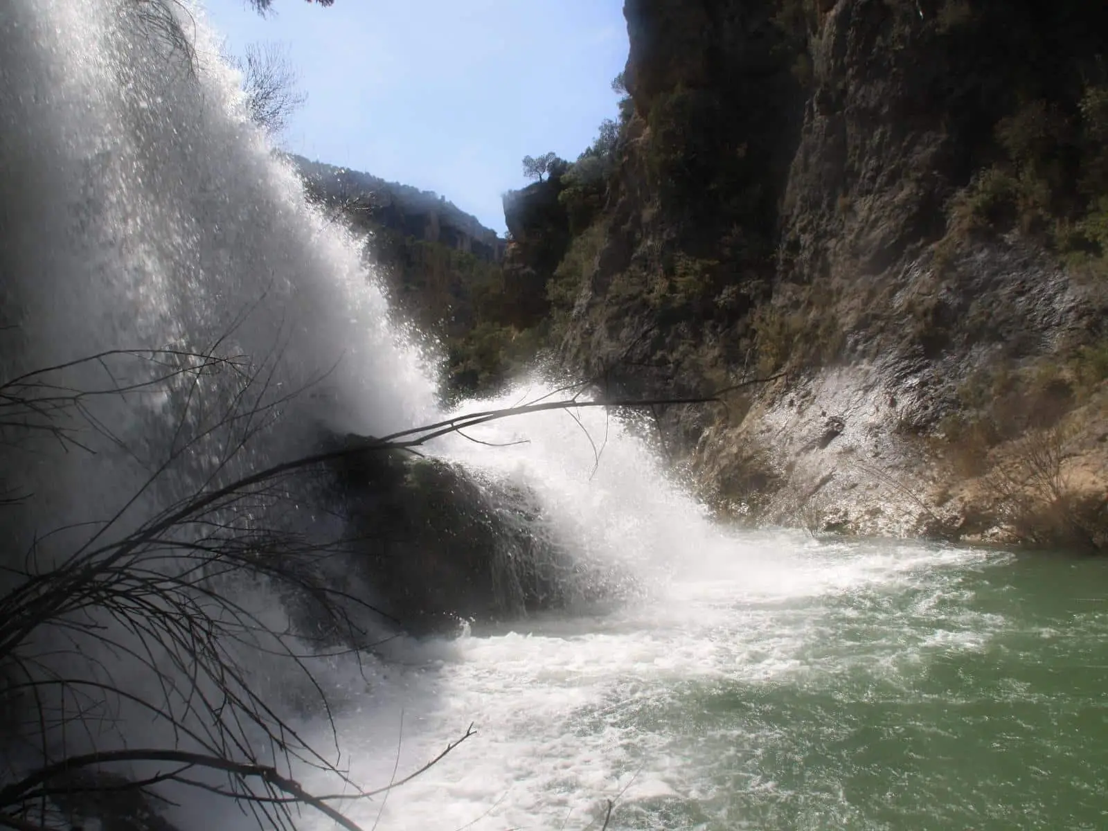
Los Ojos de la Cárquima: the hidden Tagus waterfall
Armallones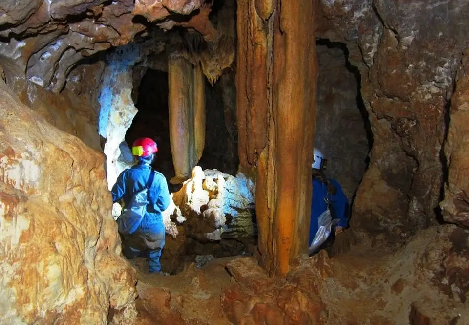
Cueva de las Majadillas (Sacecorbo): the caving school
Sacecorbo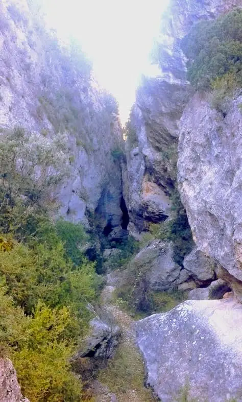
Barranco de la Hoz de Oter and the El Barrancazo gorge
Oter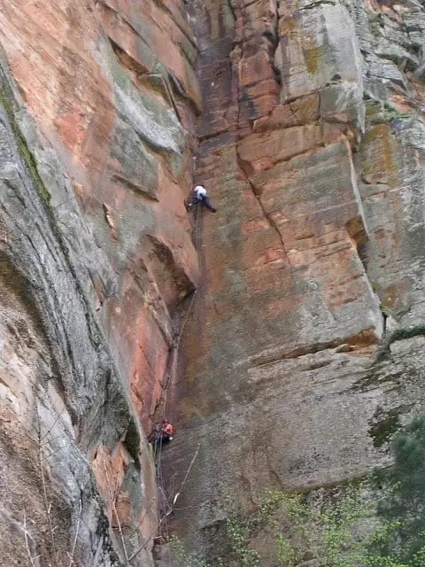
Climbing in Barranco de la Hoz
Population of Ocentejo, 1842–2021
Ocentejo reached a peak of 249 inhabitants in 1877 . In the 2021 census there were 17 , a decrease of 93%. This is the history told in the emptying of the Alto Tajo.
Climate in Ocentejo month by month
2015–2024 averages from Copernicus ERA5 reanalysis for an altitude of approx. 859 m. Useful for planning, not a substitute for live forecasts.
Location
● Reference point · ● Villages · ● Places
Location diagram. Detailed map with tracks and names loads on zoom.
Reference villages: Oter · Canales del Ducado · Valtablado del Río · Sacecorbo.
Open the full map and historical layers →