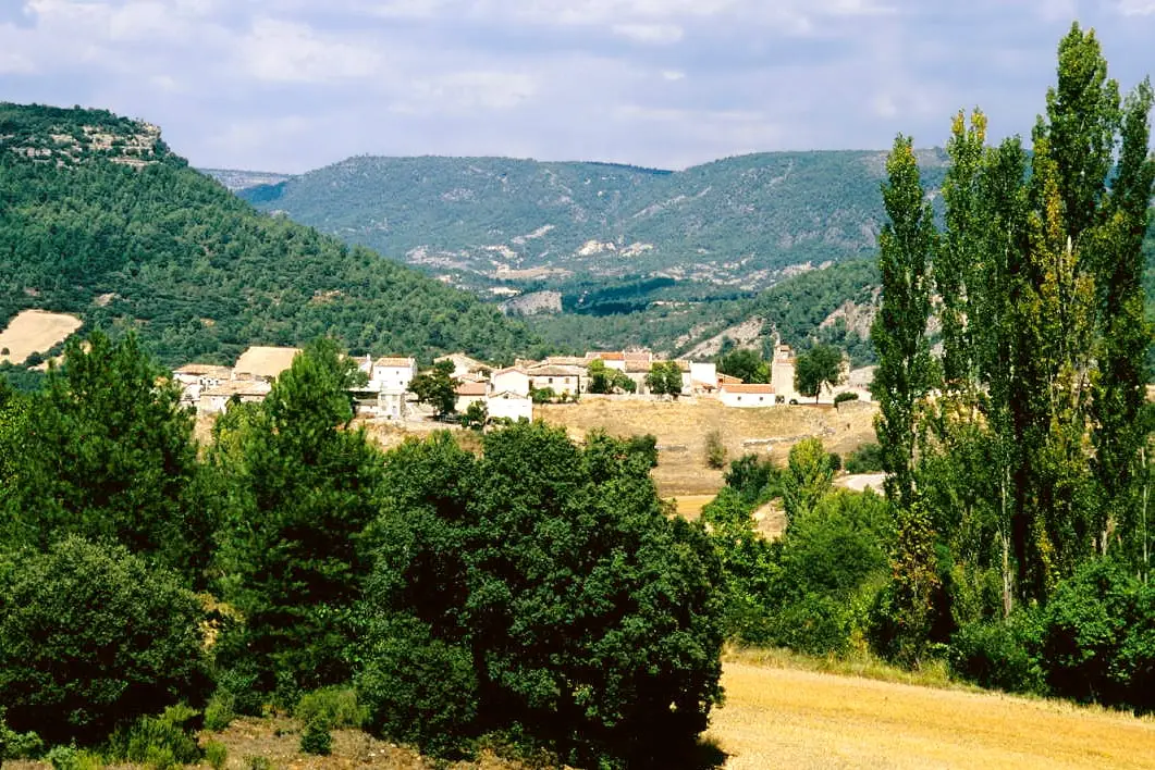
Ethnography · Ocentejo
Batán Mill (Ocentejo) and the bridge blown up by the French
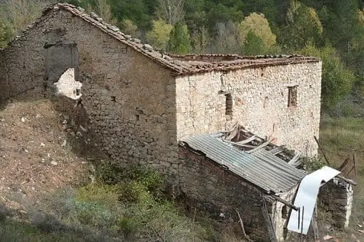
The Batán Mill, beside the Tagus in Ocentejo, is a traditional watermill that once supplied electricity to the village, now restored as a home. Beside it are the remains of a stone bridge, possibly Roman, blown up by Napoleonic troops, cutting the only river crossing between Ocentejo and Armallones.
Lands and landscapes
From here, follow the memory of the territory
These readings connect Batán Mill (Ocentejo) and the bridge blown up by the French with the history, work, and villages around it.
This place across time
Which eras you can read here
A single place can preserve traces from different eras. These layers connect what you see with the stories in the atlas.
- Municipality
- Ocentejo
- Province
- Guadalajara
- Altitude
- 801 m
- Restored
- Village electricity
- Bridge blown up by Napoleon
- Tall water tower
From watermill to generator
This traditional building once supplied electricity to Ocentejo. It features a tall cylindrical water tower (cubo), typical of mountain mills designed to work with low water volumes dropped from a height, fed by a side stream.
A bridge that is no more
Beside the mill lie the ruins of a stone bridge, possibly of Roman origin since a paved road ran nearby. Napoleonic troops blew it up, severing the only crossing between Ocentejo and Armallones.
Today it is a private home: please view it from the outside. Located in Ocentejo.
Location
● Reference point · ● Villages · ● Places
Location diagram. Detailed map with tracks and names loads on zoom.
Reference villages: Ocentejo · Valtablado del Río · Oter · Canales del Ducado.
Open the full map and historical layers →More ethnography: huts, mills and trades nearby
View all →
Nearby routes
All routes →
Trail 1 · Geotrail 1: from Ocentejo to Hundido de Armallones
3 km · 1.5 h · Linear
Trail 2: Senda del Castillo of Valtablado del Río
8.9 km · 5 h · Circular