Canyon · Armallones, Ocentejo
Hundido de Armallones: the rock collapse that dammed the Tagus
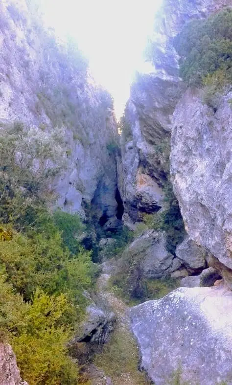
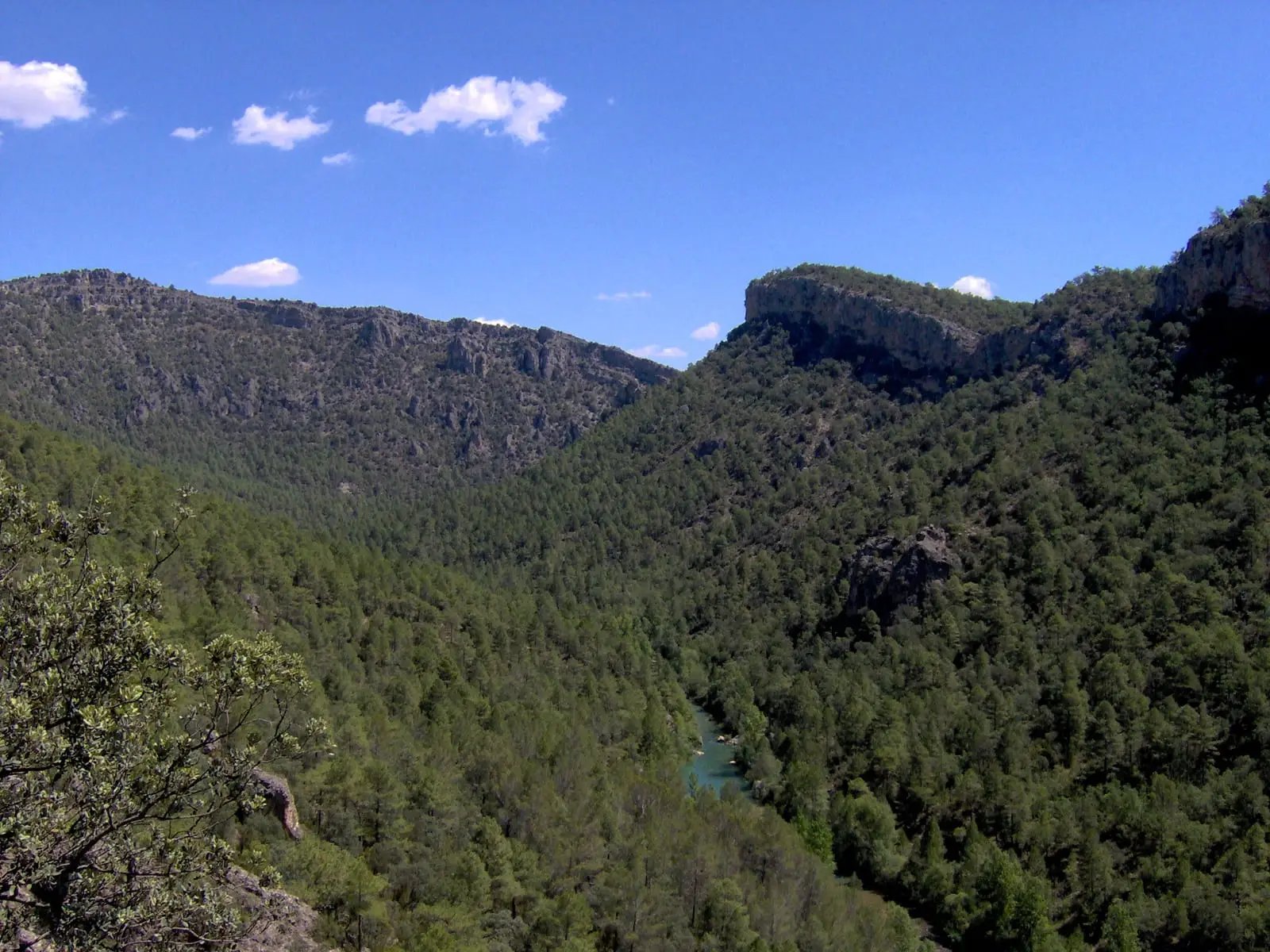
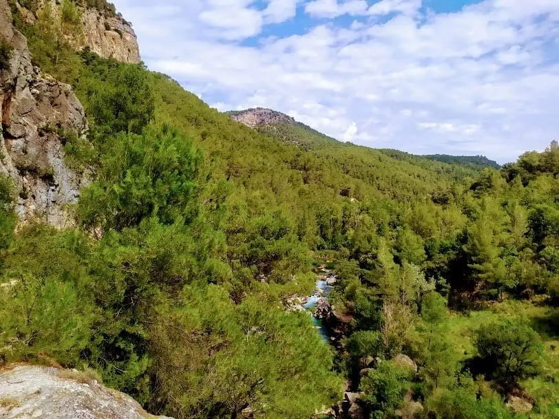
The Hundido de Armallones is one of the most dramatic stretches of the Tagus canyon, between Armallones and Ocentejo. Named after a massive 16th-century rockfall that dammed the river: in 1578 Ocentejo petitioned Philip II for relief. Today it is a vertical limestone gorge with an overturned fold and a major community of cliff-nesting raptors.
Rivers and basins
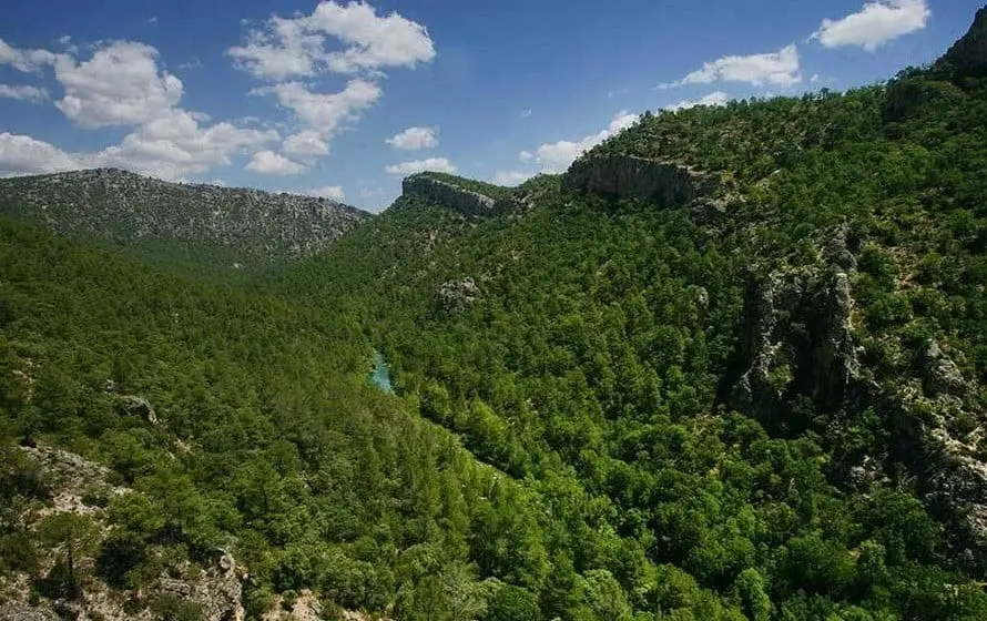
The thread of water from Hundido de Armallones: the rock collapse that dammed the Tagus
Follow these watercourses towards their confluences, villages, and basin history.
Lands and landscapes
From here, follow the memory of the territory
These readings connect Hundido de Armallones: the rock collapse that dammed the Tagus with the history, work, and villages around it.
This place across time
Which eras you can read here
A single place can preserve traces from different eras. These layers connect what you see with the stories in the atlas.
- Best season
- Spring and autumn
- Municipality
- Armallones
- Province
- Guadalajara
- Altitude
- 848 m
- Tagus canyon
- 16th-century rockfall
- Recumbent fold
- Cliff raptors
- Georoute
A river forced to carve its way twice
The Tagus has sculpted here an imposing canyon of vertical limestone walls in which millions of years of geological history are displayed layer by layer. At its southern terminus, the rock beds fold back upon themselves into a massive recumbent fold (pliegue tumbado), one of the most photographed geological formations in the Geopark.
Yet the event that gave the site its name occurred in recent historical times. In the 16th century, a huge mass of the canyon rim collapsed, thundering down the slope into the valley floor and damming the Tagus River. The exact date is unrecorded, but archives preserve the formal petition sent in 1578 to King Philip II by the villagers of Ocentejo seeking royal aid for flood damage caused by the damming. Giant fallen boulders still line the riverbed today as the river gradually cut a new path through them.
Haven for wildlife and flora
The canyon functions as an ecological corridor and climatic refuge: Mediterranean, Euro-Siberian, and Ibero-North African plant species intermingle here, some persisting as relict populations sheltered by the gorge microclimate.
The cliffs are home to cliff-nesting raptors: Bonelli’s eagle, Egyptian vulture, griffon vulture, and peregrine falcon. Northern goshawks and Eurasian sparrowhawks hunt within the woodland, while roe deer and red deer roam the valley slopes.
The excursion
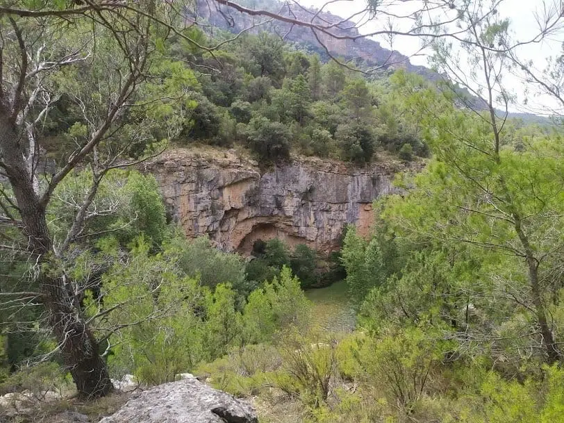
A walking track enters the canyon: offering first expansive aerial vistas of the gorge before descending directly to the riverbank. This is the classic hiking itinerary, following the georoute from Ocentejo to Hundido de Armallones.
Planning your visit
Structure your outing around Sendero 1 from Ocentejo. Determine your outward and return distances before venturing deep into the canyon.
Before visiting
Do not expect to reach the river by car. Review trail and access notices, bring water, and allow adequate daylight for the return; after rains, avoid areas prone to rockfalls or river spates.
Combining visits
Continue your exploration in Ocentejo. Consult its entry to plan your day.
Photo: El Observario
Frequently asked questions
Why is it called Hundido de Armallones?
Because of a massive rockfall in the 16th century that plunged down the slopes into the Tagus bed some 200 metres below, temporarily damming the river.
How is it visited?
On foot along a track descending into the canyon from above down to the riverside. It forms part of the georoute linking Ocentejo to the Hundido.
Location
● Reference point · ● Villages · ● Places
Location diagram. Detailed map with tracks and names loads on zoom.
Reference villages: Ocentejo · Oter · Canales del Ducado · Valtablado del Río.
Open the full map and historical layers →