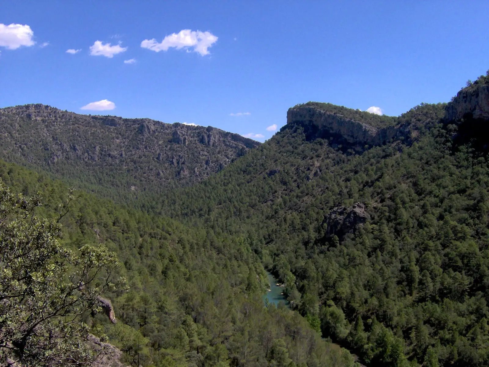
Museum · Ocentejo
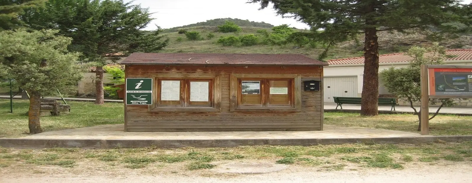
Ocentejo information point
The Ocentejo tourist information point is on the road entering the village, with parking opposite. It generally opens all day Saturday and Sunday mornings on summer weekends, offering guidance on visits and trails like the Hundido de Armallones route.
Lands and landscapes
From here, follow the memory of the territory
These readings connect Ocentejo information point with the history, work, and villages around it.
- Municipality
- Ocentejo
- Province
- Guadalajara
- Summer weekends
- Parking
- Trail information
To start from here
Staff can provide details on local points of interest and trails, especially the Hundido de Armallones. If visiting out of season when it is closed, local villagers are usually happy to help point the way.
Opening hours may vary: check locally before relying on it. More information in Ocentejo.
Location
● Reference point · ● Villages · ● Places
Location diagram. Detailed map with tracks and names loads on zoom.
Approximate position: village centre.
Reference villages: Ocentejo · Oter · Canales del Ducado · Valtablado del Río.
Open the full map and historical layers →