Archaeological site · Herreria
Celtiberian hillfort of El Ceremeño (Herrería)
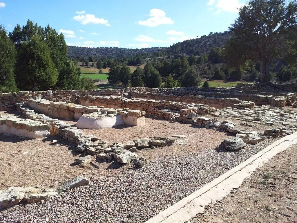
El Ceremeño is a small Celtiberian hillfort on an isolated hill at 1,067 metres in Herrería, commanding the valley of the Saúco stream, a tributary of the Gallo. It preserves two clearly superimposed settlements: the first, from the 6th century BC, ended in fire; a second was built above it until its abandonment in the 4th century BC. A small museum is in the village.
This place across time
Which eras you can read here
A single place can preserve traces from different eras. These layers connect what you see with the stories in the atlas.
- Municipality
- Herreria
- Province
- Guadalajara
- Altitude
- 1,082 m
- 6th-4th centuries BC
- Two superimposed settlements
- One of two visitable hillforts
- Museum in Herrería
Two settlements, one above the other
What makes El Ceremeño exceptional is the clear legibility of two successive occupations. The earliest settlement, from the 6th century BC, was destroyed by an extensive fire. Over its ruins, a second settlement was constructed that lasted until the 4th century BC. Surviving structures include both defensive walls and domestic dwellings.
A strategic position
It sits on an isolated residual hill (cerro testigo) at 1,067 metres altitude that commands the valley of Arroyo Saúco, which drains into the Gallo River.
A hillfort prepared for visits
Together with Peña Moñuz, El Ceremeño is the only Celtiberian hillfort in the Señorío that is properly prepared for visitors; the remaining archaeological sites in the region are not conditioned for public visits. In the Museo El Ceremeño, located in the Town Hall of Herrería, visitors can examine a scale model of the settlement and original artifacts recovered during excavations.
Location
● Reference point · ● Villages · ● Places
Location diagram. Detailed map with tracks and names loads on zoom.
Reference villages: Herreria · Canales de Molina · Rillo de Gallo · Corduente.
Open the full map and historical layers →