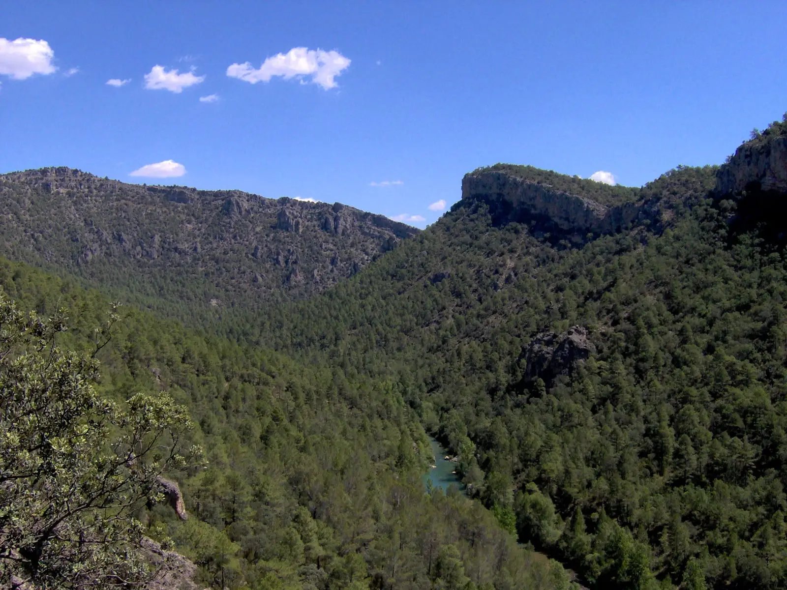
Cave · Sacecorbo
Cueva de las Majadillas (Sacecorbo): the caving school
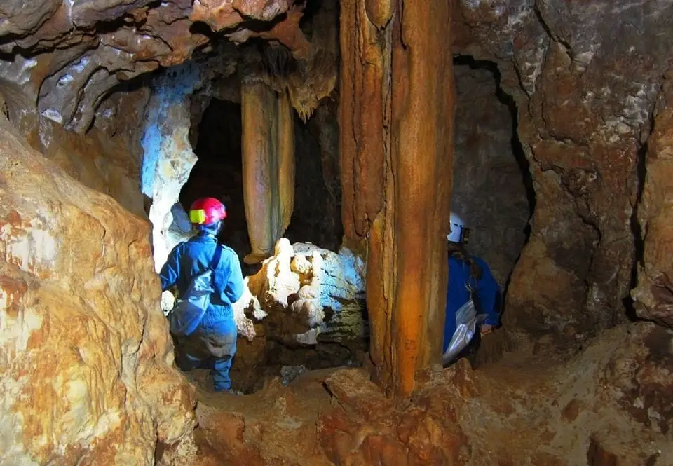
The cave of Las Majadillas, in Sacecorbo, has about 2,070 metres of development and is one of the largest in Guadalajara. Except for an entrance shaft of about eight metres, which requires a rope or ladder, it is completely horizontal, so for decades it has been a cradle and school for cavers from Castile and Madrid.
- Municipality
- Sacecorbo
- Province
- Guadalajara
- Altitude
- 1,140 m
- 2,070 m
- 8 m shaft
- Caving school
- Horizontal
To start underground
The cave is almost entirely horizontal and very rewarding, which is why it has served for decades as a school for underground progression. The only obstacle is the entrance shaft, about eight metres deep, which must be rigged with a rope or ladder.
One of Guadalajara’s biggest
With more than two kilometres of galleries, it is among the largest caves in the province. It is in Sacecorbo.
Safety
It is not a cave fitted out for tourism. It should only be explored with caving experience, proper equipment, and in company, always leaving word of your route. Respect the bats: do not enter during breeding or hibernation periods.
Location
● Reference point · ● Villages · ● Places
Location diagram. Detailed map with tracks and names loads on zoom.
Reference villages: Sacecorbo · Canales del Ducado · Ocentejo · Esplegares.
Open the full map and historical layers →