Village · Guadalajara · 1,065 m
Canales del Ducado
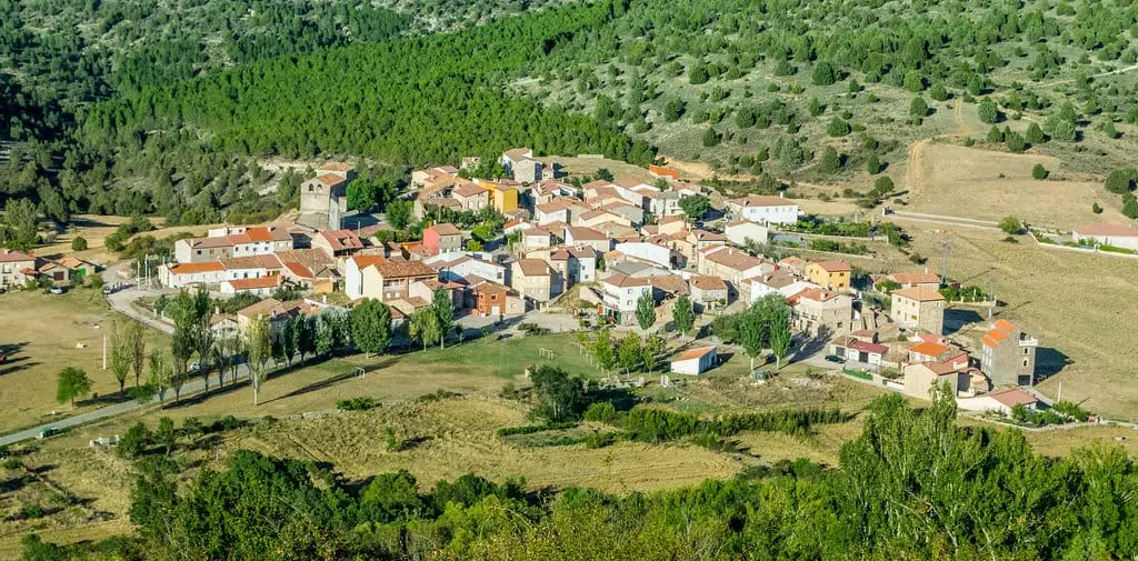
Canales del Ducado is a small village in the Alto Tajo at about 1,060 metres, near Ocentejo and Sacecorbo. From here a path descends to the gorge of the Ablanquejo river, one of the rugged corners of the Park.
What to do
The gorge of the Ablanquejo river, reached from the village via narrow footpaths and rugged terrain.
Nearby
Ocentejo and the Hundido de Armallones, and Sacecorbo, with the cave of Las Majadillas.
Near Canales del Ducado
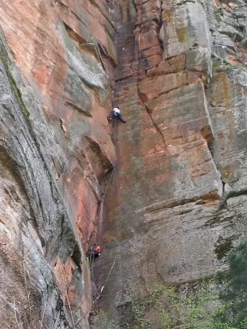
Climbing in Barranco de la Hoz
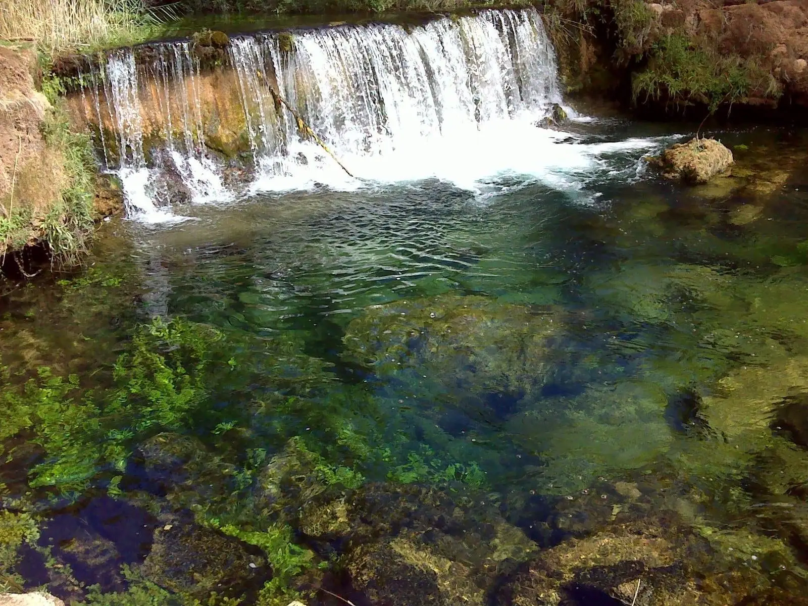
Hoz del Río Ablanquejo: a wild, pathless canyon
Ablanque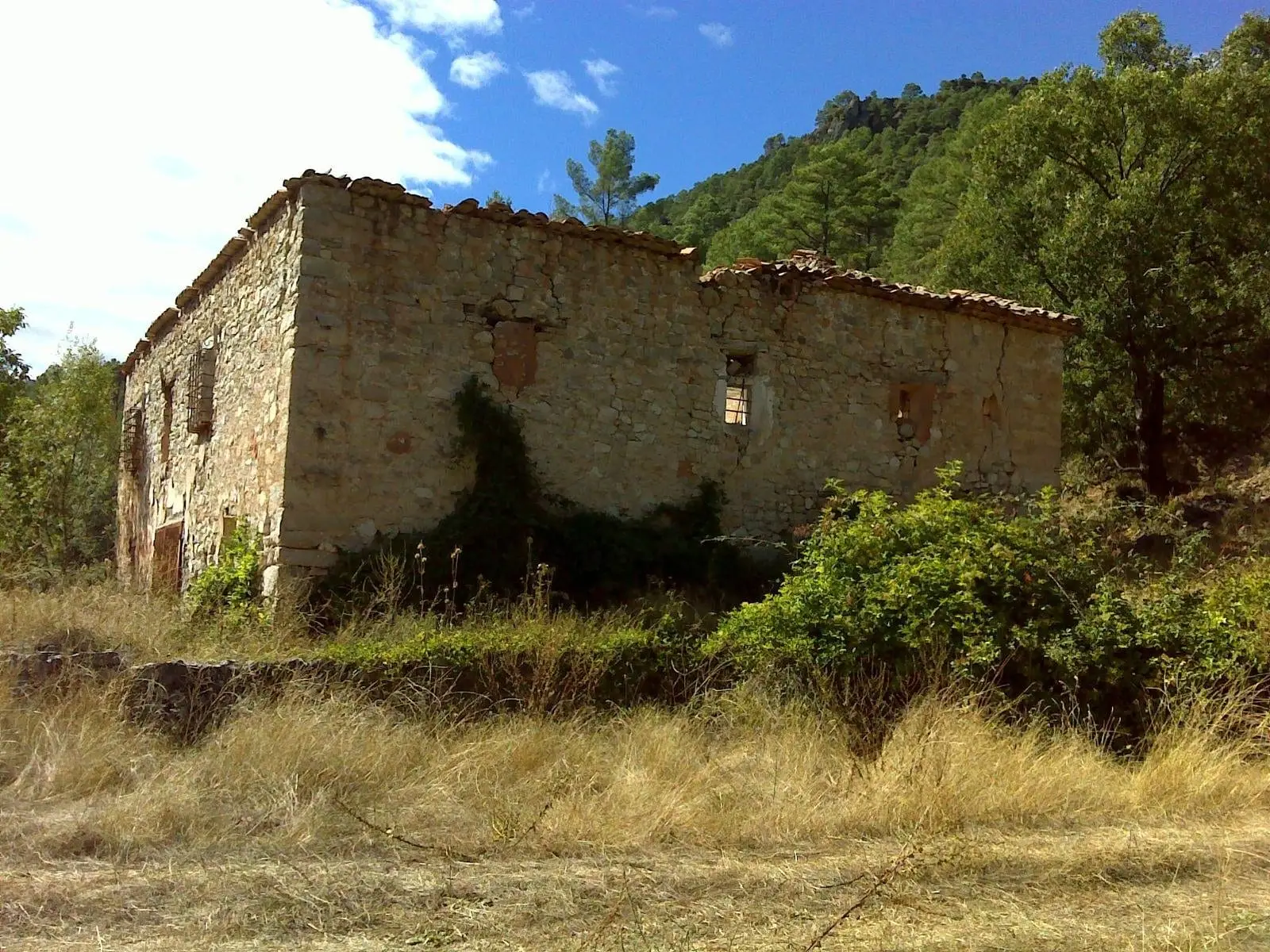
La Inesperada saltworks (Ocentejo)
Ocentejo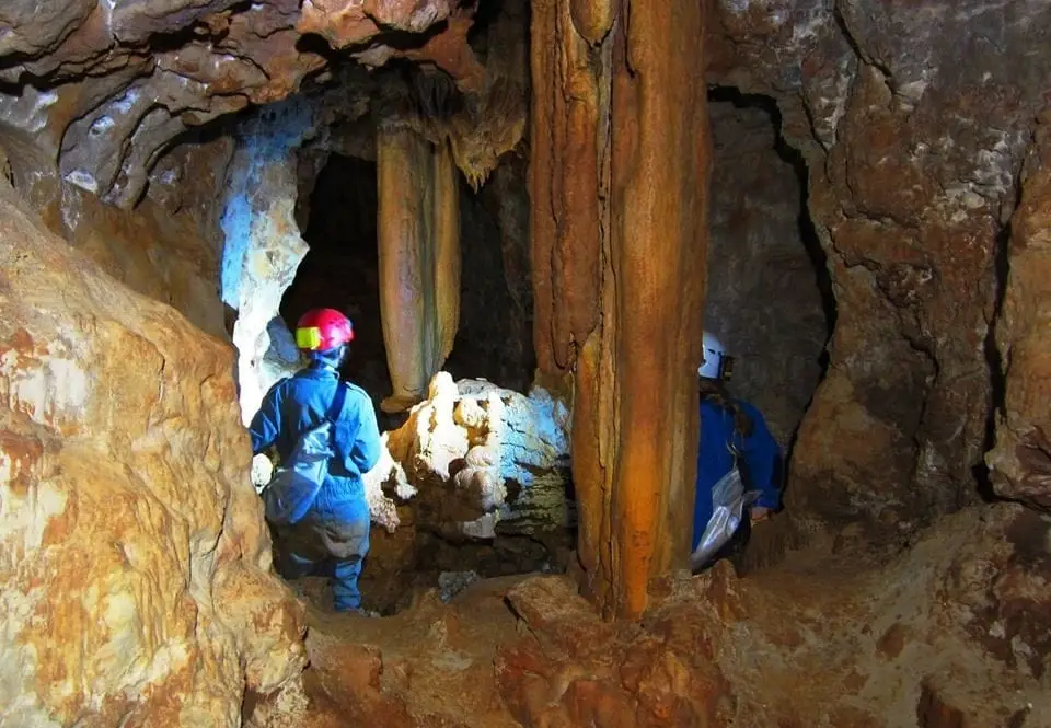
Cueva de las Majadillas (Sacecorbo): the caving school
Sacecorbo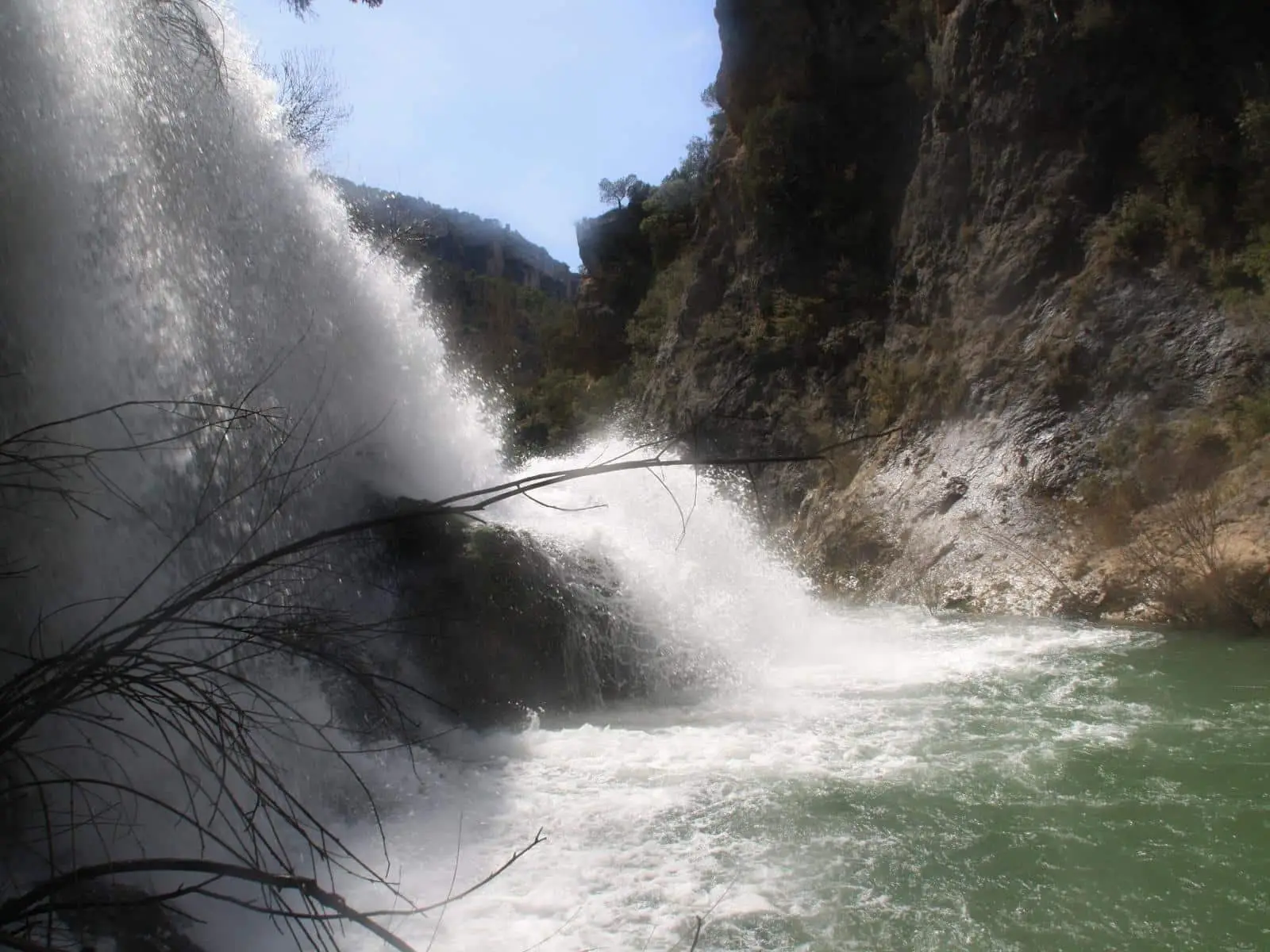
Los Ojos de la Cárquima: the hidden Tagus waterfall
ArmallonesPico Alar: balcony over the Hundido de Armallones
Ocentejo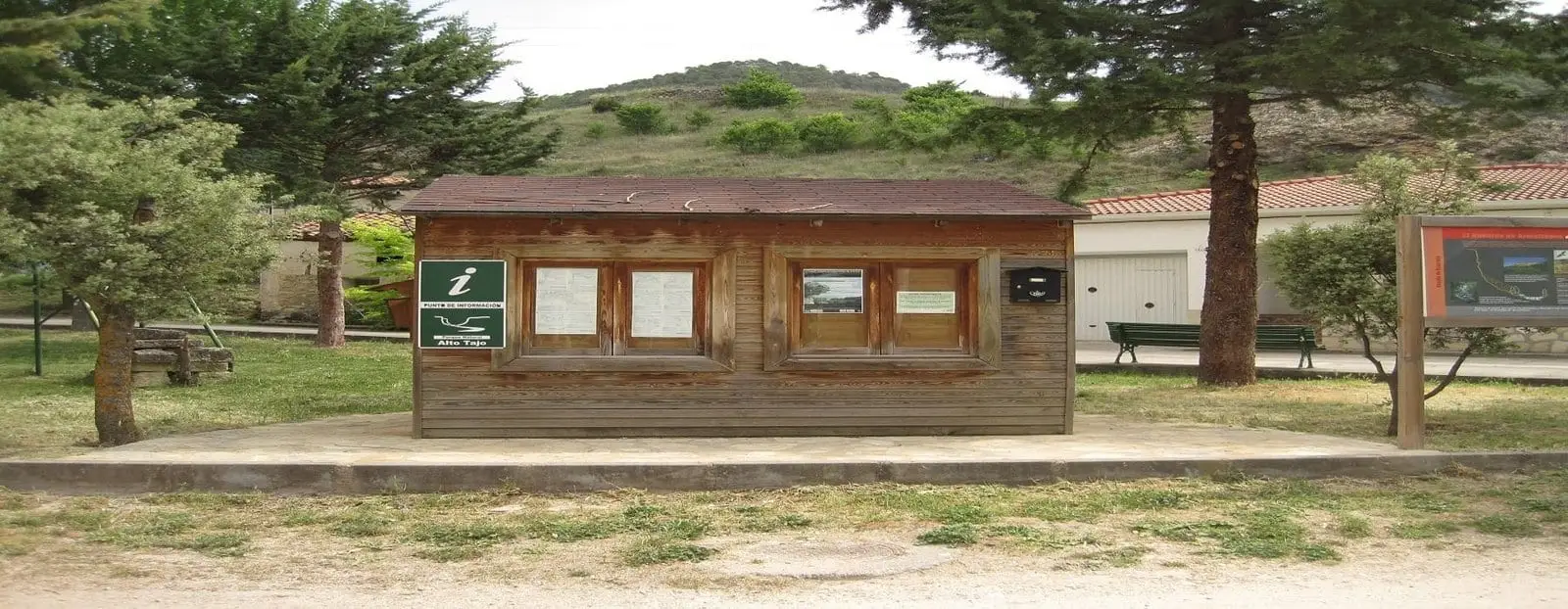
Ocentejo information point
OcentejoLos Ceños recreation area (Ocentejo)
OcentejoPopulation of Canales del Ducado, 1842–1970
Canales del Ducado reached a peak of 267 inhabitants in 1877 ; in 1970 it had 68, before merging into the municipality of Sacecorbo. This is the history told in the emptying of the Alto Tajo.
Climate in Canales del Ducado month by month
2015–2024 averages from Copernicus ERA5 reanalysis for an altitude of approx. 1,065 m. Useful for planning, not a substitute for live forecasts.
Location
● Reference point · ● Villages · ● Places
Location diagram. Detailed map with tracks and names loads on zoom.
Reference villages: Sacecorbo · Ocentejo · Esplegares · Huertahernando.
Open the full map and historical layers →