Village · Guadalajara · 1,159 m
Esplegares
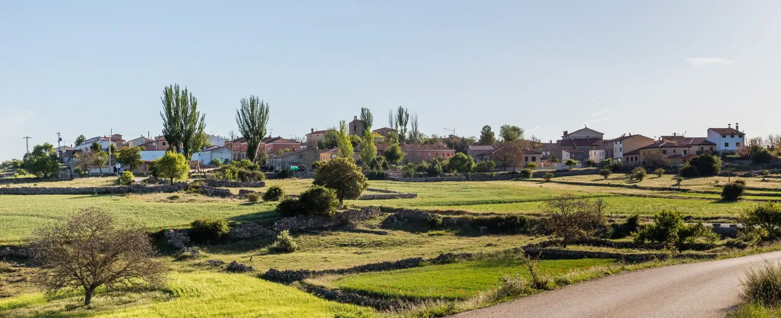
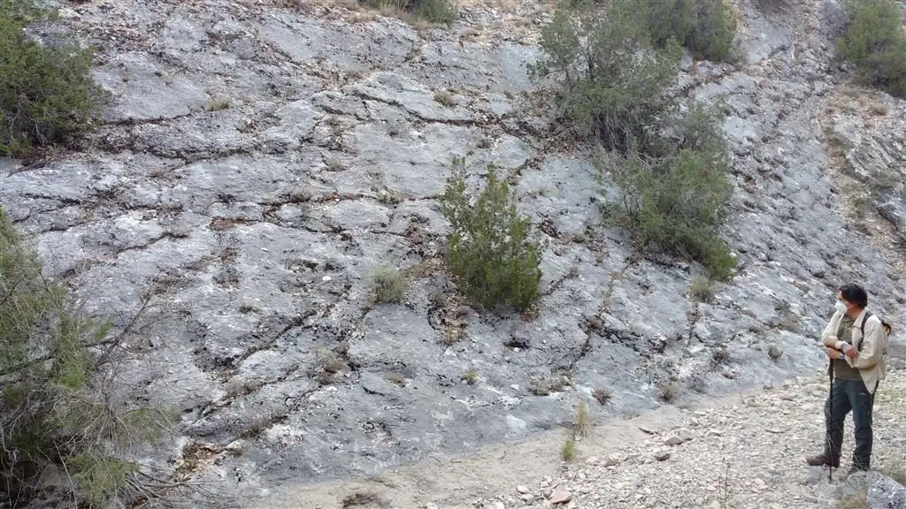
Esplegares, at about 1,160 metres between the Alto Tajo and the parameras, takes its name from the lavender that grows across its territory alongside thyme, rosemary and juniper. Jurassic ray traces, the oldest of their kind in Spain, surface in its ravines. The southern territory is Scots pine forest. In 1938 it was bombed and burned.
Traces in the village and its surroundings
Which eras you can read here
A single place can preserve traces from different eras. These layers connect what you see with the stories in the atlas.
What to see in Esplegares
- The fossil ray tracks from the Lower Jurassic, in the Pozón and Buey ravines.
- The church of La Asunción, with a Romanesque baptismal font.
- The hermitage of Santa Catalina, host to an annual pilgrimage, and the ruins of Santa Quiteria.
- The Pozo Beber well, traditionally of Arab origin, restored in the late 19th century.
Land of lavender
The village takes its name from the wild lavender (espliego) that covers its territory, amid scrub of thyme, rosemary, and Spanish juniper. To the east, the Ablanquejo river forms the border with Huertahernando, and the southern edge, within the Alto Tajo Natural Park, is Scots pine forest.
The war
During the Battle of the Alto Tajo, on 4 April 1938, the village was heavily bombed by Francoist aviation and caught fire, according to the diary of a Catalan requeté soldier. For this front, see the Civil War.
Nearby
Places in and around Esplegares
Near Esplegares
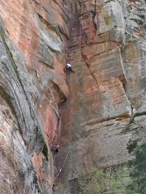
Climbing in Barranco de la Hoz
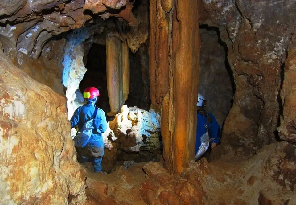
Cueva de las Majadillas (Sacecorbo): the caving school
Sacecorbo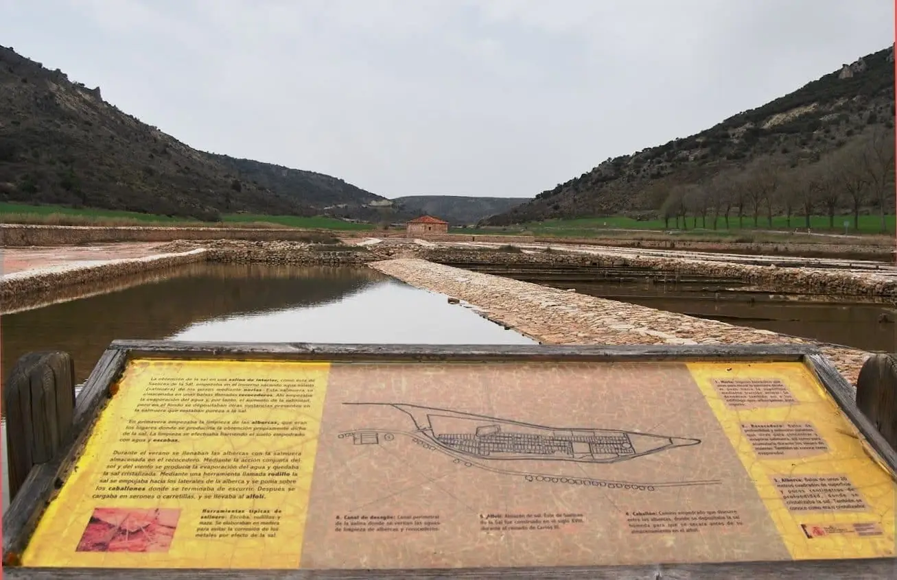
Guided visit to Saelices de la Sal saltworks
Saelices de la Sal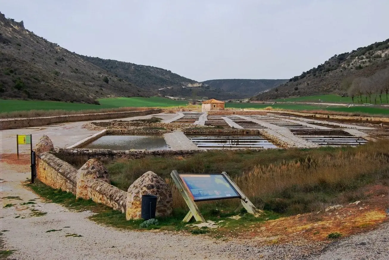
San Juan Salt Pans (Saelices de la Sal)
Saelices de la Sal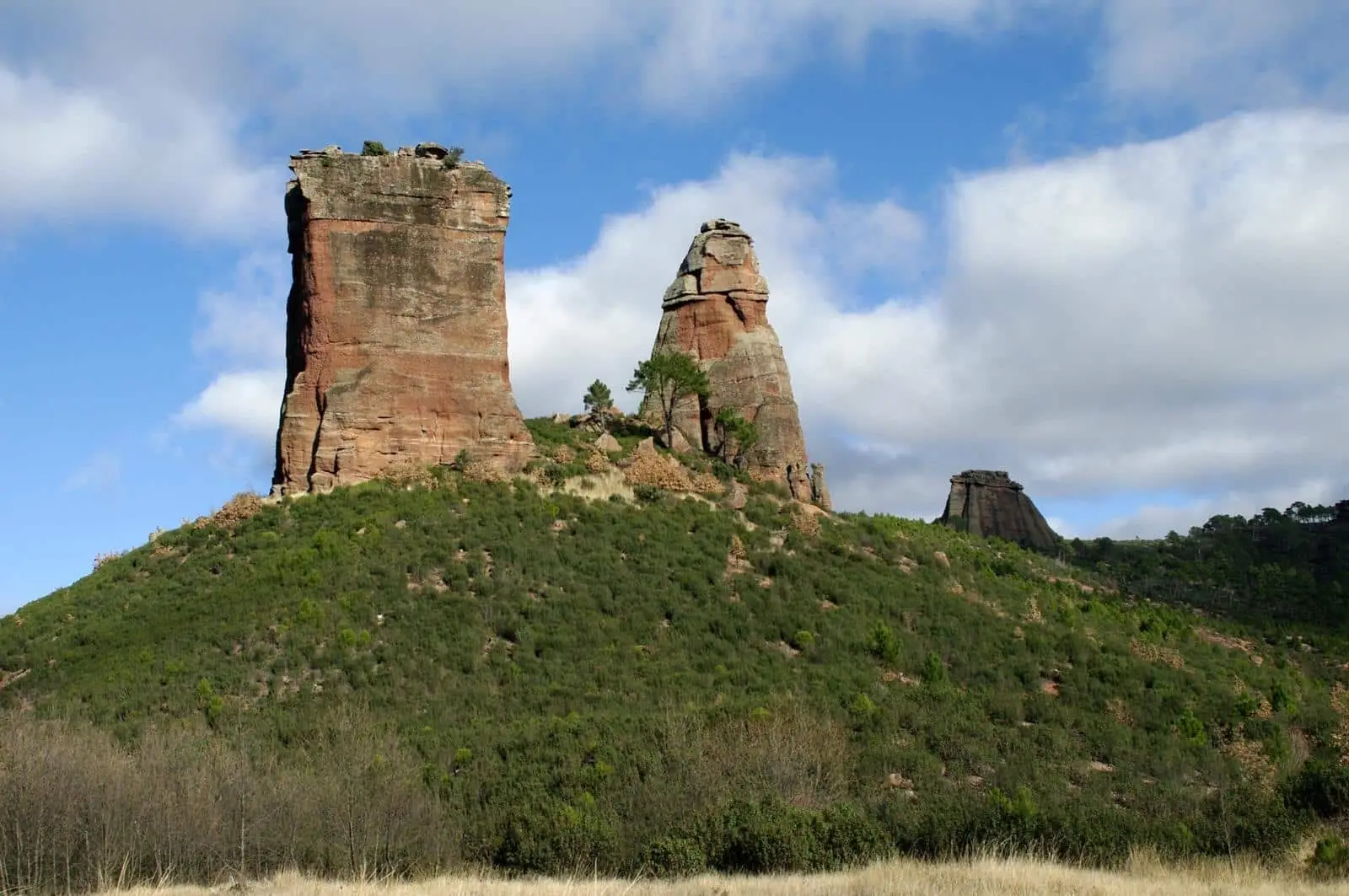
Geotrail 2: Valle de los Milagros – Saelices de la Sal
12 km · 4 h · Linear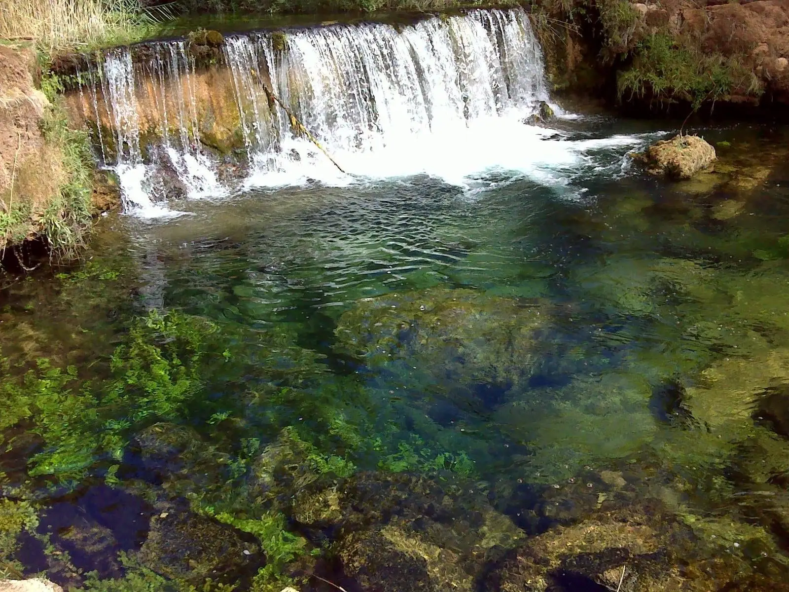
Hoz del Río Ablanquejo: a wild, pathless canyon
AblanqueSaelices de la Sal Pillbox: memory of the Spanish Civil War
Saelices de la Sal
La Inesperada saltworks (Ocentejo)
OcentejoPopulation of Esplegares, 1842–2021
Esplegares reached a peak of 468 inhabitants in 1887 . In the 2021 census there were 39 , a decrease of 92%. This is the history told in the emptying of the Alto Tajo.
Climate in Esplegares month by month
2015–2024 averages from Copernicus ERA5 reanalysis for an altitude of approx. 1,159 m. Useful for planning, not a substitute for live forecasts.
Location
● Reference point · ● Villages · ● Places
Location diagram. Detailed map with tracks and names loads on zoom.
Reference villages: Sacecorbo · Canales del Ducado · Saelices de la Sal · Huertahernando.
Open the full map and historical layers →