Place
Climbing in Barranco de la Hoz
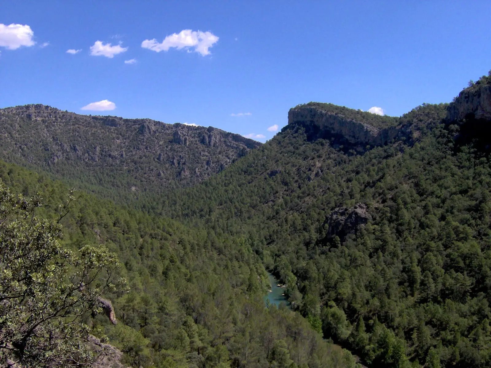
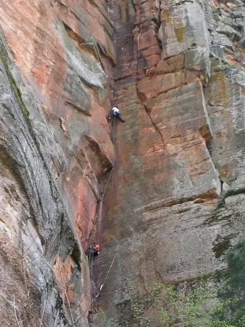
Barranco de la Hoz, next to Corduente, became popular among Madrid climbers in the 1980s for its red conglomerate and sandstone rock. Climbing is regulated across two sectors: the cliffs on the right bank for traditional climbing and roughly 15 sport routes facing Pozo del Infierno and in the upper section.
- Altitude
- 946 m
- Red conglomerate
- Traditional and sport
- Regulated
- Since the 1980s
A distinctive rock type
The red conglomerate and sandstone cliffs of Barranco de la Hoz offer a unique style of climbing within a spectacular geological setting. The earliest climbing routes were established during the 1980s by climbing groups from Madrid.
Where climbing is permitted
Under park regulations, climbing is restricted to two designated sectors: the crags along the right bank of the gorge reserved for traditional climbing, and approximately 15 sport routes located directly opposite Pozo del Infierno (right bank of the Gallo River) and in the upper canyon rim. Always verify current park regulations and seasonal temporary closures protecting nesting cliff birds before climbing.
Location
● Reference point · ● Villages · ● Places
Location diagram. Detailed map with tracks and names loads on zoom.
Reference villages: Canales del Ducado · Esplegares · Sacecorbo · Huertahernando.
Open the full map and historical layers →