Village · Guadalajara · 1,178 m
Luzón
Luzón, beside the Tajuña at about 1,180 metres, may take its name from the Lusones, a prominent Celtiberian tribe. Its territory includes the Celtiberian site of La Cava and the watchtower of Luzón. It is known for its Diablos, an ancient winter masquerade, and has a rural school museum. It fell from nearly a thousand residents in 1900 to a few dozen.
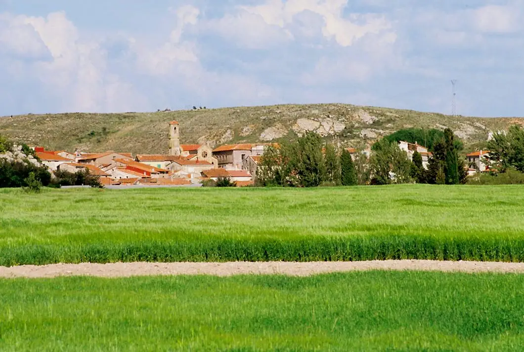
Traces in the village and its surroundings
Which eras you can read here
A single place can preserve traces from different eras. These layers connect what you see with the stories in the atlas.
1936–1939 · memory of the territory
The war in the village memory
The war also reached the work of the pine woods. Among LURE’s resin workers called up for military service were one worker from this village. Their story connects the memory of the woods with those who had to leave their trade during the conflict.
Source: Berlanga, capítulo 9, pp. 346–347.
Read the story of the river frontline →What to see in Luzón
- The Old School Museum, featuring a recreated classroom from the 1950s.
- The watchtower of Luzón or Castillo de los Moros, a ruined medieval tower about three kilometres away on the path to Anguita, part of the same defensive network as the torre de la Cigüeña.
- The Celtiberian site of La Cava, beside the track to Anguita.
- The gorges of the Tajuña, carved by the river between Anguita and Luzón.
The Lusones and the devils
Like Luzaga, the name of Luzón has been linked to the Lusones, one of the central tribes of Celtiberia, whose hillforts remain in the area. From the 12th century it belonged to the Tierra de Medinaceli. Today it is recognized for the Diablos de Luzón, a masquerade in which young men parade covered in soot and bearing large bull horns, among the oldest recorded in Spain.
Nearby
Ciruelos del Pinar, Maranchón and Anguita.
More to see
In the municipality: La Cava and the Tajuña gorges.
Places in and around Luzón
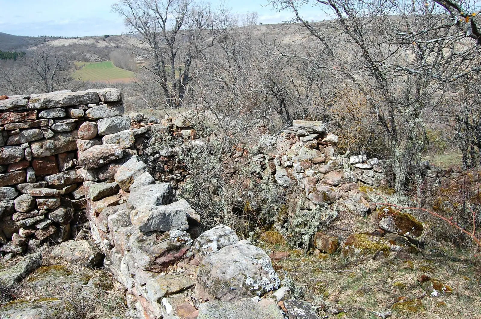
Near Luzón
Tajuña gorges: 11 km of river between Anguita and Luzón
AnguitaCouncil Pen of Ciruelos del Pinar: communal justice among neighbours
Ciruelos del Pinar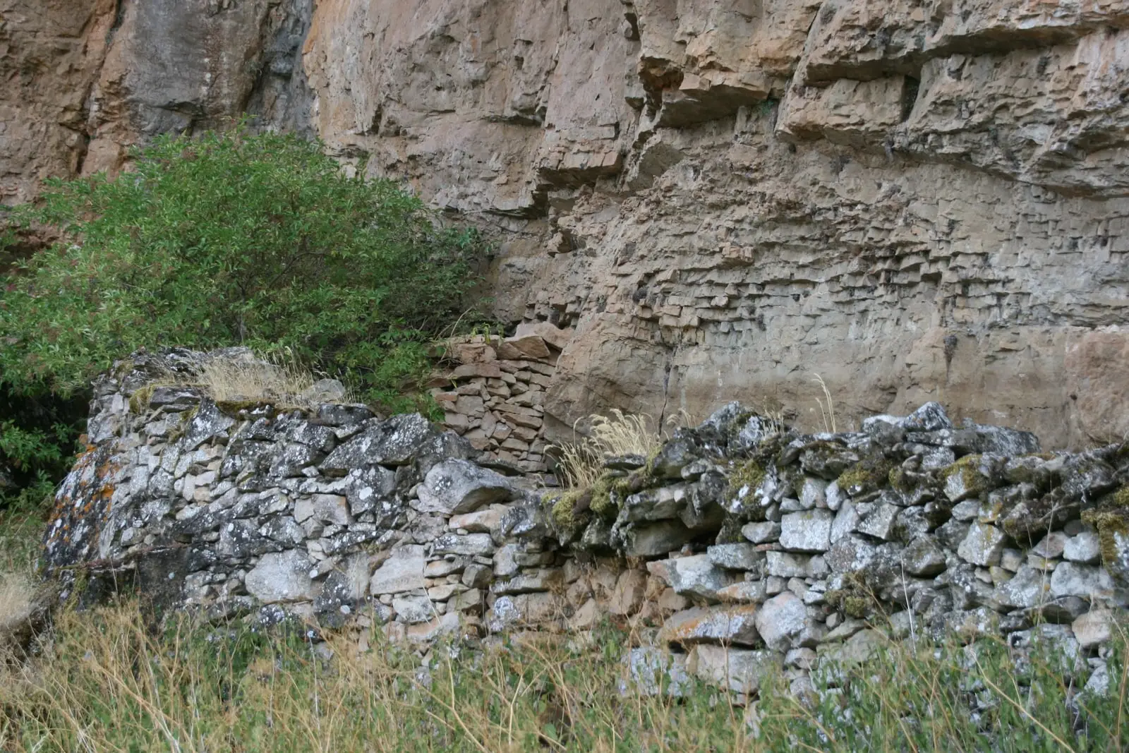
Cueva de la Hoz (Santa María del Espino): Paleolithic art of the Tajuña
Santa María del Espino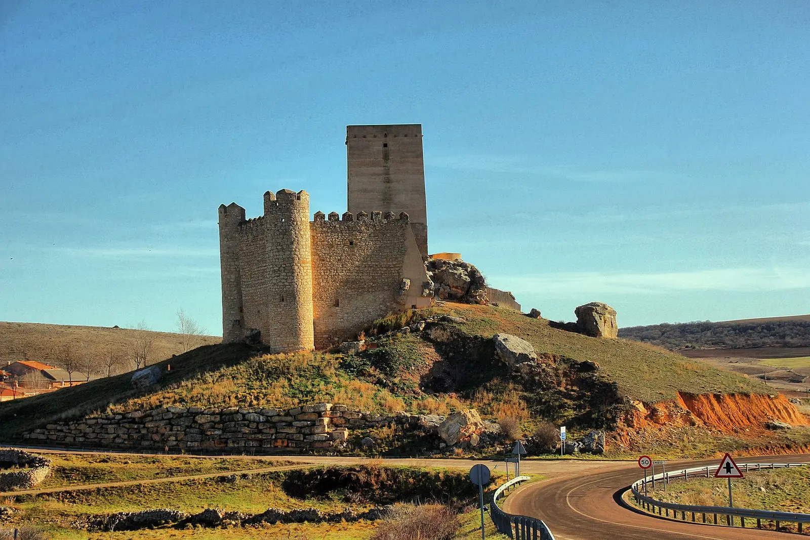
GR-168, Camino Real de Aragón, through the Sexma del Campo
58.9 km · LinearEl Mirón Paleontological Museum (Maranchón)
MaranchónCastro de Hocincavero (Anguita)
AnguitaTorre de la Cigüeña: The Watchtower Over Anguita and the Tajuña
AnguitaParameras de Maranchón, Hoz del Mesa, and Aragoncillo: land of Dupont's lark
MaranchónPopulation of Luzón, 1842–2021
Luzón reached a peak of 985 inhabitants in 1920 . In the 2021 census there were 64 , a decrease of 94%. This is the history told in the emptying of the Alto Tajo.
Climate in Luzón month by month
2015–2024 averages from Copernicus ERA5 reanalysis for an altitude of approx. 1,178 m. Useful for planning, not a substitute for live forecasts.
Location
● Reference point · ● Villages · ● Places
Location diagram. Detailed map with tracks and names loads on zoom.
Reference villages: Ciruelos del Pinar · Santa María del Espino · Maranchón · Anguita.
Open the full map and historical layers →