Archaeological site · Luzón
La Cava (Luzón): a Celtiberian town above the Tajuña
La Cava is a Celtiberian settlement of about 2.5 hectares along the trail from Anguita to Luzón, on a spur isolated by the Tajuña and a side stream. Its defensive wall follows the terrain. Dated to the Second Iron Age, around the 3rd century BC, and attributed to the Titti tribe, who lived along the upper Tajuña.
This place across time
Which eras you can read here
A single place can preserve traces from different eras. These layers connect what you see with the stories in the atlas.
- Municipality
- Luzón
- Province
- Guadalajara
- Altitude
- 1,169 m
- Iron Age
- About 2.5 hectares
- Titti tribe
- Tajuña gorges
A spur above the river
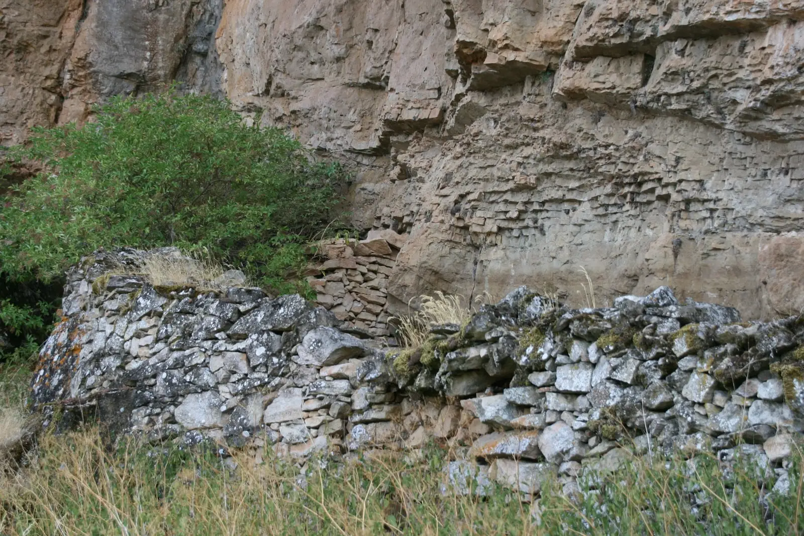
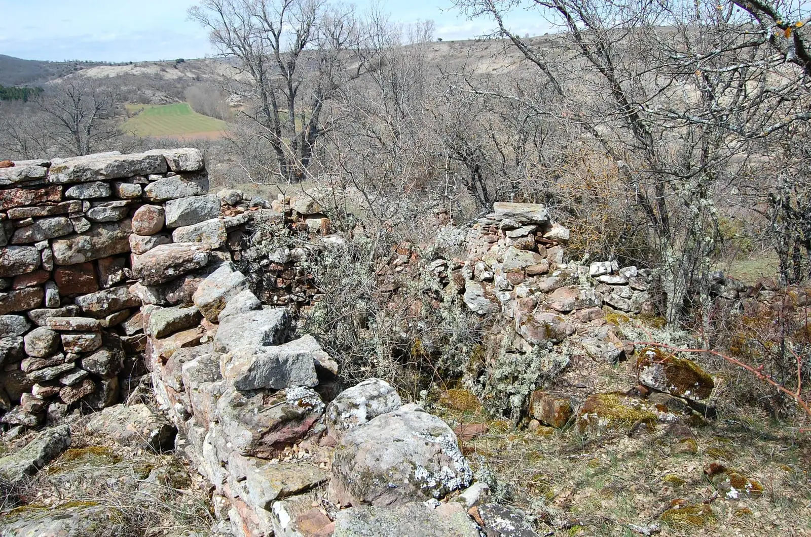
To the right of the path running from Anguita to Luzón through the Tajuña valley, a rocky spur isolated by the river and a side stream holds the remains of La Cava. It is a roughly rectangular enclosure of about 2.5 hectares, enclosed by a stone wall that takes advantage of the natural cliffs.
Who lived here
Based on recovered artifacts, the site dates to the Second Iron Age, around the 3rd century BC. It is attributed to the Titti, the Celtiberian people of the upper Tajuña. It occupied a key position: the valley is a natural route from the southern plateau to the Jalón basin and a crossroads between the Tagus, Duero, and Ebro basins.
Nearby
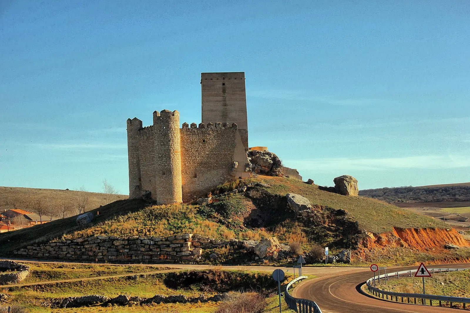
The trail passes through the Tajuña gorges. Beside La Cava stands the Luzón watchtower, a ruined medieval stone tower.
Visiting
To be clear: of all the Celtiberian sites in the Señorío, today only two are truly prepared for visitors, El Ceremeño in Herrería and Peña Moñuz in Olmeda de Cobeta. La Cava has received little preparation for the public: it is unconditioned, virtually unsigned, and what can be seen is hard to understand without help. If you visit, do not leave the paths, do not climb onto the walls, and do not pick up anything from the ground.
Location
● Reference point · ● Villages · ● Places
Location diagram. Detailed map with tracks and names loads on zoom.
Reference villages: Luzón · Anguita · Santa María del Espino · Aguilar de Anguita.
Open the full map and historical layers →More archaeological sites and rock art nearby
View all →Castro de Hocincavero (Anguita)
Anguita