Canyon · Ablanque
Hoz del Río Ablanquejo: a wild, pathless canyon
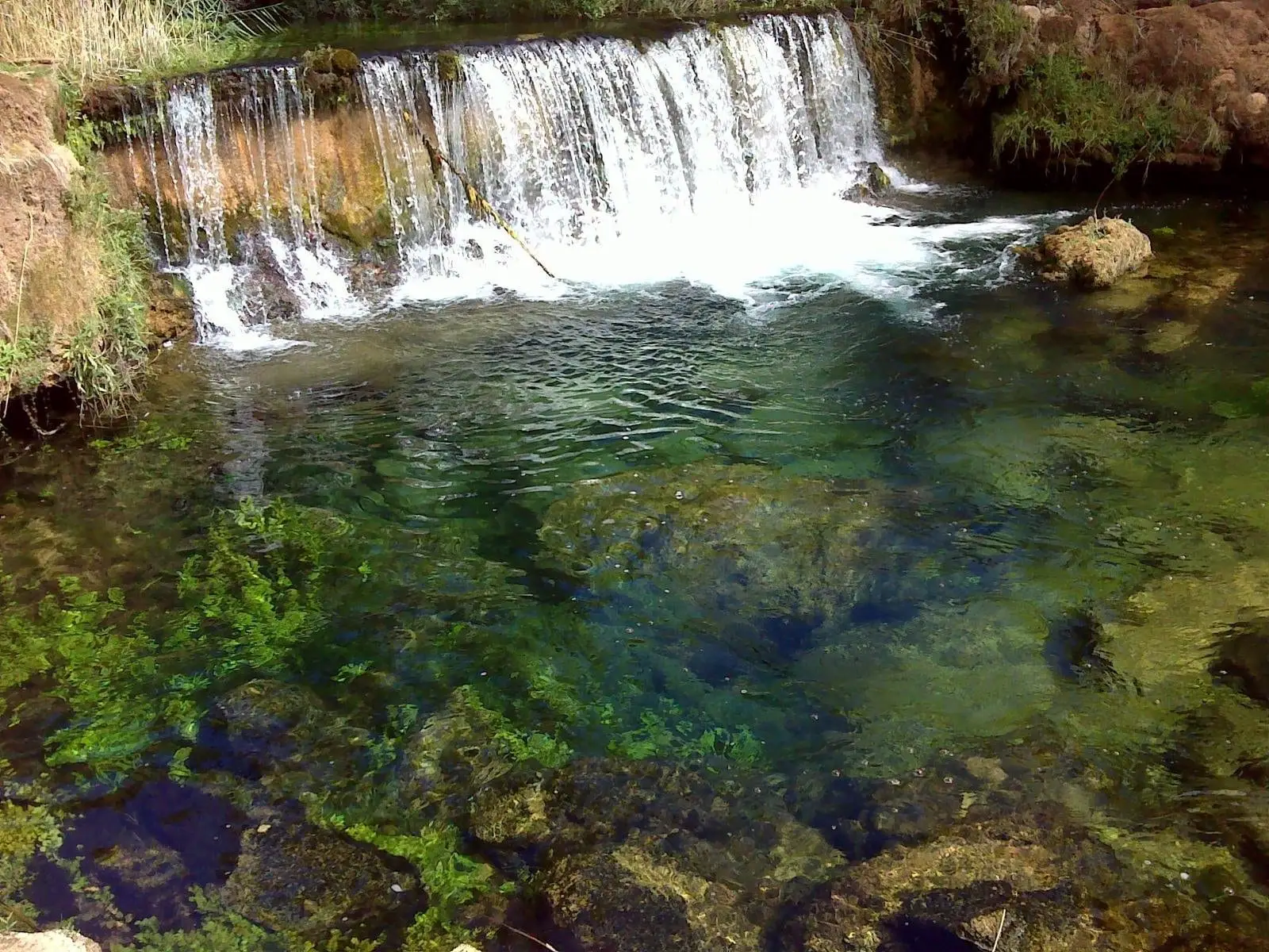
The Hoz del Ablanquejo is the rugged gorge carved by the Ablanquejo River before joining the Tagus, near the saltworks of La Inesperada. It is wild and demanding: rough terrain, dense vegetation, steep slopes, and no paths. Along the way lie old sheepfolds and ruins showing that it was once inhabited.
Rivers and basins
The thread of water from Hoz del Río Ablanquejo: a wild, pathless canyon
Follow these watercourses towards their confluences, villages, and basin history.
Lands and landscapes
From here, follow the memory of the territory
These readings connect Hoz del Río Ablanquejo: a wild, pathless canyon with the history, work, and villages around it.
- Municipality
- Ablanque
- Province
- Guadalajara
- Altitude
- 869 m
- No footpaths
- Rough terrain
- Sheepfolds
- Experienced hikers only
Where nature reclaims human traces
Ascending the Ablanquejo gorge means encountering historic sheepfolds and ruins. Until relatively recent decades these mountain slopes supported human activity; today reclaiming vegetation is steadily obscuring those traces. Along many sections of the river, dense woodland covers the valley completely.
Before you set out
There are no marked trails and the terrain is exceptionally rugged, with steep gradients. Recommended only for hikers experienced in route-finding and mountain navigation. For a gentler experience, choose the Ablanquejo river ravine route from Ablanque or visit Mirador del Cerro.
Location
● Reference point · ● Villages · ● Places
Location diagram. Detailed map with tracks and names loads on zoom.
Reference villages: Canales del Ducado · Huertahernando · Huertapelayo · Ocentejo.
Open the full map and historical layers →