Village · Guadalajara · 1,192 m
Armallones
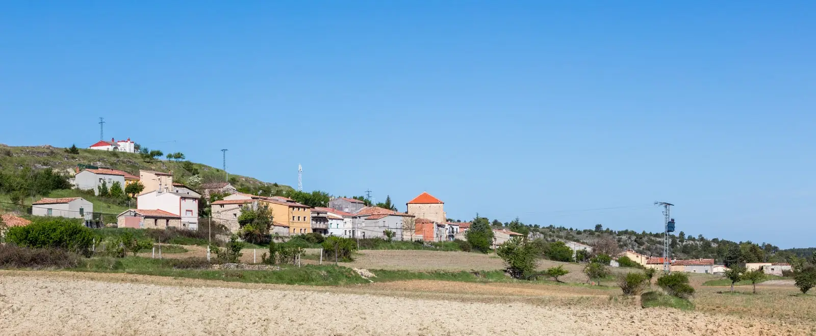
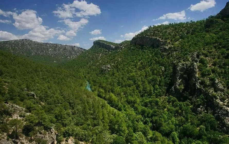
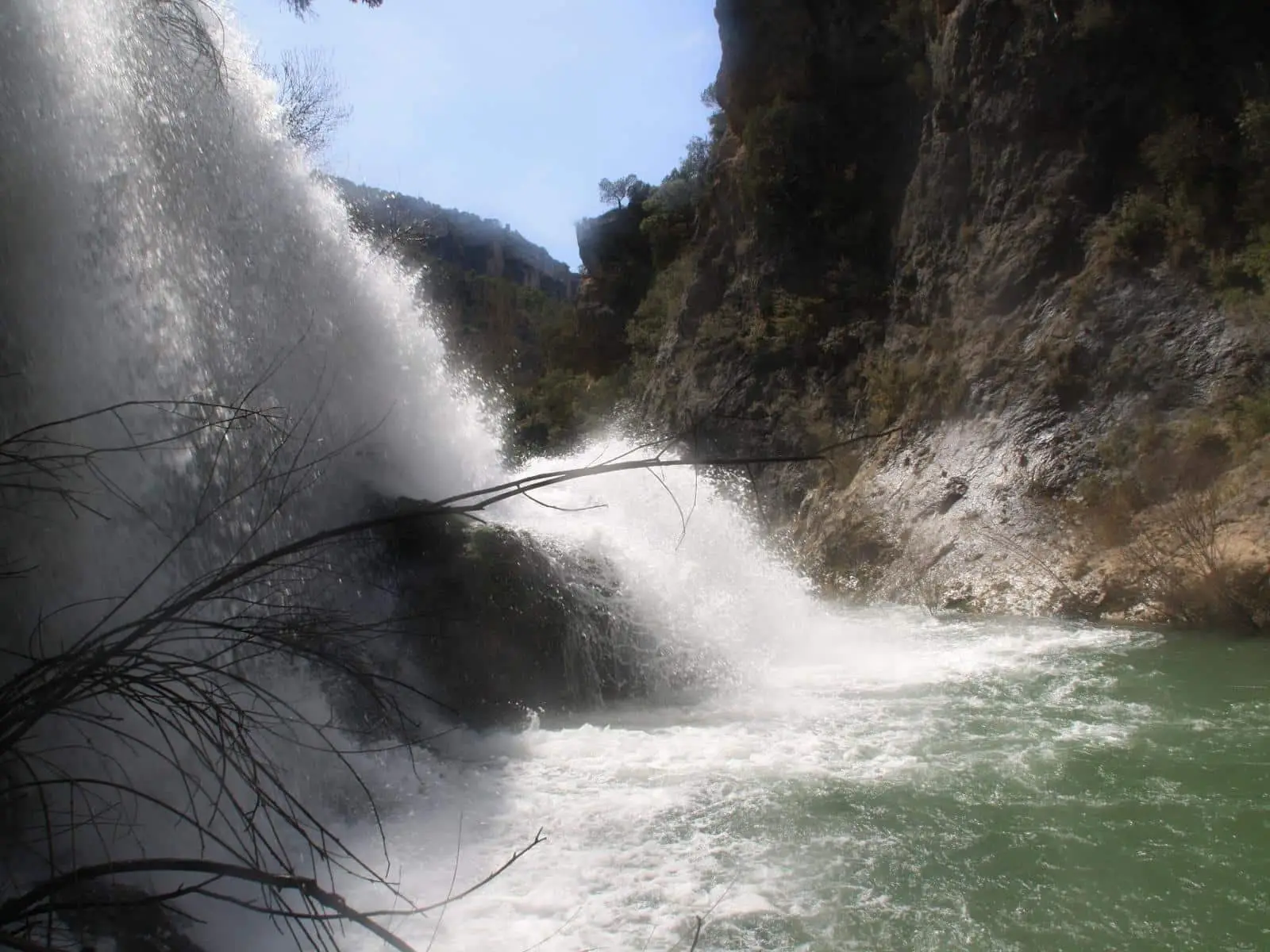
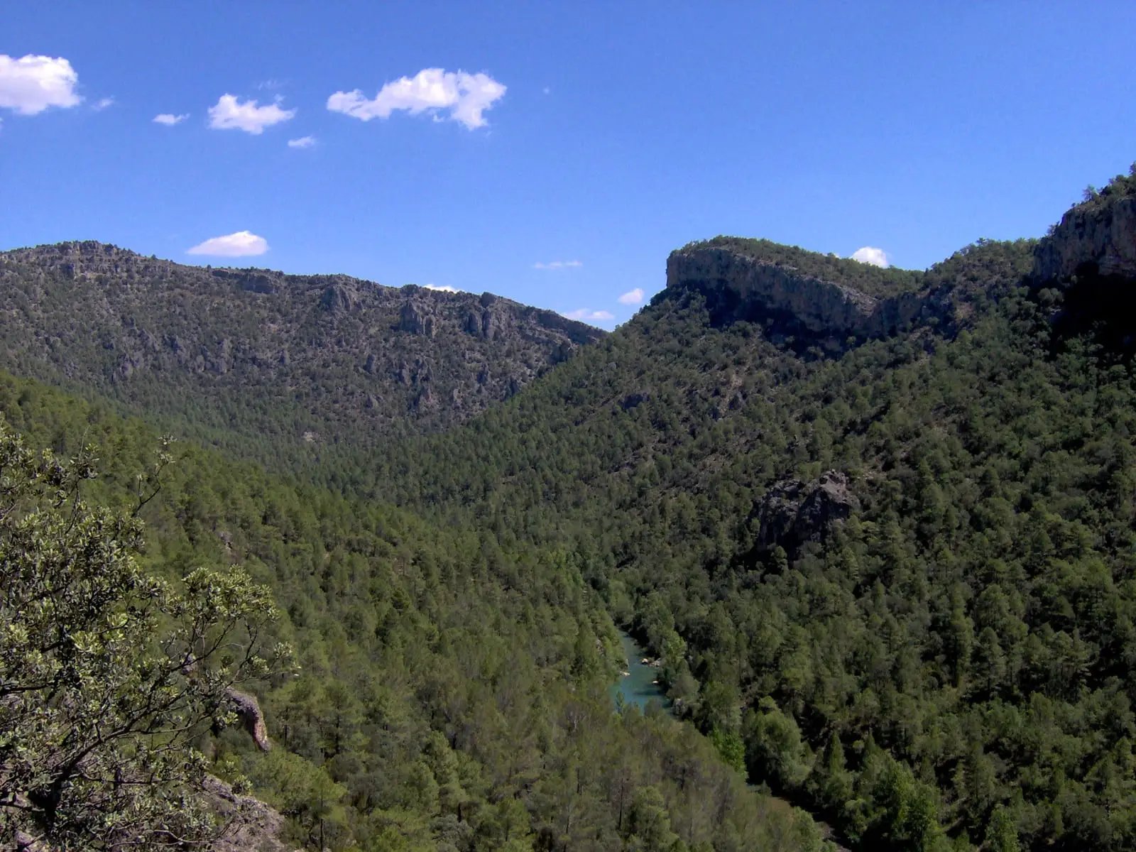
Armallones is a village in the Alto Tajo at about 1,190 metres above the Tagus canyon. Its municipality includes the Hundido de Armallones, one of the most dramatic sections of the river, where a 16th-century landslide dammed the waters, the Ojos de la Cárquima waterfall issuing from two caves, and the Fuente de la Loca shelter.
Rivers and basins
The thread of water from Armallones
Follow these watercourses towards their confluences, villages, and basin history.
Lands and landscapes
From here, follow the memory of the territory
These readings connect Armallones with the history, work, and villages around it.
Traces in the village and its surroundings
Which eras you can read here
A single place can preserve traces from different eras. These layers connect what you see with the stories in the atlas.
What to see
- Hundido de Armallones.
- Ojos de la Cárquima, visible only after heavy rains.
- Fuente de la Loca shelter, beside the river.
How to reach the river
The most common approach to the Hundido is from Ocentejo on the opposite bank, via Georuta 1. Until French troops blew it up, a bridge near the Batán mill linked both villages.
The village was also heard
Toni Ibáñez recalled in Abarca how he learned to ring the church bells at age fourteen, after the school closed in 1976. His account frames the church tower through the lives of those who sounded it: When the village was heard.
Places in and around Armallones
Routes linked to Armallones
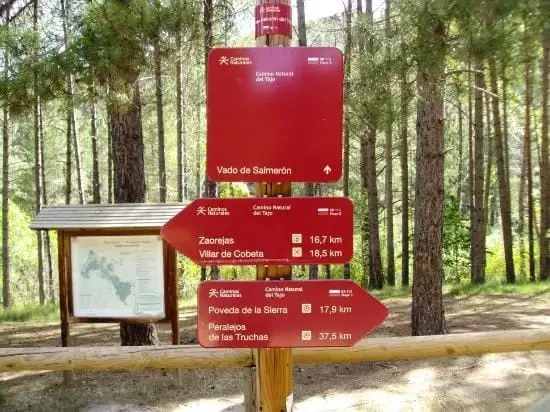
Near Armallones
Portillo Tunnel: The Road Carved by the People of Huertapelayo
Huertapelayo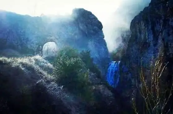
El Chorrero of Huertapelayo
Huertapelayo
Trail 6 (PR-GU 21): from Huertapelayo to the Tagus
6.5 km · 3.5 h · CircularPuente de Tagüenza: the old crossing between Huertapelayo and Huertahernando
Huertahernando, HuertapelayoTrail 7: the lime kilns of Villanueva de Alcorón
6.3 km · 2.5 h · Circular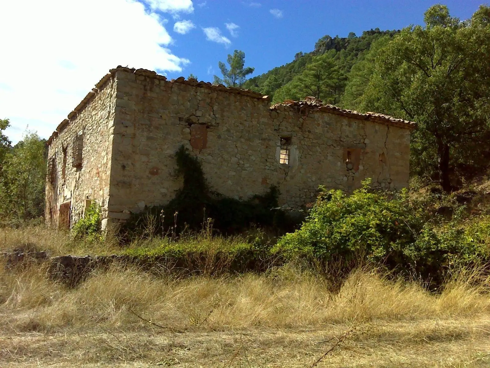
La Inesperada saltworks (Ocentejo)
Ocentejo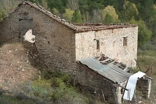
Batán Mill (Ocentejo) and the bridge blown up by the French
OcentejoPico Alar: balcony over the Hundido de Armallones
OcentejoPopulation of Armallones, 1842–2021
Armallones reached a peak of 646 inhabitants in 1910 . In the 2021 census there were 55 , a decrease of 91%. This is the history told in the emptying of the Alto Tajo.
Climate in Armallones month by month
2015–2024 averages from Copernicus ERA5 reanalysis for an altitude of approx. 1,192 m. Useful for planning, not a substitute for live forecasts.
Location
● Reference point · ● Villages · ● Places
Location diagram. Detailed map with tracks and names loads on zoom.
Reference villages: Huertapelayo · Valtablado del Río · Ocentejo · Zaorejas.
Open the full map and historical layers →