Village · Guadalajara · 1,188 m
Pardos
Pardos is a small village at about 1,190 metres in the Campo de Molina, near Torrubia, Tartanedo and Herrería. In the 19th century its holm oak and juniper woods were praised. To the southwest lie the old copper and silver mines of La Estrella, worked from the 17th century and known for azurite and malachite.
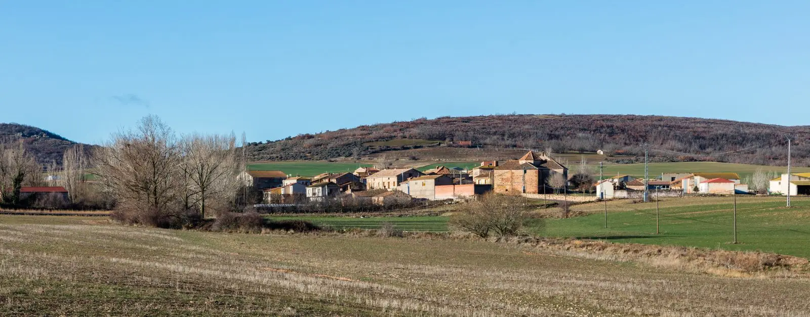
Traces in the village and its surroundings
Which eras you can read here
A single place can preserve traces from different eras. These layers connect what you see with the stories in the atlas.
What to see in Pardos
- The mines of Pardos, including the Estrella mine, worked between the 17th and mid-19th centuries and known for copper minerals.
- The holm oak, oak and juniper woodlands praised in Madoz’s geographical dictionary.
A village of El Campo
Pardos stands at about 1,190 metres, in the Campo de Molina. In the mid-19th century it had more than four hundred registered residents; today it has a few dozen.
Nearby
Torrubia, three kilometres away; Tartanedo, with its Romanesque portal; and Herrería, near the castro de El Ceremeño.
Places in and around Pardos
Near Pardos
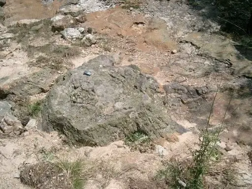
Fossil forest of Rillo de Gallo: a 300-million-year-old Pompeii
AragoncilloCasa de los Utrera: the Baroque palace of Tartanedo
Tartanedo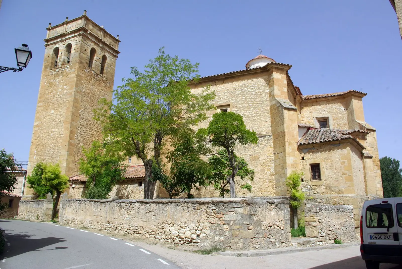
Church of San Bartolomé (Tartanedo): Romanesque portal with carved beasts
Tartanedo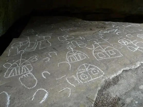
Peña Escrita (Canales de Molina): rock engravings with human figures
Canales de Molina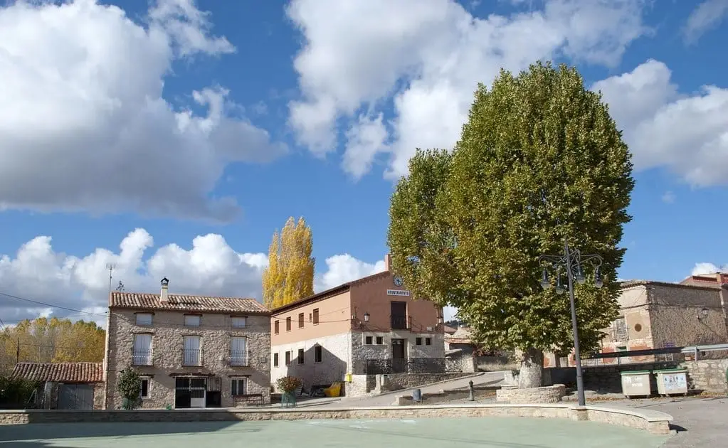
El Ceremeño Museum (Herrería)
Herreria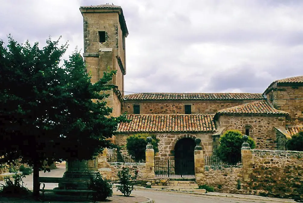
Church of Nuestra Señora de las Nieves (Rueda de la Sierra)
Rueda de la SierraTriassic rivers in Rillo de Gallo: current traces from 240 million years ago
Rillo de Gallo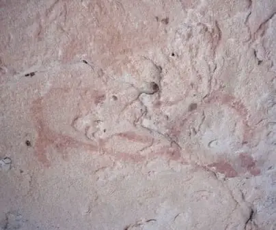
Rock shelters of Rillo de Gallo: UNESCO World Heritage Levantine art
Rillo de GalloPopulation of Pardos, 1842–2021
Pardos reached a peak of 224 inhabitants in 1930 . In the 2021 census there were 42 , a decrease of 81%. This is the history told in the emptying of the Alto Tajo.
Climate in Pardos month by month
2015–2024 averages from Copernicus ERA5 reanalysis for an altitude of approx. 1,188 m. Useful for planning, not a substitute for live forecasts.
Location
● Reference point · ● Villages · ● Places
Location diagram. Detailed map with tracks and names loads on zoom.
Reference villages: Torrubia · Tartanedo · Herreria · Cillas.
Open the full map and historical layers →