Heritage · Peralejos de las Truchas
Hermitage of the Virgen de Ribagorda (Peralejos de las Truchas)
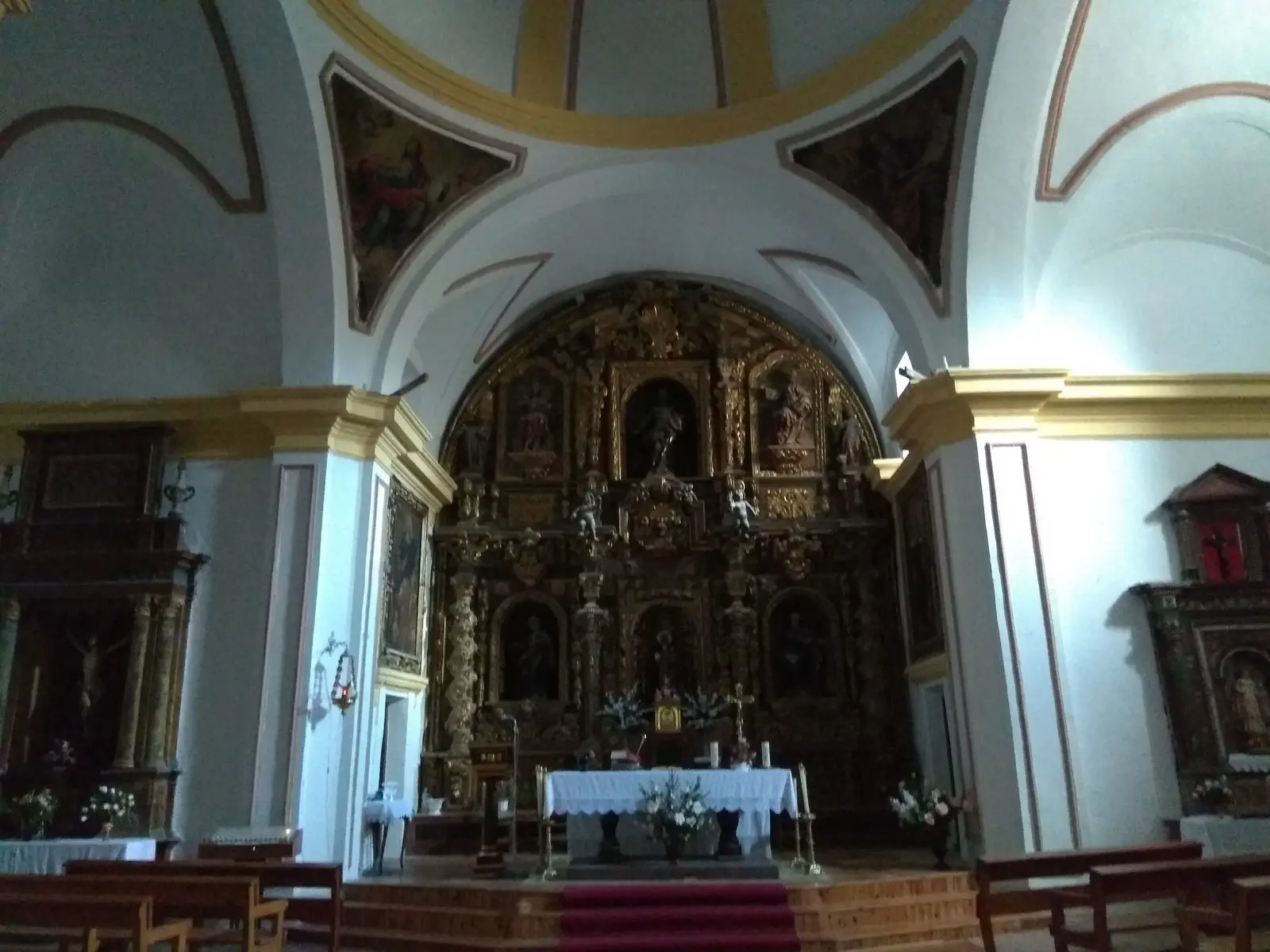
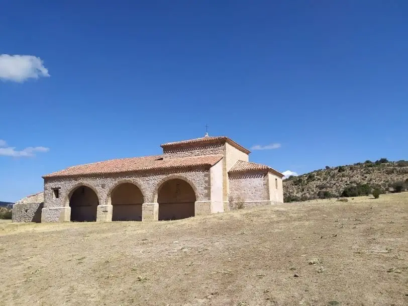
The hermitage of the Virgen de Ribagorda is located roughly 4 km from Peralejos de las Truchas on a meadow beneath Muela de Ribagorda, standing as one of the most emblematic chapels of the Alto Tajo. Built in its present form in the 18th century, legend relates a goatherd found the Romanesque icon in a cave guarded by an incorrupt hermit warrior.
Lands and landscapes
From here, follow the memory of the territory
These readings connect Hermitage of the Virgen de Ribagorda (Peralejos de las Truchas) with the history, work, and villages around it.
- Municipality
- Peralejos de las Truchas
- Province
- Guadalajara
- Altitude
- 1,401 m
- 18th century
- Goatherd legend
- Patron of Peralejos
- Ascent to El Rasón
A hermitage upon an open meadow
Roughly 4 km from Peralejos, set upon an expansive mountain meadow beneath the limestone escarpment that gives it its name, stands this compact and austere chapel. While believed to have medieval origins, the current structure was erected in the 18th century, complete with an adjoining dwelling for its custodians.
The legend
The Virgen de Ribagorda, patron saint of Peralejos, is represented by a Romanesque wooden carving which, according to local tradition, was discovered by a goatherd within a riverside cave beside the Tagus, guarded by the incorrupt remains of a hermit warrior. Today the venerated image is preserved in the village parish church of San Mateo.
Nearby trails
Across from the meadow rise the Terreras de la Virgen clay formations, and from here departs the ascent trail to Mirador del Rasón.
Location
● Reference point · ● Villages · ● Places
Location diagram. Detailed map with tracks and names loads on zoom.
Reference villages: Peralejos de las Truchas · Masegosa · Chequilla · Megina.
Open the full map and historical layers →More heritage: chapels, bridges and saltworks nearby
View all →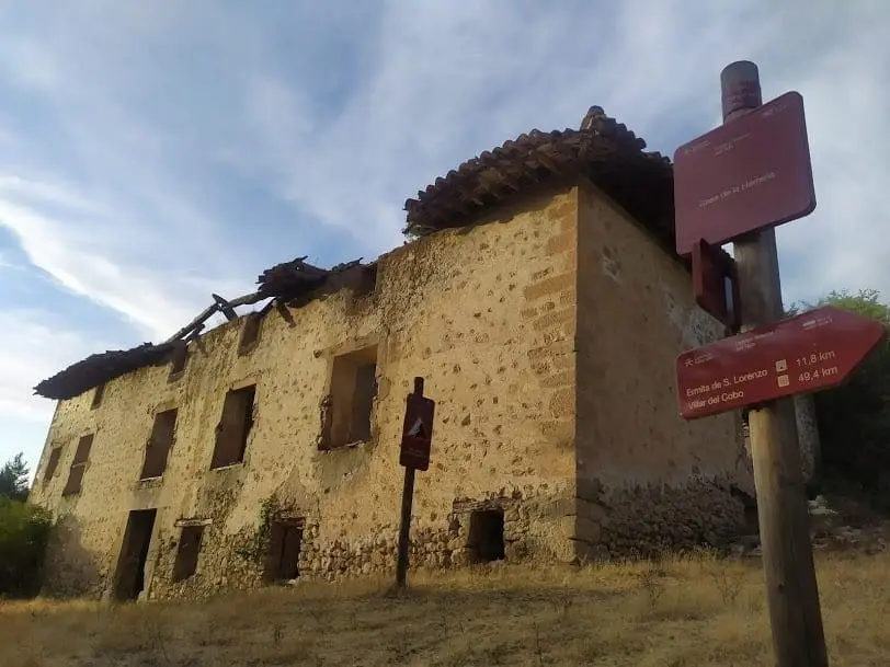
Morencos Ironworks (Peralejos): iron forging on the Hoz Seca
Peralejos de las Truchas