Geosite · Peralejos de las Truchas
Terreras de la Virgen (Cárcava de Ribagorda)
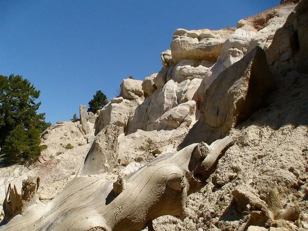
Terreras de la Virgen, also known as Cárcava de Ribagorda, are a large collapse of earth and rock at one end of Muela de Ribagorda, in Peralejos de las Truchas. You can see them head-on from the hillside opposite Ribagorda chapel and from Pie Molino viewpoint.
Lands and landscapes
From here, follow the memory of the territory
These readings connect Terreras de la Virgen (Cárcava de Ribagorda) with the history, work, and villages around it.
- Municipality
- Peralejos de las Truchas
- Province
- Guadalajara
- Erosion gully
- Opposite Ribagorda chapel
- View from Pie Molino
A hillside falling away
An erosion gully is a hillside where surface runoff has stripped away the soil, leaving grooves and walls of bare earth. At Terreras de la Virgen, this process has left a great pale scar in the plateau.
Where to see them
From Ribagorda chapel, looking towards the opposite hillside, or from Pie Molino viewpoint, on Muela de Utiel.
Location
● Reference point · ● Villages · ● Places
Location diagram. Detailed map with tracks and names loads on zoom.
Approximate position: village centre.
Reference villages: Peralejos de las Truchas · Chequilla · Megina · Masegosa.
Open the full map and historical layers →