Viewpoint · Chequilla
Mirador de la Vaqueriza: Chequilla and the Cabrillas valley
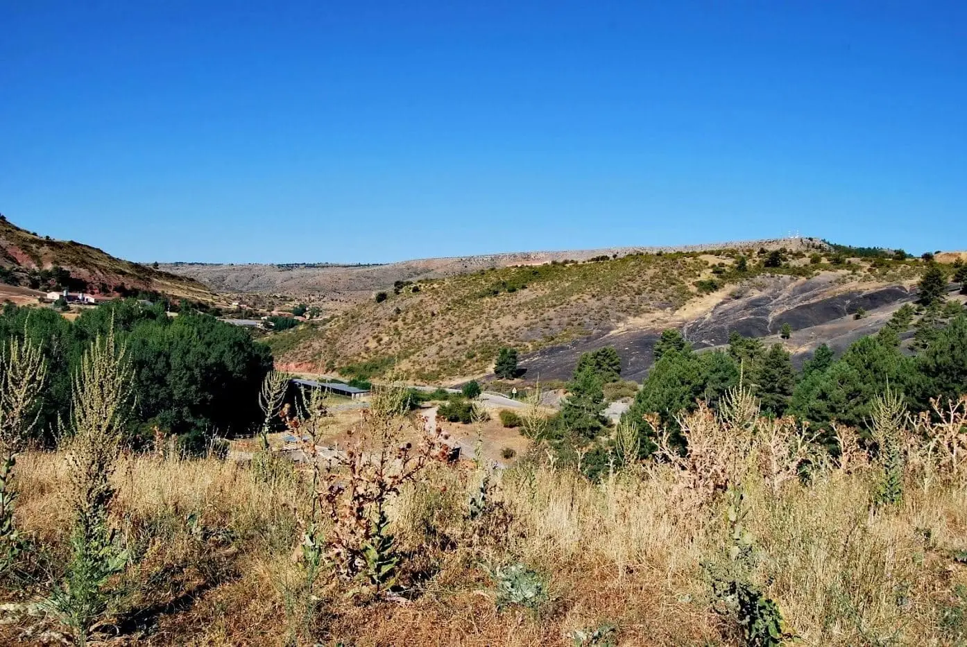
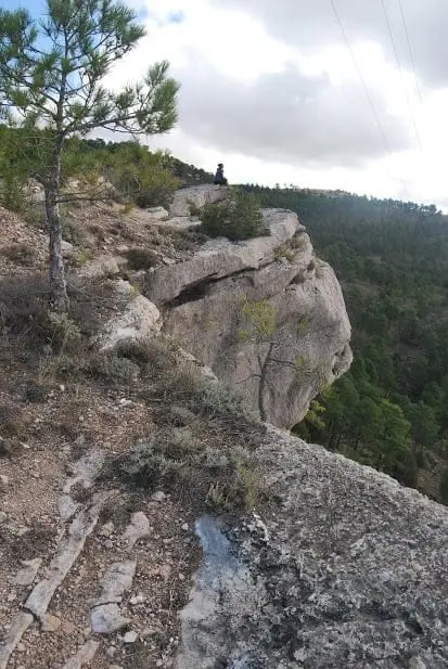
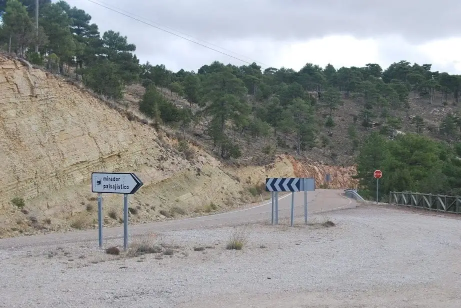
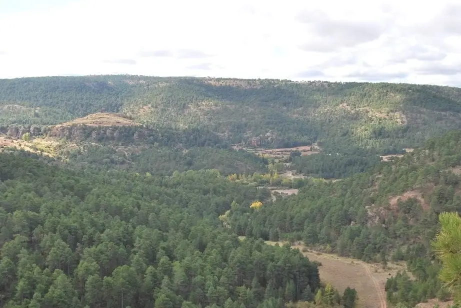
The Mirador de la Vaqueriza sits beside the CM-2111 road between Chequilla and Megina, overlooking the Cabrillas River valley with a striking view of Chequilla nestled among red sandstone towers. A good spot for small woodland raptors like goshawks, booted eagles, or sparrowhawks, with fallow deer sometimes seen below.
Lands and landscapes
From here, follow the memory of the territory
These readings connect Mirador de la Vaqueriza: Chequilla and the Cabrillas valley with the history, work, and villages around it.
- Best season
- All year round
- Municipality
- Chequilla
- Province
- Guadalajara
- Altitude
- 1,436 m
- Beside road
- View of Chequilla
- Woodland raptors
- Fallow deer
White houses among red cliffs
From La Vaqueriza, Chequilla appears nestled among towers and monoliths of red sandstone, its whitewashed houses fitting into the rocky landscape just as they have for centuries.
Wildlife watching
It is a quiet, easily accessible viewpoint, well suited for spotting woodland raptors: northern goshawks, booted eagles, short-toed snake eagles, common buzzards, and Eurasian sparrowhawks. In the valley floor, fallow deer occasionally appear.
Very close by
The enchanted city of Las Quebradas and the Chequilla bullring, carved directly into the rock.
Photo: El Observario
Location
● Reference point · ● Villages · ● Places
Location diagram. Detailed map with tracks and names loads on zoom.
Reference villages: Chequilla · Megina · Checa · Traíd.
Open the full map and historical layers →Nearby routes
All routes →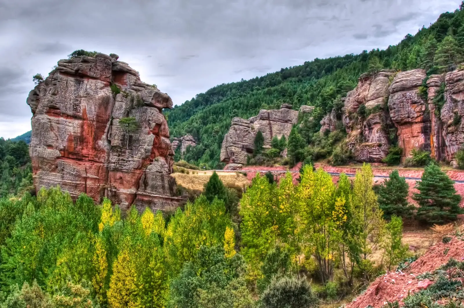
Trail 15 (SL-GU 01): the Red Rocks of Chequilla
2.8 km · 1 h · CircularTrail 16 (PR-GU 22): La Espineda and Peña Alta (Checa)
5.7 km · 2.9 h · Circular