Village · Guadalajara · 1,390 m
Traíd
Traíd is a village in the Señorío de Molina at around 1,390 metres near Montes de Picaza, a protected woodland of 15,000 hectares crowned by El Torrejón peak.
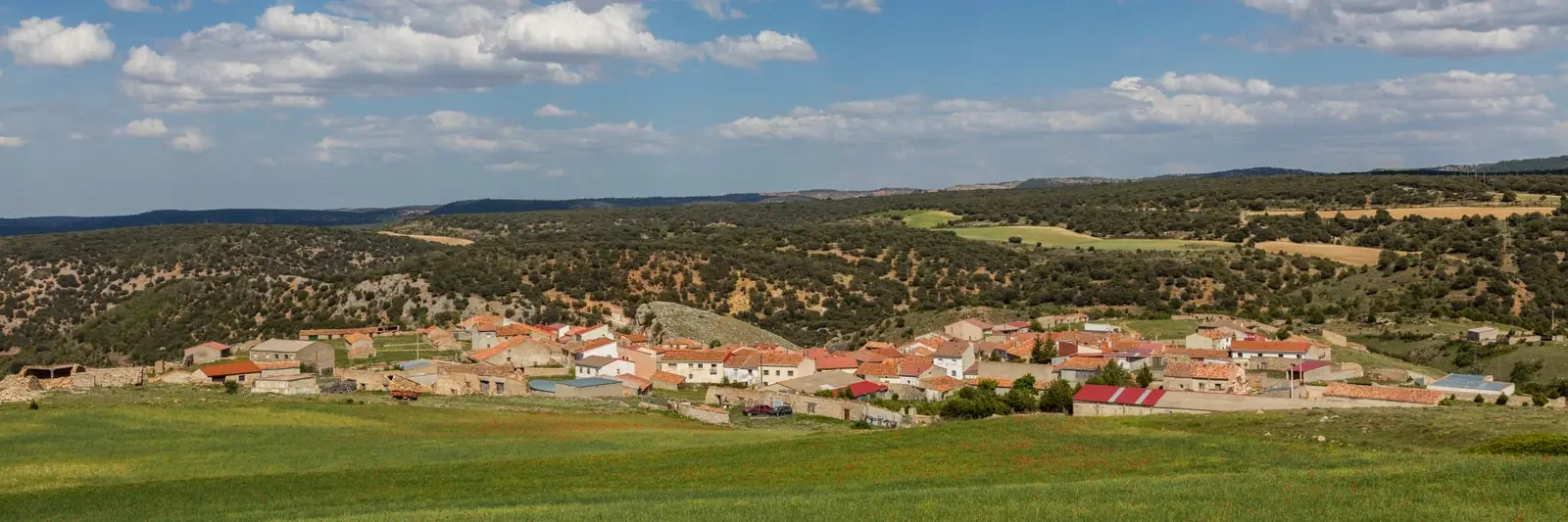
Lands and landscapes
From here, follow the memory of the territory
These readings connect Traíd with the history, work, and villages around it.
Traces in the village and its surroundings
Which eras you can read here
A single place can preserve traces from different eras. These layers connect what you see with the stories in the atlas.
What to see
Nearby
Megina, Pinilla de Molina, and Alcoroches.
More to see
In the municipal area: the fortified house of La Bujeda.
The memory of an April morning
The magazine El Torrejón reported in 2004 on a community tree-planting day beside the Navajo pool. Núria Sanz and Jesús Sanz recorded names and details of that occasion, which continues in A year in the mountains.
Places in and around Traíd
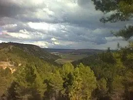
Near Traíd
Roble de la Sexma: where the Sierra representatives were elected
Alcoroches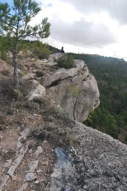
Mirador de la Vaqueriza: Chequilla and the Cabrillas valley
ChequillaWashhouse Black Poplar (Pinilla de Molina): largest catalogued poplar in the comarca
Pinilla de Molina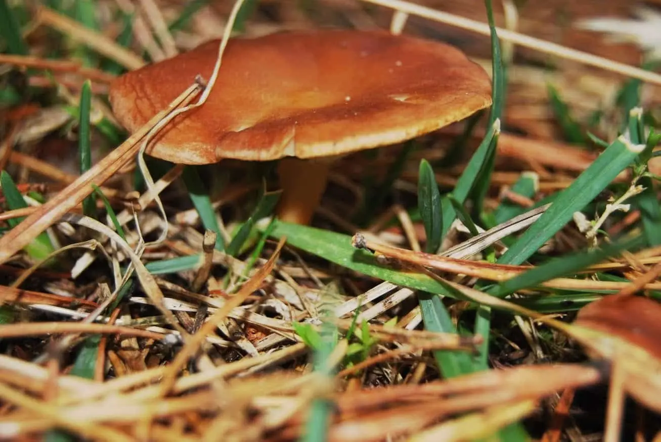
La Sierra mushroom-gathering controlled zone
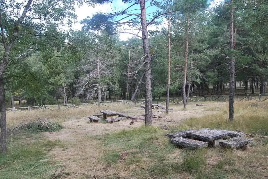
La Vaqueriza recreation area (Chequilla)
Chequilla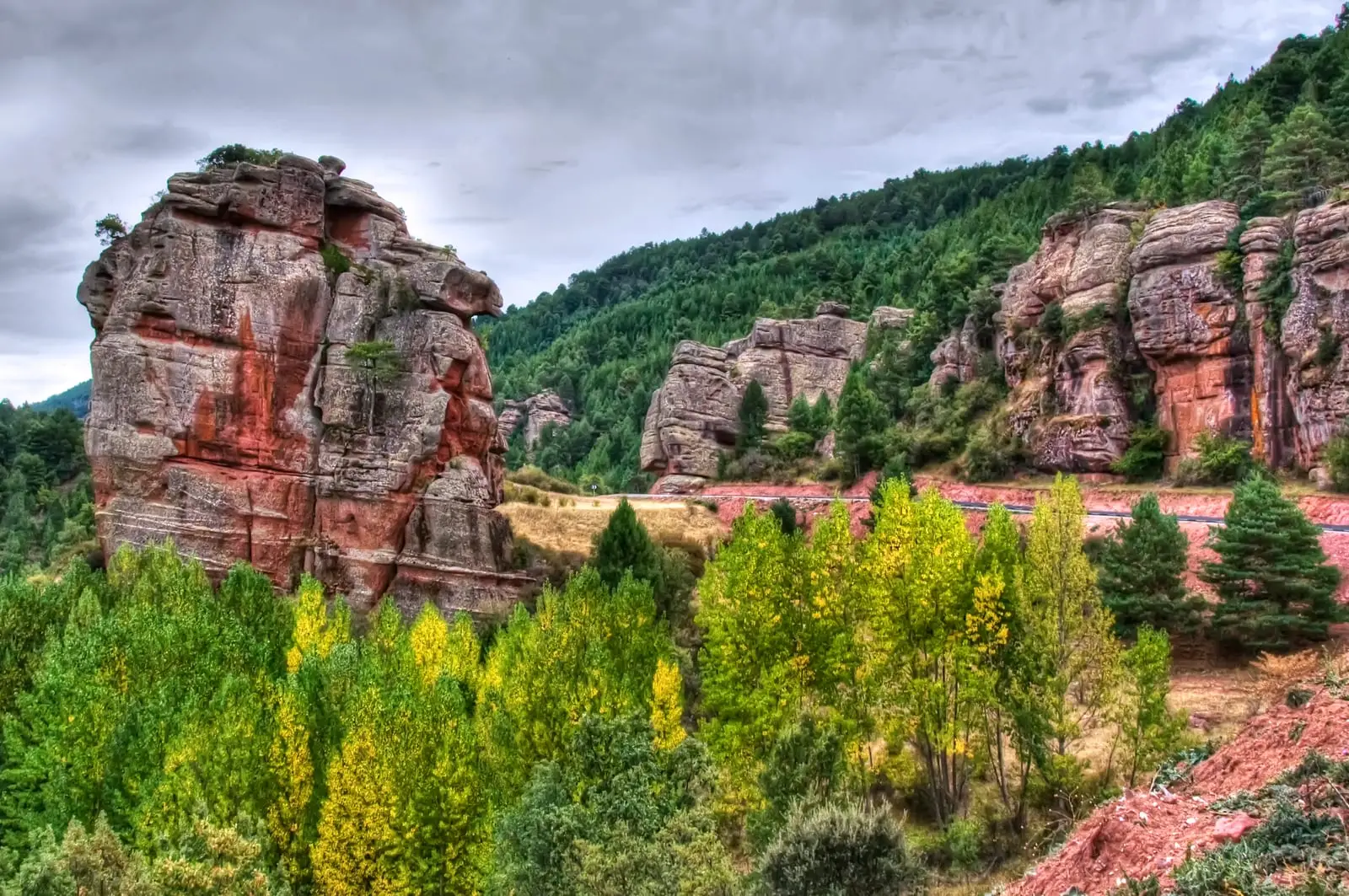
Trail 15 (SL-GU 01): the Red Rocks of Chequilla
2.8 km · 1 h · CircularLas Quebradas: the little enchanted city of Chequilla
Chequilla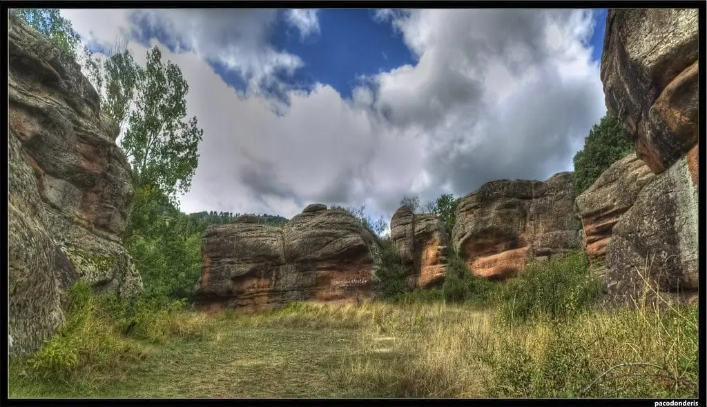
Chequilla bullring: an arena between stone towers
ChequillaPopulation of Traíd, 1842–2021
Traíd reached a peak of 707 inhabitants in 1920 . In the 2021 census there were 27 , a decrease of 96%. This is the history told in the emptying of the Alto Tajo.
Climate in Traíd month by month
2015–2024 averages from Copernicus ERA5 reanalysis for an altitude of approx. 1,390 m. Useful for planning, not a substitute for live forecasts.
Location
● Reference point · ● Villages · ● Places
Location diagram. Detailed map with tracks and names loads on zoom.
Reference villages: Megina · Pinilla de Molina · Alcoroches · Chequilla.
Open the full map and historical layers →