Georuta 8: Geotrail 8: from Checa to Chequilla
Georuta 8, 'secrets hidden in rocks', features 9 stops across three branches from Checa, totaling around 16 km by car or bike. Explores extinct fossils, 400-million-year-old landscapes, La Aguaspeña tufa, El Cubillo polje, and Chequilla rock city.
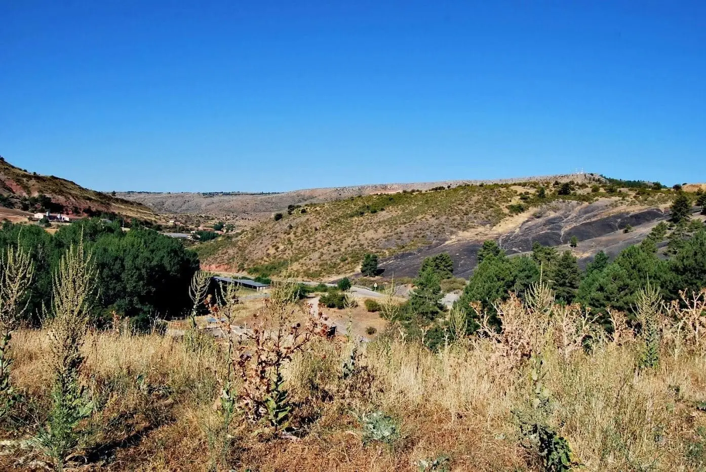
Lands and landscapes
From here, follow the memory of the territory
These readings connect Geotrail 8: from Checa to Chequilla with the history, work, and villages around it.
- Code
- Georuta 8
- Distance
- 16 km
- Duration
- 4 h
- Trail type
- Linear
- Difficulty
- Easy
- Altitude
- 1,346 m
Walking duration without transfers or stops. Check in the official source whether distance and time include the return leg. Difficulty rated according to the official source; verify its conditions and notices. “Easy” does not imply wheelchair or stroller accessibility.
- Georuta 8
- Three branches
- La Aguaspeña
- 400-million-year-old rocks
How to travel the route
Georoutes are thematic itineraries with numbered stops, panels, and outcrop plaques, linked by car or bicycle, with specific segments on foot. The official self-guided brochure explains each stop.
Three branches
- Stops 1 to 3: parking at km 19.4 of the road from Checa to Orea, featuring an experimental interpretive zone and steps up to the third stop. Here lie the graptolites and the dropstone of Checa.
- Stops 4 to 6: the viewpoint at the church in Checa, the tufa formation of La Aguaspeña with an elevated wooden walkway, and the turnoff to Cueva del Tornero, from where you walk across the polje of El Cubillo with sinkholes and temporary pools.
- Stops 7 to 9: towards Chequilla, sandstone spires, the village square, and the walk through Las Quebradas following Sendero 15.
Splitting the route
If time is limited, each of the three branches can be explored on different days.
Before you set out
Carry water, mountain footwear, and download the GPS track in advance: mobile reception is absent in many areas. Check the forecast on Today in the Alto Tajo and the official trail sheet for notices and closures, and respect seasonal restrictions during raptor breeding periods.
Official route · Parque Natural del Alto Tajo (Junta de Castilla-La Mancha). Description, track and notices on the official guide. Before setting out, verify there whether changes or closures apply.
Location
● Reference point · ● Villages · ● Places · ━ Simplified official route
Location diagram. Detailed map with tracks and names loads on zoom.
Reference villages: Checa · Chequilla · Alcoroches · Orea.
Open the full map and historical layers →