Route · Chequilla
Sendero 15: Trail 15 (SL-GU 01): the Red Rocks of Chequilla
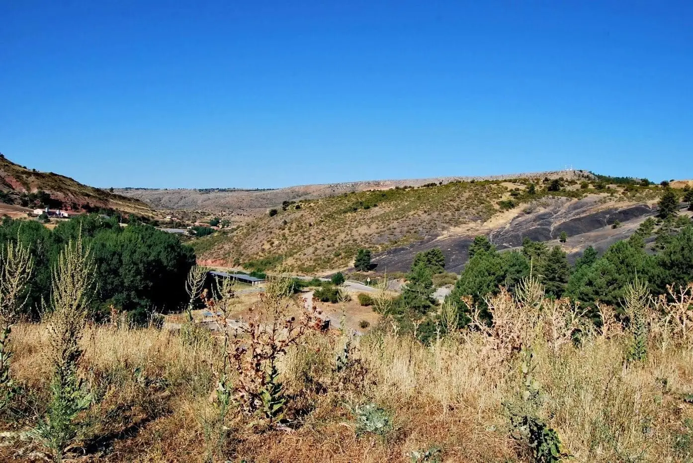
Circular walk of 2.8 km and 1 hour around Chequilla, suitable for all audiences, certified as local path SL-GU 01. Follows 800 m of paved road towards Peralejos, ascends Salcedo stream, circles red sandstone spires, and returns via GR-10 to the natural bullring.
Lands and landscapes
From here, follow the memory of the territory
These readings connect Trail 15 (SL-GU 01): the Red Rocks of Chequilla with the history, work, and villages around it.
- Code
- Sendero 15 · SL-GU 01
- Distance
- 2.8 km
- Duration
- 1 h
- Trail type
- Circular
- Difficulty
- Easy
- Altitude
- 1,356 m
Walking duration without transfers or stops. Difficulty rated according to the official source; verify its conditions and notices. “Easy” does not imply wheelchair or stroller accessibility.
- Sendero 15 · SL-GU 01
- For all families
- Red sandstone
- Natural bullring
- Formerly SL PNAT 10
White, red, and green
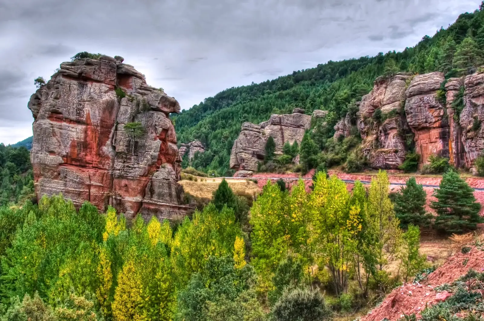
The walk highlights the striking contrast that makes Chequilla unique: white whitewashed cottages, red sandstone, and green pastures and pine forests. Starts at the village edge towards Peralejos, walked counter-clockwise.
The route
The first 800 metres follow the paved road; traffic is light, but remain cautious. Then turn left along a track ascending the Salcedo stream between pine woods and scrub, skirting Las Quebradas. Joining the GR-10, head back towards the village between rodeno sandstone spires and pinnacles to the plaza de toros, a natural enclosure formed by 4 to 10-metre crags.
Before you set out
Carry water, mountain footwear, and download the GPS track in advance: mobile reception is absent in many areas. Check the forecast on Today in the Alto Tajo and the official trail sheet for notices and closures, and respect seasonal restrictions during raptor breeding periods.
Official route · Parque Natural del Alto Tajo (Junta de Castilla-La Mancha). Description, track and notices on the official guide. Before setting out, verify there whether changes or closures apply.
Frequently asked questions
Is the Red Rocks route in Chequilla easy?
Yes: it is a 2.8 km circular trail, taking around one hour, low difficulty and suitable for all audiences. Exercise caution on the first 800 m along the paved road.
Location
● Reference point · ● Villages · ● Places · ━ Simplified official route
Location diagram. Detailed map with tracks and names loads on zoom.
Reference villages: Chequilla · Checa · Megina · Peralejos de las Truchas.
Open the full map and historical layers →