Route · Checa
Sendero 16: Trail 16 (PR-GU 22): La Espineda and Peña Alta (Checa)
Circular walk of 5.7 km and 3 hours from Fuente de los Vaqueros in Checa, certified as PR-GU 22. With 200 m elevation gain, climbs through Scots pine and Pyrenean oak to Peña Alta quartzite crests, returning along Carboneros stream. Suitable for children used to walking.
Lands and landscapes
From here, follow the memory of the territory
These readings connect Trail 16 (PR-GU 22): La Espineda and Peña Alta (Checa) with the history, work, and villages around it.
- Code
- Sendero 16 · PR-GU 22
- Distance
- 5.7 km
- Duration
- 2.9 h
- Trail type
- Circular
- Difficulty
- Moderate
- Best season
- Summer and autumn (mushrooms)
- Altitude
- 1,386 m
Walking duration without transfers or stops. Difficulty rated according to the official source; verify its conditions and notices. “Easy” does not imply wheelchair or stroller accessibility.
- Sendero 16 · PR-GU 22
- Circular, moderate difficulty
- Peña Alta
- Good in summer
Ascent to Peña Alta
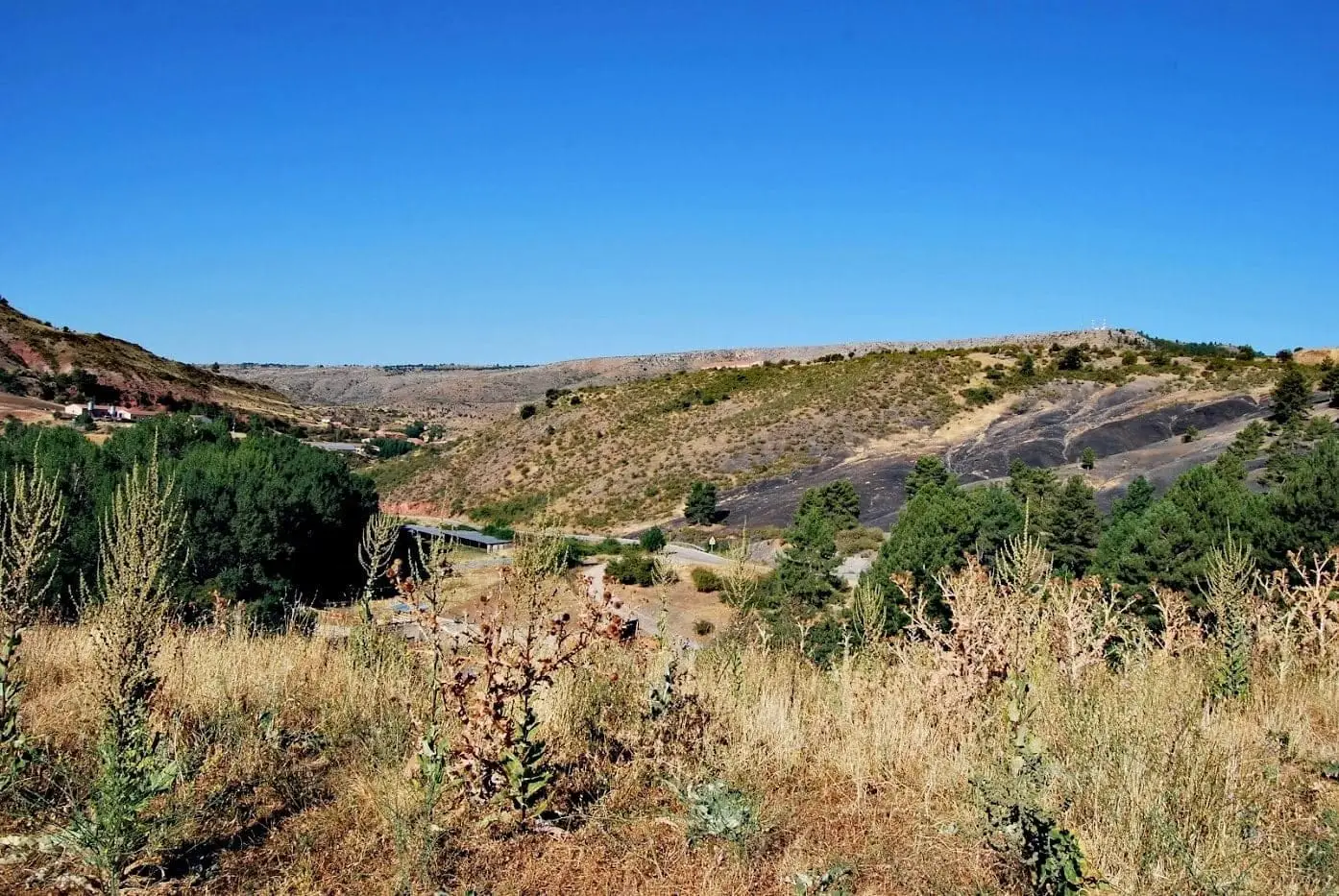
Departs from the Fuente de los Vaqueros recreation area in Checa; best completed clockwise. Initially, open pine forest with grazing pastures for cattle and sheep; then the path climbs through mixed woodland of Scots pine and Pyrenean oak to the quartzite crests of Peña Alta. The summit offers vistas across La Espineda mountain and the villages of Checa, Chequilla, and Traíd.
Return through mountain meadows
Descend to the Carboneros stream, among cool meadows and former kitchen plots, continue downstream through pine woods to Cruz de la Degollada, and close the circuit through the wet pastures of Cañada Posotos. In summer it offers partial shade and comfortable mountain temperatures. Continuing along the road towards Checa brings you to Fuente del Hierro and the cascade of the Espineda stream.
Grazing livestock
This is active pasture land: do not approach calves and close any gates you pass through.
Before you set out
Carry water, mountain footwear, and download the GPS track in advance: mobile reception is absent in many areas. Check the forecast on Today in the Alto Tajo and the official trail sheet for notices and closures, and respect seasonal restrictions during raptor breeding periods.
Official route · Parque Natural del Alto Tajo (Junta de Castilla-La Mancha). Description, track and notices on the official guide. Before setting out, verify there whether changes or closures apply.
Location
● Reference point · ● Villages · ● Places · ━ Simplified official route
Location diagram. Detailed map with tracks and names loads on zoom.
Reference villages: Checa · Alcoroches · Chequilla · Orea.
Open the full map and historical layers →