Heritage · Orea
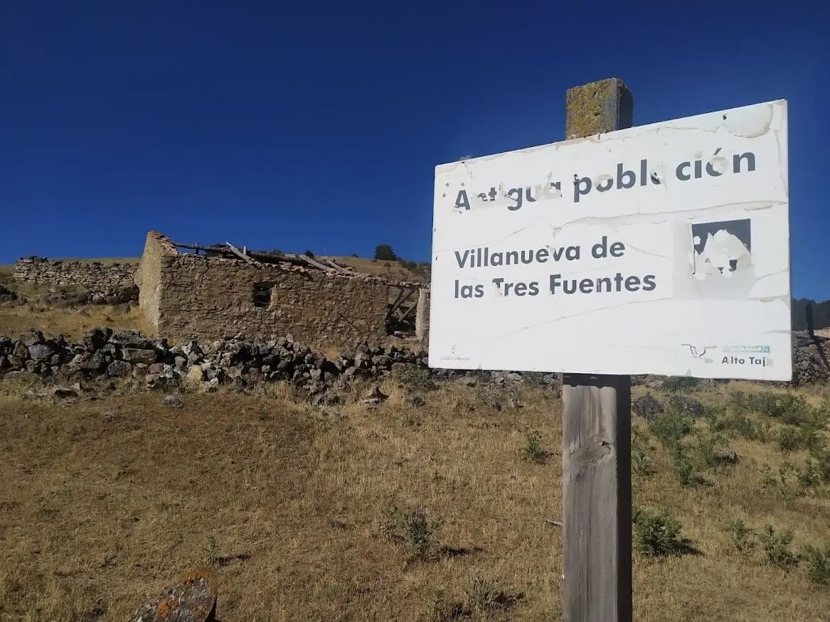
Villanueva de las Tres Fuentes (Orea): an abandoned village in Sierra Molina
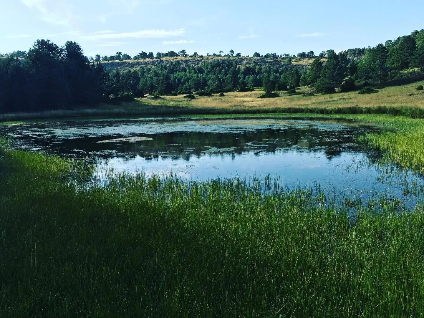
Villanueva de las Tres Fuentes, known as La Chaparrilla until the 19th century, is a deserted settlement in Orea, abandoned more than forty years ago. Surrounded by dense pine woods in one of the area’s loveliest settings, it shows both Sierra Molina’s landscape and how the harshness of mountain life emptied many small villages.
Lands and landscapes
From here, follow the memory of the territory
These readings connect Villanueva de las Tres Fuentes (Orea): an abandoned village in Sierra Molina with the history, work, and villages around it.
This place across time
Which eras you can read here
A single place can preserve traces from different eras. These layers connect what you see with the stories in the atlas.
- Municipality
- Orea
- Province
- Guadalajara
- Altitude
- 1,511 m
- Abandoned village
- La Chaparrilla
- Sierra Molina
- Pine woods
A village left without people
Villanueva de las Tres Fuentes has been depopulated for over forty years. Until the 19th century it was called La Chaparrilla. Like so many small mountain villages, its inhabitants left in search of places where life was less harsh.
An exceptional setting
It is hard to understand how a place like this was abandoned: surrounded by very dense pine forests, it is a perfect example of the terrain of Sierra Molina. It is in the municipality of Orea.
Location
● Reference point · ● Villages · ● Places
Location diagram. Detailed map with tracks and names loads on zoom.
Reference villages: Orea · Checa · Vega del Codorno · Chequilla.
Open the full map and historical layers →