Water source · Frías de Albarracín
Source of the Tagus River and its monument (Montes Universales)
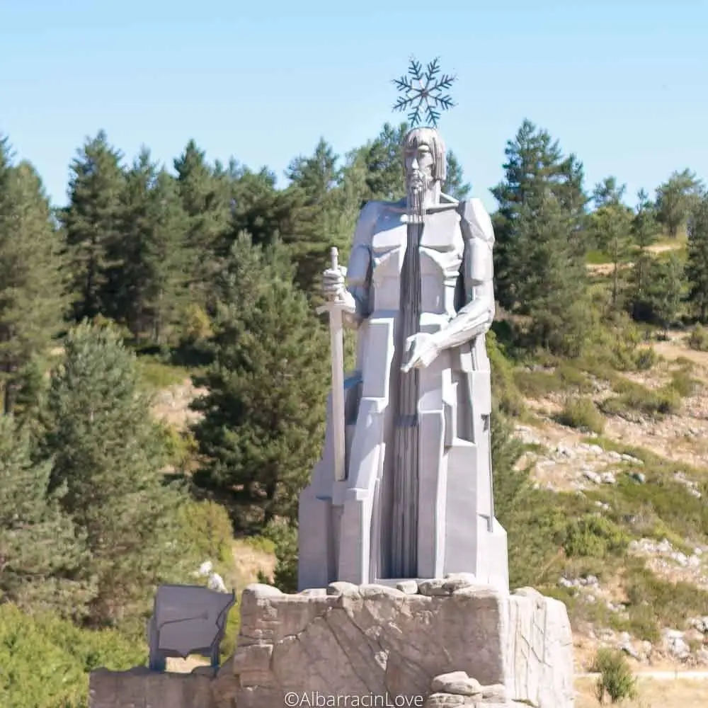
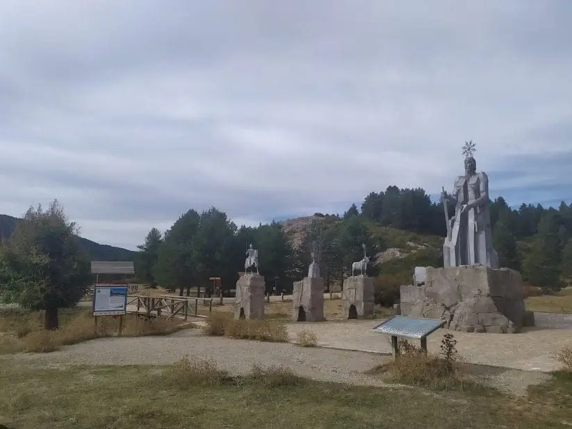
The Tajo rises in the Montes Universales, a mountain range exceeding 1,800 metres. A trickle springs from Fuente García and gathers other springs on its way to the source monument, designed in 1974 by José Gonzalvo Vives, from Rubielos de Mora, in tribute to Teruel, Cuenca and Guadalajara. It lies outside the Natural Park, in Teruel.
Rivers and basins
The thread of water from Source of the Tagus River and its monument (Montes Universales)
Follow these watercourses towards their confluences, villages, and basin history.
- Municipality
- Frías de Albarracín
- Province
- Teruel
- Altitude
- 1,568 m
- Fuente García
- Montes Universales
- 1974 monument
- Teruel
The first steps of the Tagus
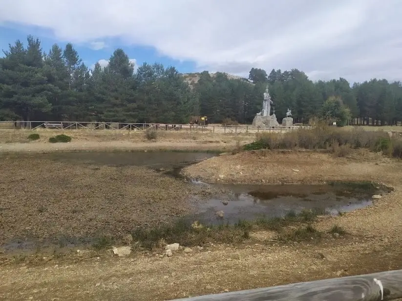
The longest river on the peninsula begins as a trickle of water at Fuente García, high in the Montes Universales. From there it flows down, gathering water from other springs until reaching the area of the monument.
The monument
Designed in 1974 by the sculptor José Gonzalvo Vives, a native of Rubielos de Mora (Teruel), it pays tribute to the three provinces that forge its course: Teruel, Cuenca, and Guadalajara. The Tagus enters the Natural Park shortly downstream at the Puente de las Tres Provincias.
Photo: El Observario
Location
● Reference point · ● Villages · ● Places
Location diagram. Detailed map with tracks and names loads on zoom.
Reference villages: Vega del Codorno · Orea · Checa · Motos.
Open the full map and historical layers →