Viewpoint · Peralejos de las Truchas
Mirador Pie Molino: Peralejos from Muela de Utiel
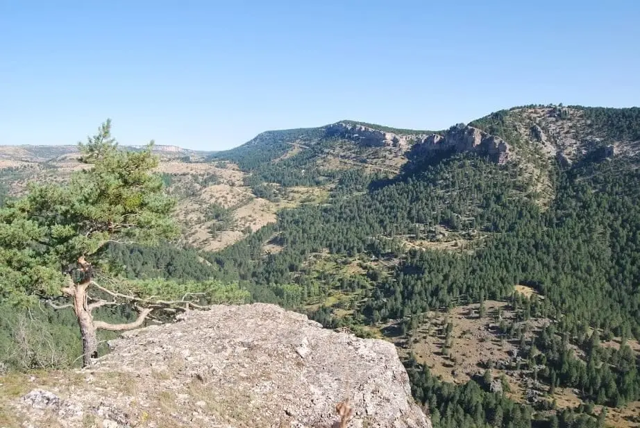
The Pie Molino viewpoint sits at 1,425 metres altitude on Muela de Utiel, right above Peralejos de las Truchas. From it you see Altos de la Campana, the village, the shaded northern slopes of Belvalle in Cuenca, and the rockfall of Terreras de la Virgen. Griffon vultures soar at eye level.
Lands and landscapes
From here, follow the memory of the territory
These readings connect Mirador Pie Molino: Peralejos from Muela de Utiel with the history, work, and villages around it.
- Best season
- Spring and autumn
- Municipality
- Peralejos de las Truchas
- Province
- Guadalajara
- Altitude
- 1,232 m
- 1,425 m
- Muela de Utiel
- Vultures
- Chasms along path
- Sheepfolds
A balcony over Peralejos
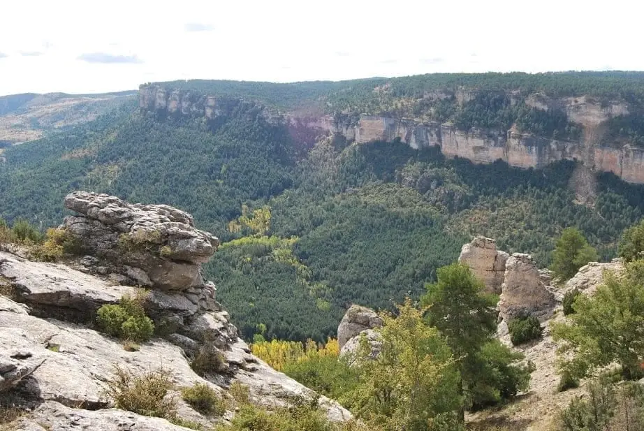
From Pie Molino you look straight down on Peralejos de las Truchas at your feet, with Altos de la Campana in the background and the shaded slopes of Dehesa de Belvalle on the Cuenca side. Directly opposite stands a major rockslide scar: the Terreras de la Virgen.
Along the trail
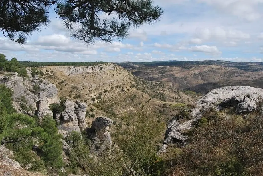
The trails crossing Muela de Utiel wind through pine woods alive with chaffinches, blue tits, crossbills, and great spotted woodpeckers, passing ruined stone sheepfolds that recall the days when large flocks were part of everyday life.
Watch out for chasms
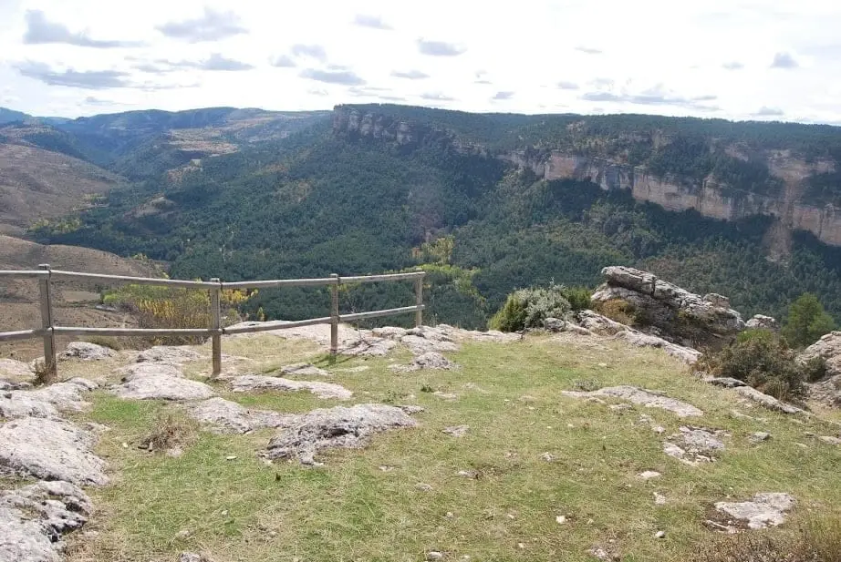
The plateau is riddled with natural chasms, like Sima del Chaparral. Most are fenced off, but keep an eye on where you step.
Photo: El Observario
Location
● Reference point · ● Villages · ● Places
Location diagram. Detailed map with tracks and names loads on zoom.
Reference villages: Peralejos de las Truchas · Megina · Chequilla · Masegosa.
Open the full map and historical layers →