Village · Guadalajara · 1,217 m
Pinilla de Molina
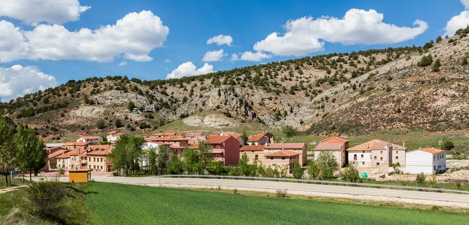
Pinilla de Molina is a village in the Señorío de Molina at about 1,220 metres, near Terzaga. From its village fountain begins the Ruta de las Encinas, ascending via the GR-160 Camino del Cid to a mixed oak forest.
What to do
The Ruta de las Encinas, a circular walk of about 6.5 km.
Nearby
Terzaga, with its saltworks and Spanish juniper grove, and Megina.
Places in and around Pinilla de Molina
Near Pinilla de Molina
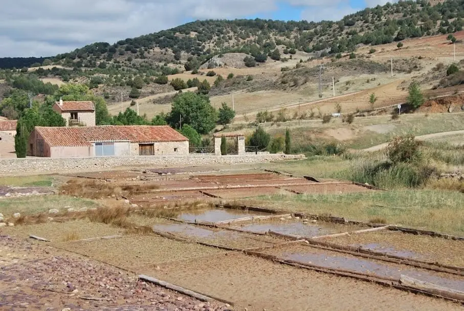
Terzaga Salt Pans: Medieval Salt on the Bullones River
Terzaga
Montes de Picaza: 15,000 hectares of protected forest
TraídTrail 12: the Cabrillas River route (Megina)
7.9 km · 3 h · Circular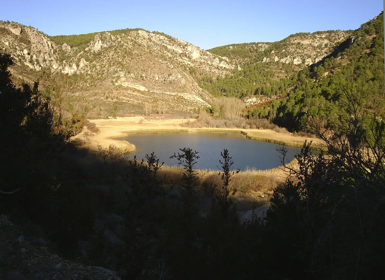
MTB route 3: La Muela, between Taravilla and Peralejos
24 km · 6 h · Linear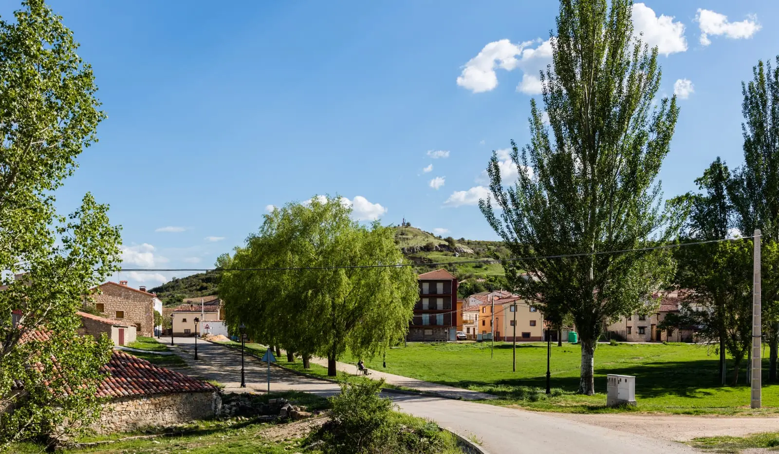
MTB route 2: the Tagus Viewpoints (Taravilla)
33 km · 4 h · Linear
Torre de Doña Blanca (Taravilla): Watchtower Over the Cabrillas
Taravilla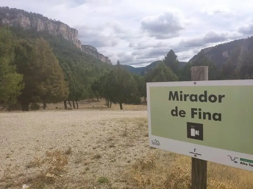
Mirador de Fina: roadside balcony over the Tagus
Taravilla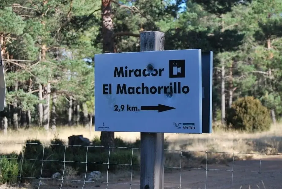
Mirador del Machorrillo: Laguna de Taravilla from above
TaravillaPopulation of Pinilla de Molina, 1842–2021
Pinilla de Molina reached a peak of 372 inhabitants in 1897 . In the 2021 census there were 11 , a decrease of 97%. This is the history told in the emptying of the Alto Tajo.
Climate in Pinilla de Molina month by month
2015–2024 averages from Copernicus ERA5 reanalysis for an altitude of approx. 1,217 m. Useful for planning, not a substitute for live forecasts.
Location
● Reference point · ● Villages · ● Places
Location diagram. Detailed map with tracks and names loads on zoom.
Reference villages: Terzaga · Megina · Traíd · Taravilla.
Open the full map and historical layers →