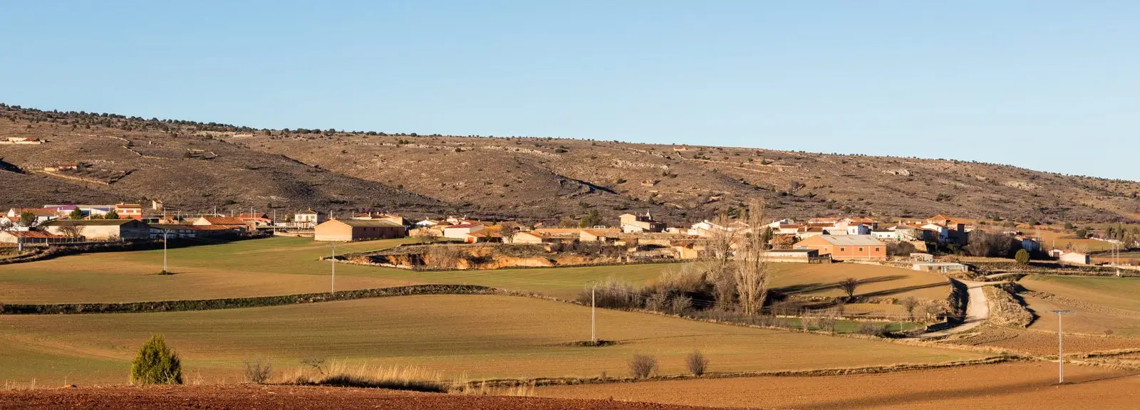
Route · Fuentelsaz
PR-GU 12: the Fuentelsaz Kite and the Stratotype
Circular route of 13.9 km from Fuentelsaz, certified as PR-GU 12, with 535 m elevation gain and moderate difficulty. Passes the Aalenian Stage Golden Spike (GSSP) Natural Monument, ruins of Pedro I's castle, the centennial Carrascón oak, El Tormo, and Fuente de la Peña.
- Code
- PR-GU 12
- Distance
- 13.9 km
- Elevation gain
- 535 m
- Trail type
- Circular
- Difficulty
- Moderate
- Altitude
- 1,137 m
Walking duration without transfers or stops. Difficulty rated according to the official source; verify its conditions and notices. “Easy” does not imply wheelchair or stroller accessibility.
- PR-GU 12
- Circular, moderate difficulty
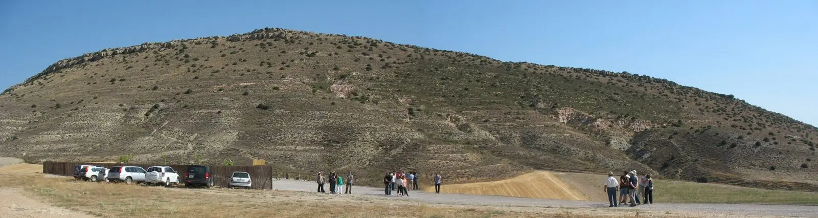
- Aalenian Stratotype GSSP
- El Carrascón
A global benchmark in Earth history
In Fuentelsaz, in the northeastern corner of Guadalajara, lies the stratotype (GSSP) selected by the International Union of Geological Sciences as the Global Boundary Stratotype Section and Point for the Aalenian Stage of the Jurassic: the global reference section for the planet. It is a declared Natural Monument of Castilla-La Mancha.
The route
The first section passes the rock pinnacle of El Tormo and reaches the ruins of the medieval castle known as Pedro the Cruel’s castle, which formerly guarded the Castile-Aragon frontier. Next it visits El Carrascón, a multi-centennial holm oak split by lightning that survived, and climbs to Fuente de la Peña, unusual for springing at high altitude, after passing the poplar grove of Fuente de Villacabras.
Waymarking
White and yellow trail markers. GPS track and guide available on the official Federation page.
Before you set out
Carry water, mountain footwear, and download the GPS track in advance: mobile reception is absent in many areas. Check the forecast on Today in the Alto Tajo and the official trail sheet for notices and closures, and respect seasonal restrictions during raptor breeding periods.
Official route · Federación de Deportes de Montaña de Castilla-La Mancha. Description, track and notices on the official guide. Before setting out, verify there whether changes or closures apply.
Location
● Reference point · ● Villages · ● Places · ━ Simplified official route
Location diagram. Detailed map with tracks and names loads on zoom.
Reference villages: Fuentelsaz · Milmarcos · Hinojosa · Labros.
Open the full map and historical layers →