Water source · Tortuera
Lagoons of Tortuera: the wetland trail of the high plateau
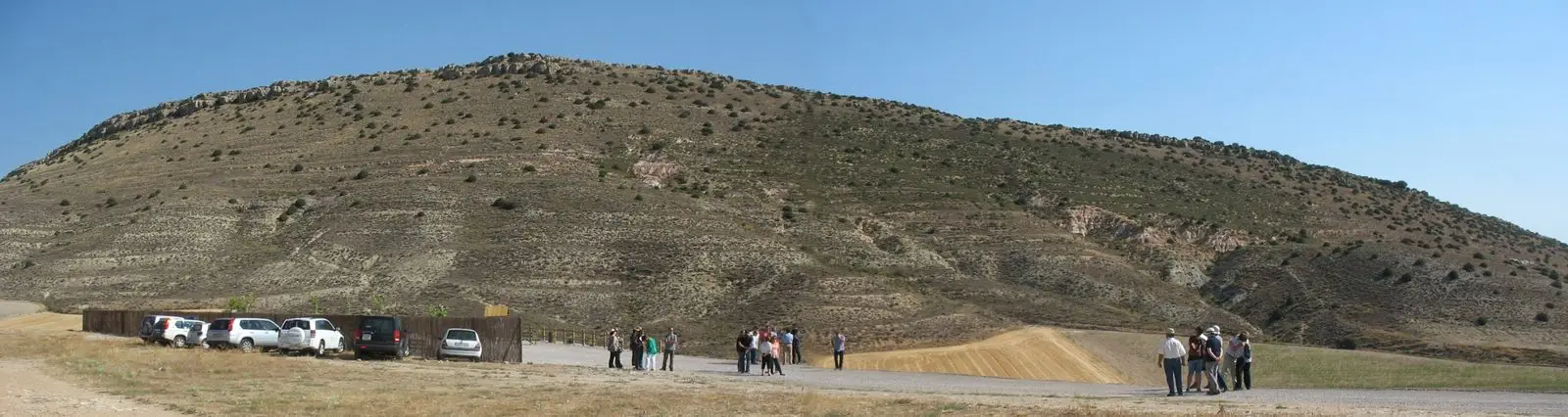
The lagoons of Tortuera are seasonal pools on the Molina plateau, above 1,000 metres, that fill with rain. Part of the Natura 2000 SPA, home to one of the region's best Dupont's lark populations, they serve as a stopover and wintering site for cranes and waterfowl. The village has a signposted wetland walking route.
Lands and landscapes
From here, follow the memory of the territory
These readings connect Lagoons of Tortuera: the wetland trail of the high plateau with the history, work, and villages around it.
- Best season
- Autumn and winter for waterfowl and cranes; spring for steppe birds.
- Municipality
- Tortuera
- Province
- Guadalajara
- Altitude
- 1,146 m
- Seasonal pools
- Dupont's lark
- Cranes
- Wetland trail
Ponds and seasonal pools
Around Tortuera, on the high plateau of the northern Señorío, rainwater collects in shallow depressions: seasonal ponds and pools that last a few months and then vanish. They might look modest, but they are a rare, protected habitat: Mediterranean temporary ponds.
A protected reserve
Tortuera contributes about 337 hectares to the SPA and SAC Lagunas y Parameras del Señorío de Molina, a reserve covering over 6,000 hectares. On these flat plains of thyme and low scrub lives one of the best-preserved regional populations of Dupont’s lark, one of the most threatened birds in Europe. When the pools hold water, they welcome migrating cranes and waterfowl.
Wetland route
The local council has marked a wetland trail linking several pools along farm tracks. Very close by in the village are its manor houses.
Location
● Reference point · ● Villages · ● Places
Location diagram. Detailed map with tracks and names loads on zoom.
Reference villages: Tortuera · Embid · Cillas · Cubillejo del Sitio.
Open the full map and historical layers →