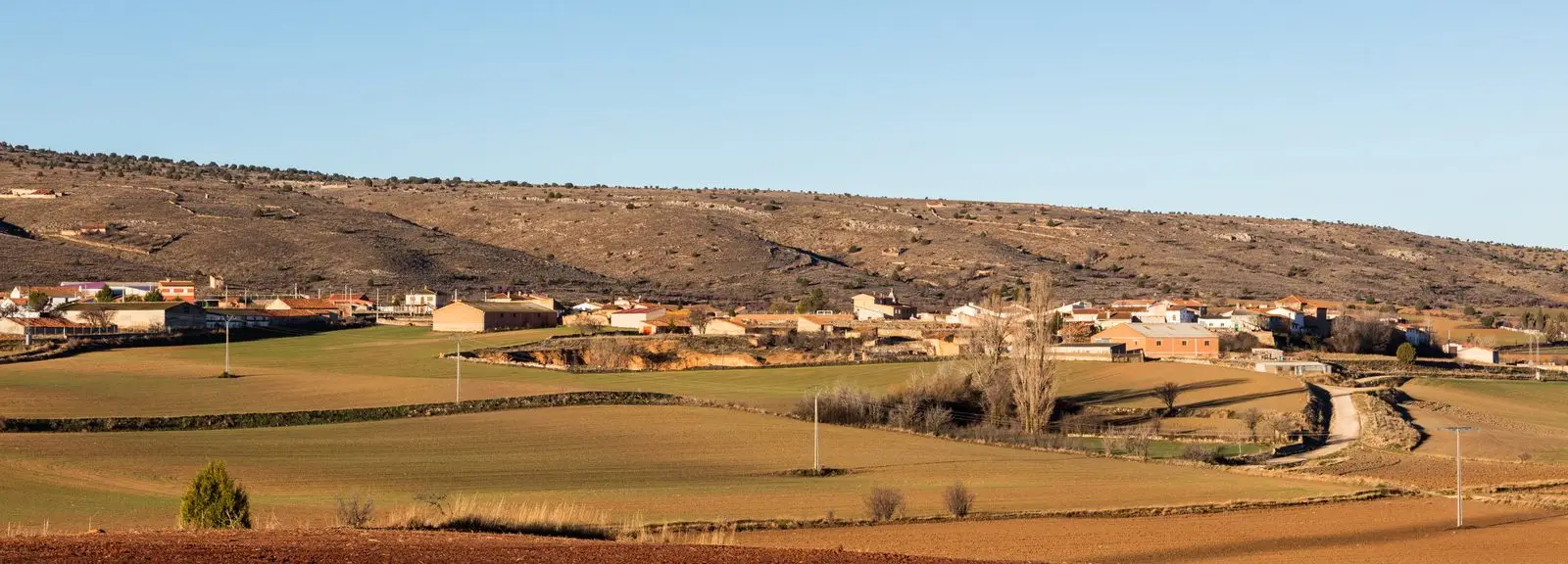
Geosite · Fuentelsaz
Fuentelsaz Stratotype: a global geological reference standard
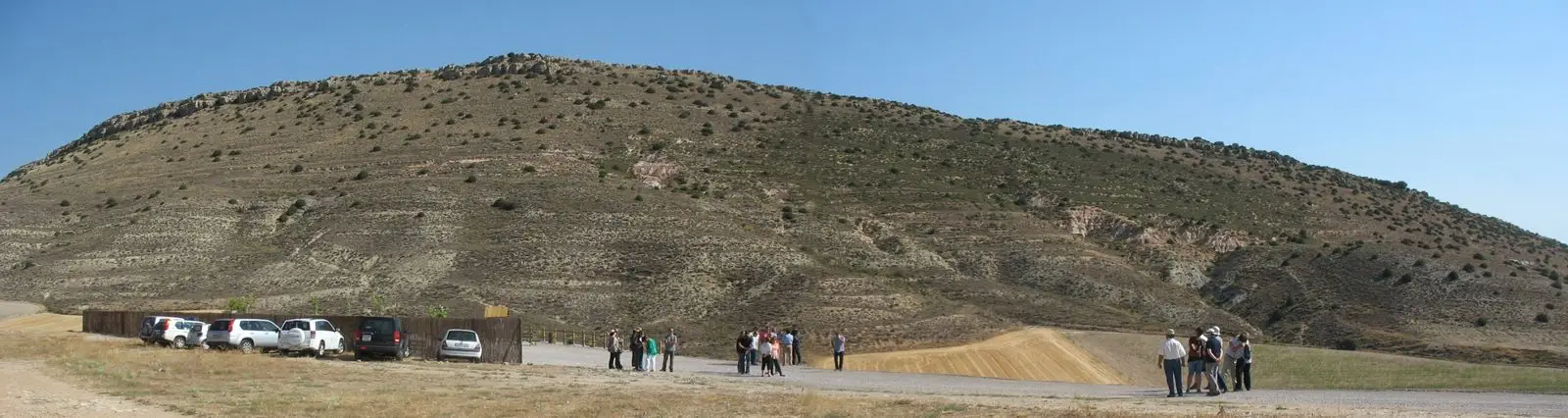
The Fuentelsaz Stratotype, in the Molina-Alto Tajo Geopark, is the international reference standard for the transition between the Lower and Middle Jurassic, roughly 175 million years ago. Selected in 2000 by the International Union of Geological Sciences as a global standard; one of only five such stratotypes in Spain. Located 500 m from town.
This place across time
Which eras you can read here
A single place can preserve traces from different eras. These layers connect what you see with the stories in the atlas.
- Municipality
- Fuentelsaz
- Province
- Guadalajara
- Altitude
- 1,125 m
- Global reference
- Jurassic
- 175 million years ago
- One of five in Spain
The reference benchmark of geological time
To calibrate the history of planet Earth, geologists require reference sections where an evolutionary transition is recorded in a continuous and exceptionally detailed sequence. These specialized stratigraphic sections, known as stratotypes or GSSPs (Global Boundary Stratotype Sections and Points), serve as universal benchmarks against which all other rock strata on Earth are correlated.
Chosen by the international geological community
The International Union of Geological Sciences (IUGS) ratified in 2000 the rock outcrop at Fuentelsaz as the definitive Global Stratotype for the boundary between the Lower Jurassic (Toarcian) and Middle Jurassic (Aalenian), dating to approximately 175 million years ago. Only five such officially ratified stratotypes exist in Spain.
The site is situated roughly 500 metres from the village of Fuentelsaz.
Location
● Reference point · ● Villages · ● Places
Location diagram. Detailed map with tracks and names loads on zoom.
Reference villages: Fuentelsaz · Milmarcos · Hinojosa · Labros.
Open the full map and historical layers →