Village · Guadalajara · 1,183 m
Tartanedo
Tartanedo, at 1,180 metres in the Sexma del Campo, is the seat of a municipality that includes Amayas, Concha, Hinojosa, and Labros. It holds San Bartolomé church with its Romanesque portal and the intact baroque Casa de los Utrera.
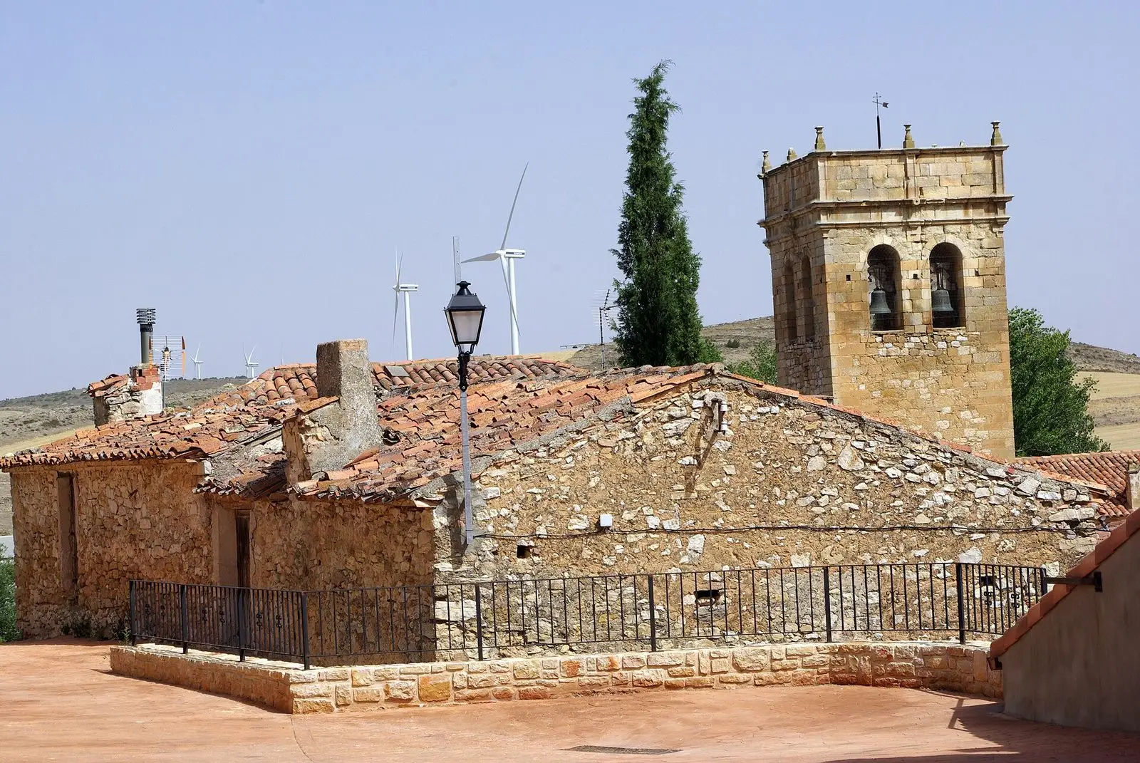
Traces in the village and its surroundings
Which eras you can read here
A single place can preserve traces from different eras. These layers connect what you see with the stories in the atlas.
What to see in Tartanedo
- The church of San Bartolomé, with a Romanesque portal featuring carvings of mythical creatures on its capitals.
- The Casa de los Utrera, an 18th-century baroque palace that remains virtually unchanged.
In the municipality
Tartanedo is one of the historic towns of the former Sexma del Campo. Its municipal area gathers several hamlets with their own heritage:
- Hinojosa, with the hermitage of Santa Catalina, 12th-century Romanesque.
- Labros, with the church of Santiago and its figurative portal.
- Amayas, with its surviving elm tree.
- Concha.
Nearby
Torrubia and Pardos, with its copper mines.
Places in and around Tartanedo
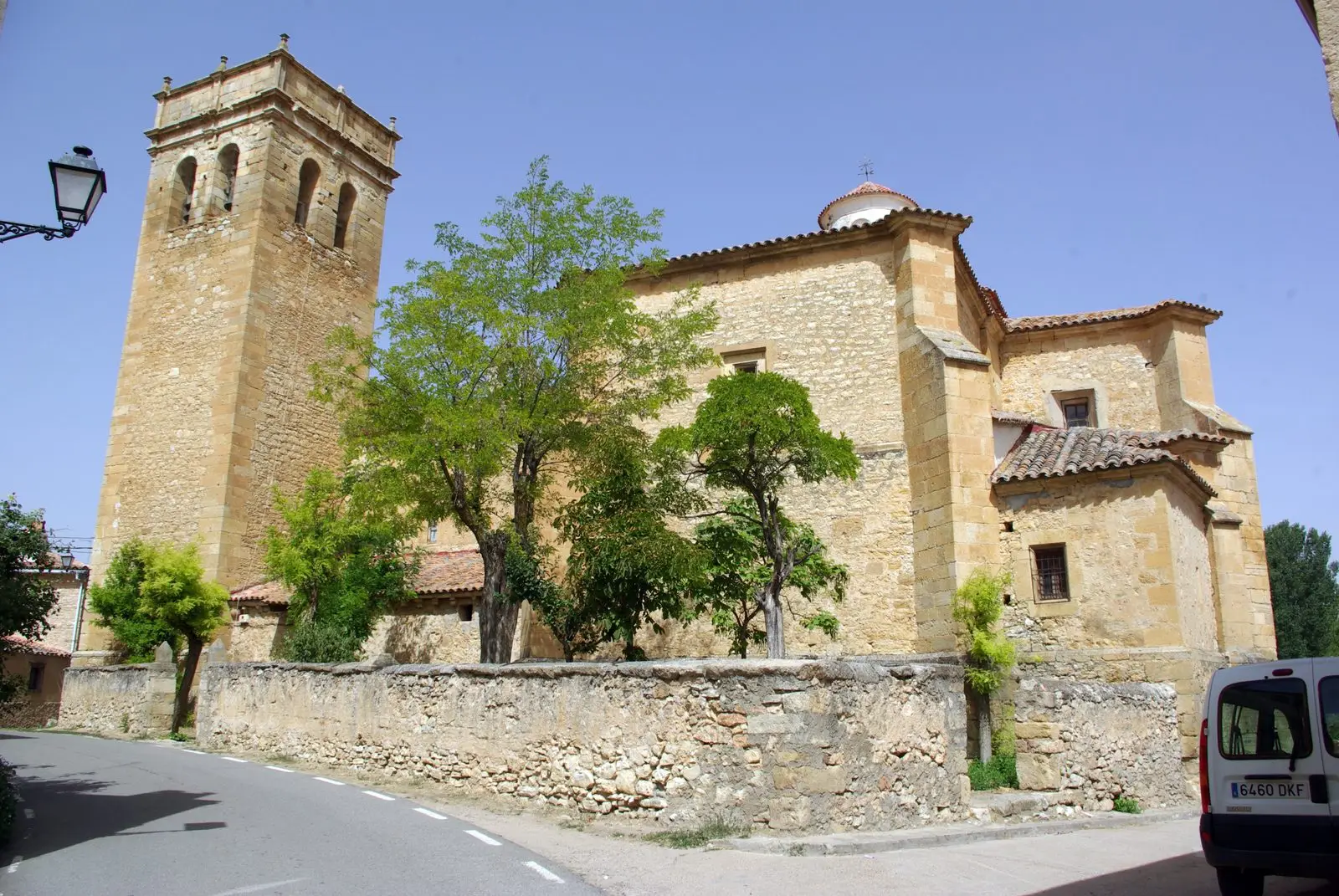
Routes linked to Tartanedo
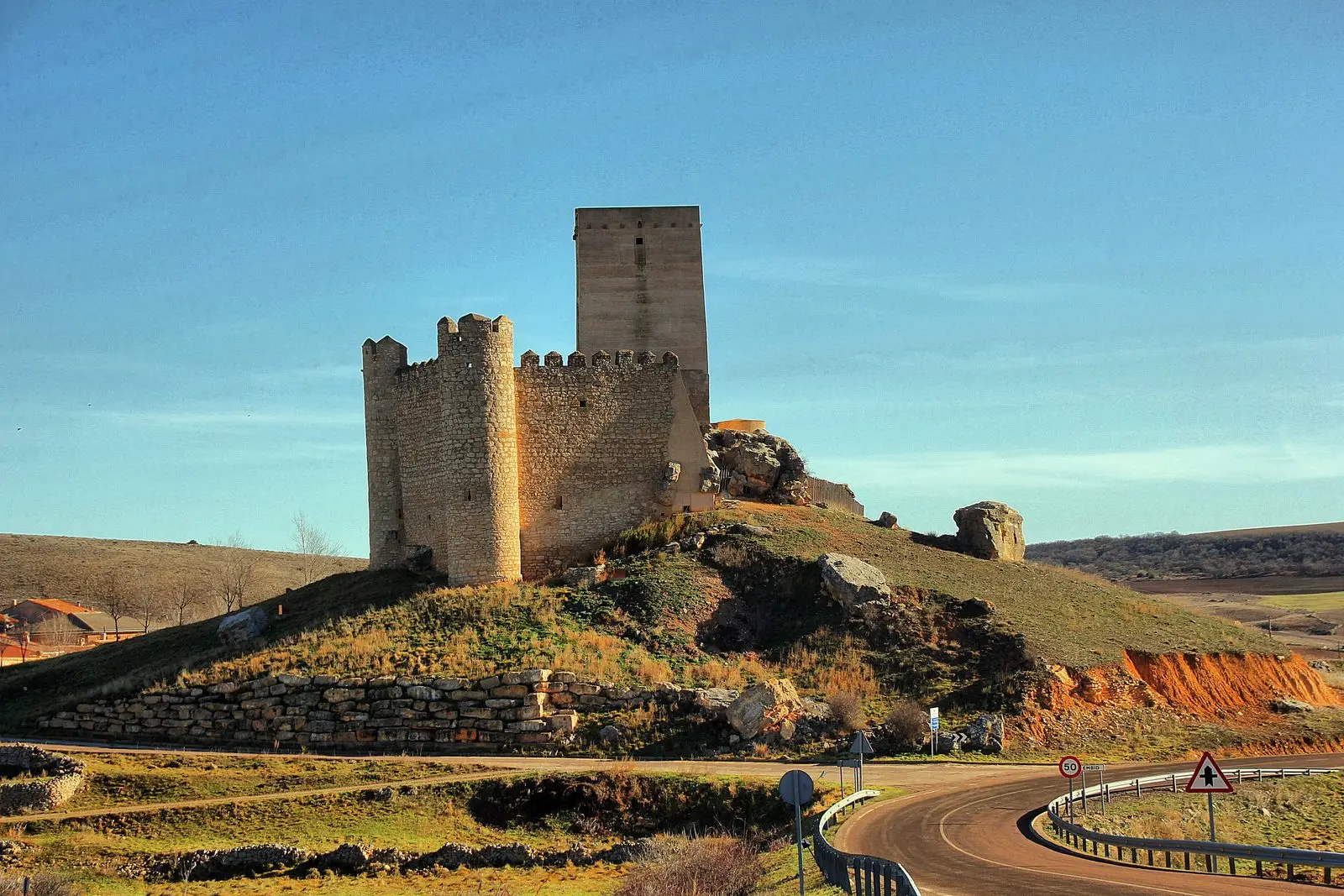
Near Tartanedo
Sanctuary of La Concepción in Cillas, Meeting Place of the Sexma del Campo
CillasChurch of Santiago in Labros: a recovered Romanesque gem
Labros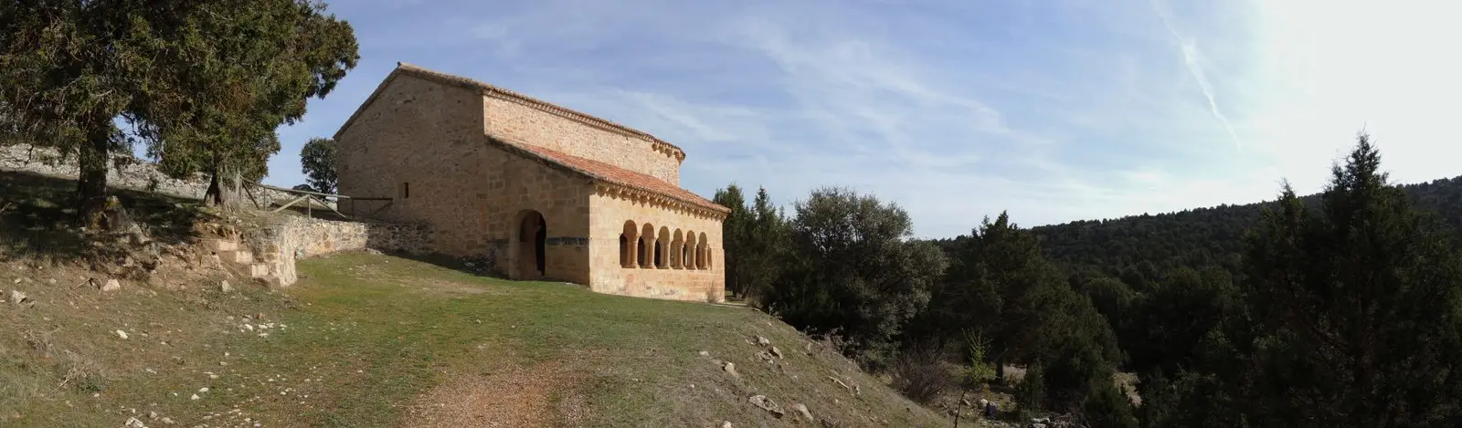
Hermitage of Santa Catalina of Hinojosa: Romanesque among junipers
HinojosaPardos mines: Mina Estrella and its copper minerals
Pardos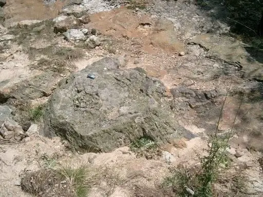
Fossil forest of Rillo de Gallo: a 300-million-year-old Pompeii
Aragoncillo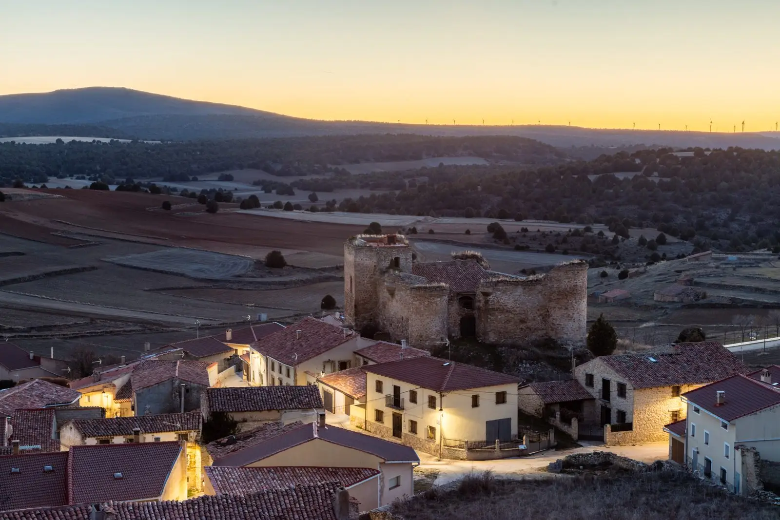
Castle of the Mala Sombra (Establés): history and legend
Establés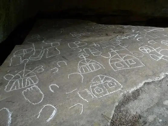
Peña Escrita (Canales de Molina): rock engravings with human figures
Canales de MolinaAmayas Elm: a survivor of Dutch elm disease
AmayasPopulation of Tartanedo, 1842–2021
Tartanedo reached a peak of 450 inhabitants in 1920 . In the 2021 census there were 146 , a decrease of 68%. This is the history told in the emptying of the Alto Tajo.
Climate in Tartanedo month by month
2015–2024 averages from Copernicus ERA5 reanalysis for an altitude of approx. 1,183 m. Useful for planning, not a substitute for live forecasts.
Location
● Reference point · ● Villages · ● Places
Location diagram. Detailed map with tracks and names loads on zoom.
Reference villages: Torrubia · Pardos · Hinojosa · Labros.
Open the full map and historical layers →