Village · Guadalajara · 1,128 m
Fuentelsaz
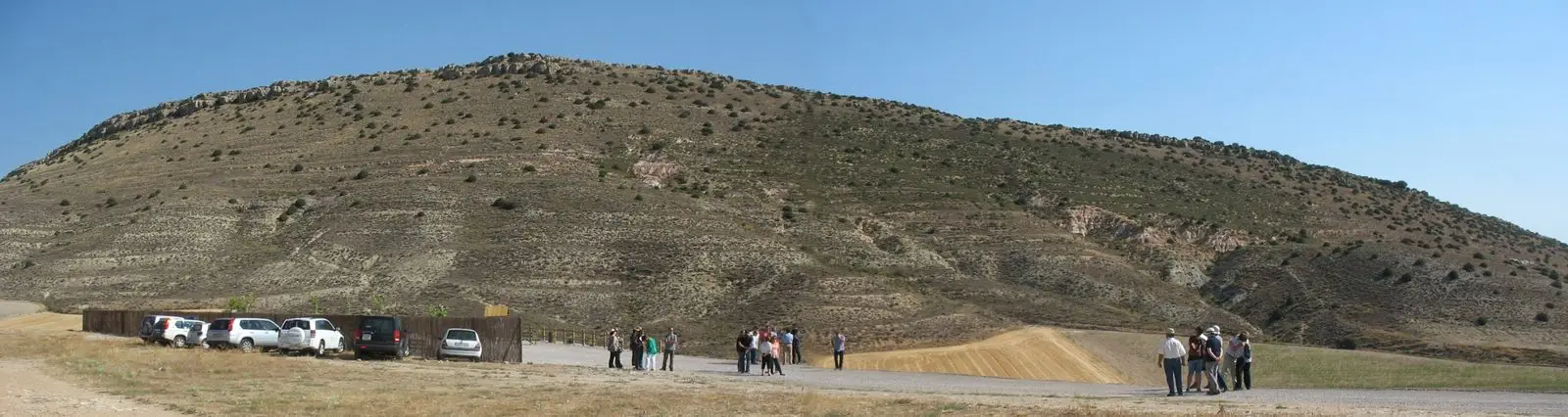
Fuentelsaz is a village in the north of the Señorío de Molina, within the Molina-Alto Tajo Geopark. About 500 metres from the village lies its stratotype, chosen in 2000 by the International Union of Geological Sciences as the global reference for the boundary between the Lower and Middle Jurassic, around 175 million years ago.
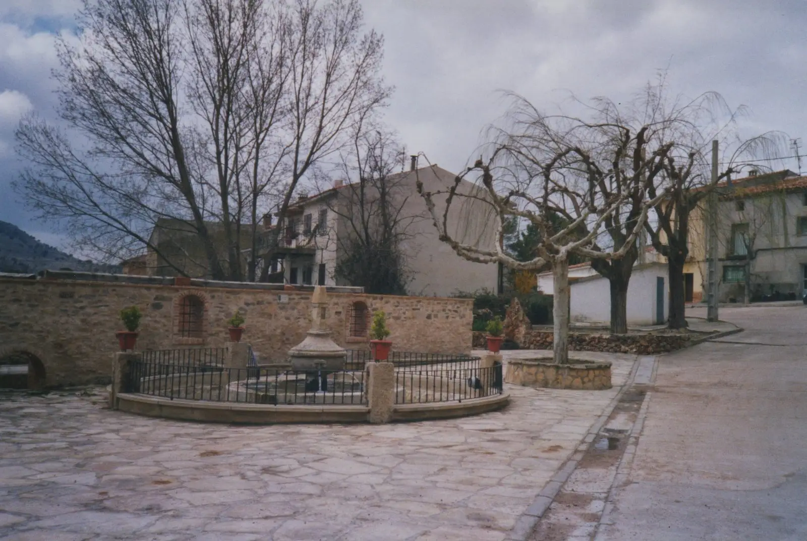
Traces in the village and its surroundings
Which eras you can read here
A single place can preserve traces from different eras. These layers connect what you see with the stories in the atlas.
What to see
The stratotype of Fuentelsaz, one of the few places in Spain chosen as a global standard for measuring geological time.
It lies somewhat apart from the central core of the Alto Tajo, about 20 km from Canales de Molina and Herrería: combine it with a visit to Molina de Aragón.
Places in and around Fuentelsaz
Routes linked to Fuentelsaz
Near Fuentelsaz
Milmarcos: manor houses, Mannerist altarpiece, and a theatre of a prosperous town
Milmarcos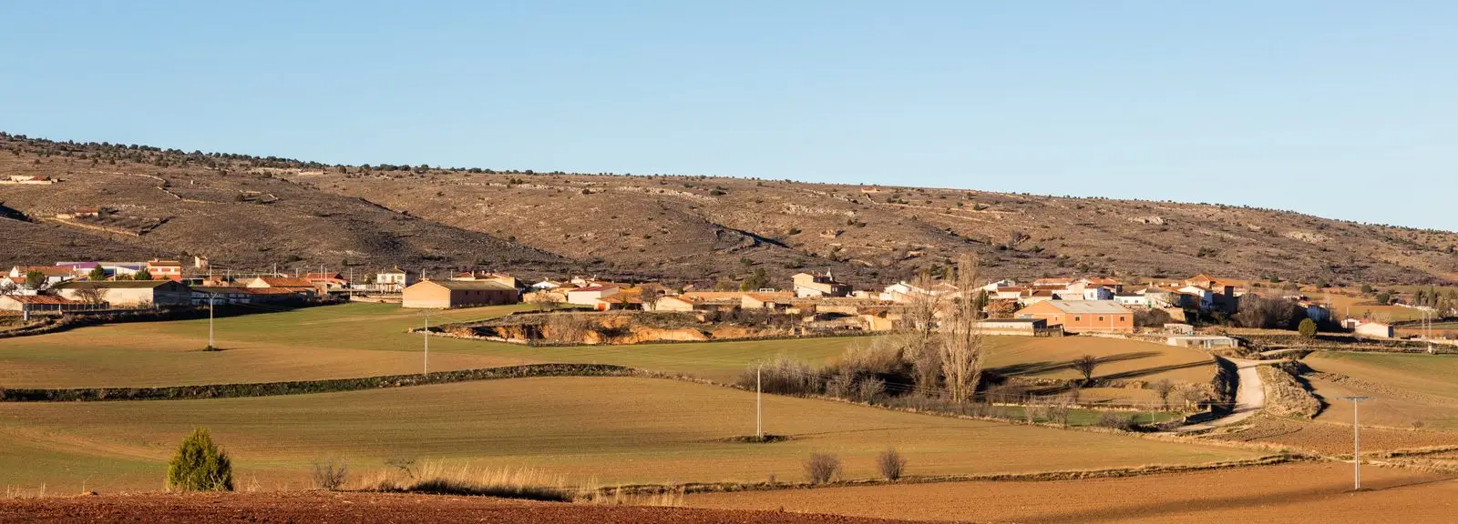
PR-GU 11: the ancient trail to Jaraba (Milmarcos)
14 km · Circular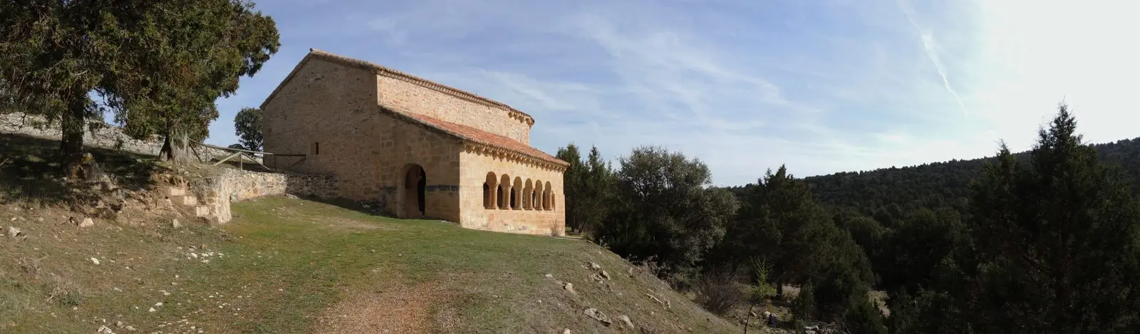
Hermitage of Santa Catalina of Hinojosa: Romanesque among junipers
HinojosaChurch of Santiago in Labros: a recovered Romanesque gem
LabrosLagoons of Tortuera: the wetland trail of the high plateau
TortueraSanctuary of La Concepción in Cillas, Meeting Place of the Sexma del Campo
Cillas
Molina-style manor houses of Tortuera
TortueraLagunas y parameras del Señorío de Molina: Natura 2000 wetland plains
TortueraPopulation of Fuentelsaz, 1842–2021
Fuentelsaz reached a peak of 586 inhabitants in 1940 . In the 2021 census there were 87 , a decrease of 85%. This is the history told in the emptying of the Alto Tajo.
Climate in Fuentelsaz month by month
2015–2024 averages from Copernicus ERA5 reanalysis for an altitude of approx. 1,128 m. Useful for planning, not a substitute for live forecasts.
Location
● Reference point · ● Villages · ● Places
Location diagram. Detailed map with tracks and names loads on zoom.
Reference villages: Milmarcos · Hinojosa · Labros · Tortuera.
Open the full map and historical layers →