Village · Guadalajara · 1,206 m
Hinojosa
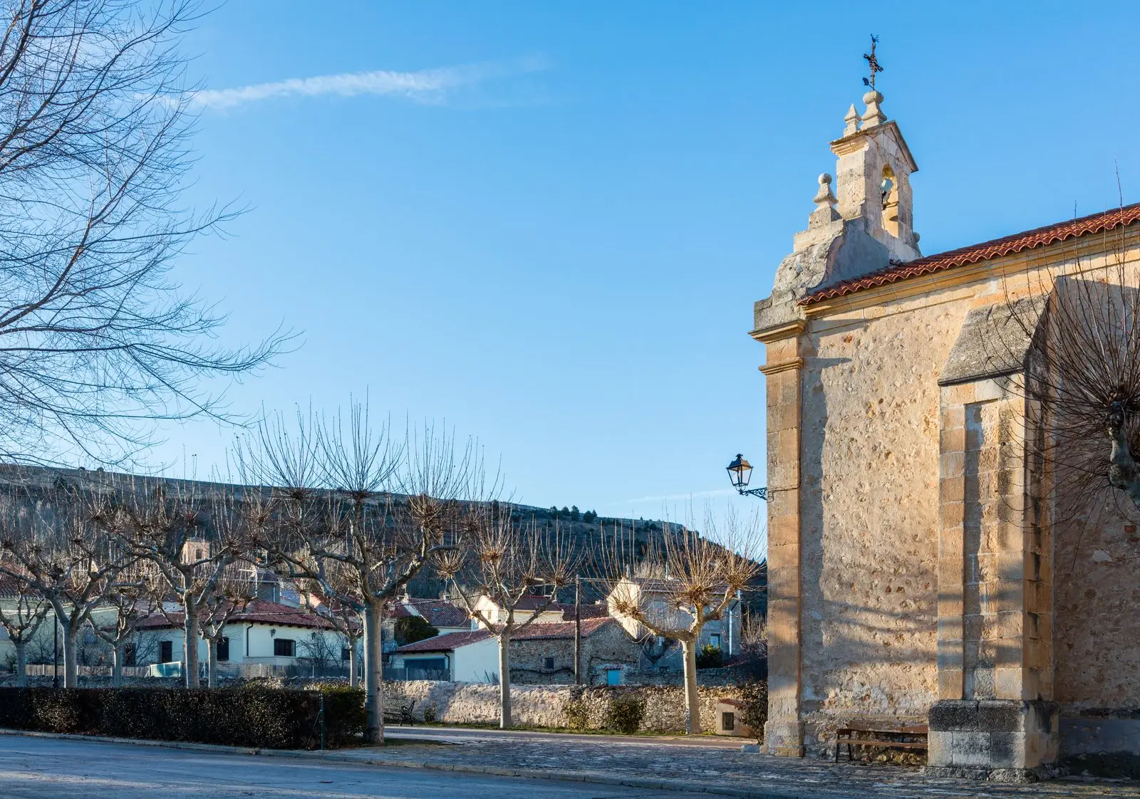
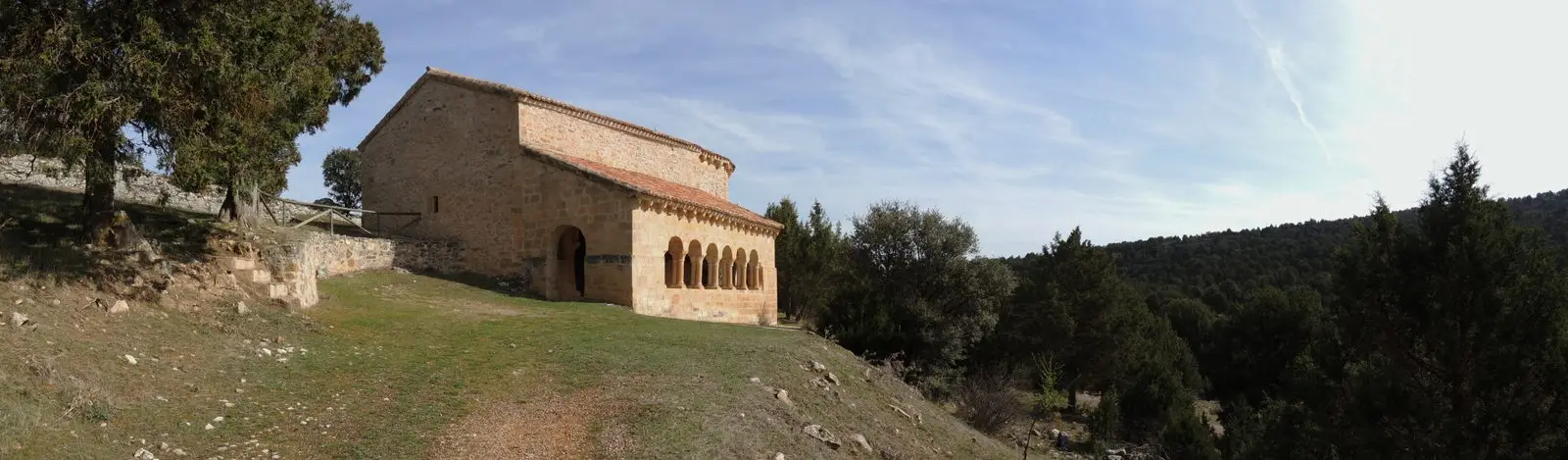
Hinojosa is a hamlet of Tartanedo at about 1,200 metres, chartered as a town in 1784 and an independent municipality until 1977. It preserves the church of San Andrés, stone mansions of hidalgos, its jurisdictional pillory, and four kilometres away, the Romanesque hermitage of Santa Catalina. On the first Sunday of June it holds a soldadesca.
Traces in the village and its surroundings
Which eras you can read here
A single place can preserve traces from different eras. These layers connect what you see with the stories in the atlas.
What to see in Hinojosa
- The hermitage of Santa Catalina, about four kilometres away, a 12th-century Romanesque building and the sole trace of the deserted village of Torralbilla.
- The church of San Andrés, from the 15th to 17th centuries, and the Baroque hermitage of the Virgen de los Dolores (1794).
- The stone mansions of the Malo, Moreno, and García Herreros families, houses of Señorío hidalgos.
- The pillory (rollo), symbol of the title of town (villa) granted in 1784.
- The archaeological site of Cabeza del Cid, from the 1st century BC, atop a limestone mesa to the west.
The soldadesca
On the first Sunday of June, the feast of the Virgen de los Dolores, Hinojosa celebrates its soldadesca, a festival of military and religious origin featuring parades, banners, and black powder. There is also a pilgrimage to Santa Catalina and the feast of San Roque.
Nearby
It was an independent municipality until 1977, when it merged into Tartanedo. Nearby are Labros and Milmarcos.
Places in and around Hinojosa
Near Hinojosa
Church of Santiago in Labros: a recovered Romanesque gem
LabrosMilmarcos: manor houses, Mannerist altarpiece, and a theatre of a prosperous town
Milmarcos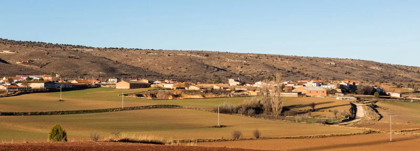
PR-GU 11: the ancient trail to Jaraba (Milmarcos)
14 km · CircularCasa de los Utrera: the Baroque palace of Tartanedo
Tartanedo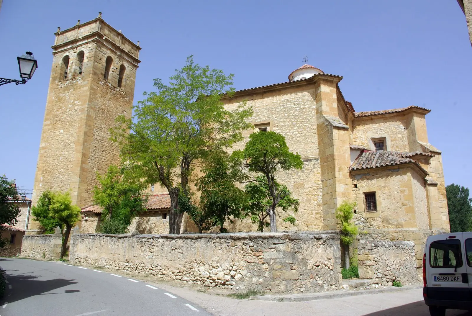
Church of San Bartolomé (Tartanedo): Romanesque portal with carved beasts
Tartanedo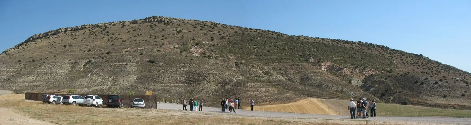
PR-GU 12: the Fuentelsaz Kite and the Stratotype
13.9 km · CircularFuentelsaz Stratotype: a global geological reference standard
FuentelsazAmayas Elm: a survivor of Dutch elm disease
AmayasPopulation of Hinojosa, 1842–1970
Hinojosa reached a peak of 514 inhabitants in 1877 ; in 1970 it had 148, before merging into the municipality of Tartanedo. This is the history told in the emptying of the Alto Tajo.
Climate in Hinojosa month by month
2015–2024 averages from Copernicus ERA5 reanalysis for an altitude of approx. 1,206 m. Useful for planning, not a substitute for live forecasts.
Location
● Reference point · ● Villages · ● Places
Location diagram. Detailed map with tracks and names loads on zoom.
Reference villages: Labros · Milmarcos · Tartanedo · Fuentelsaz.
Open the full map and historical layers →