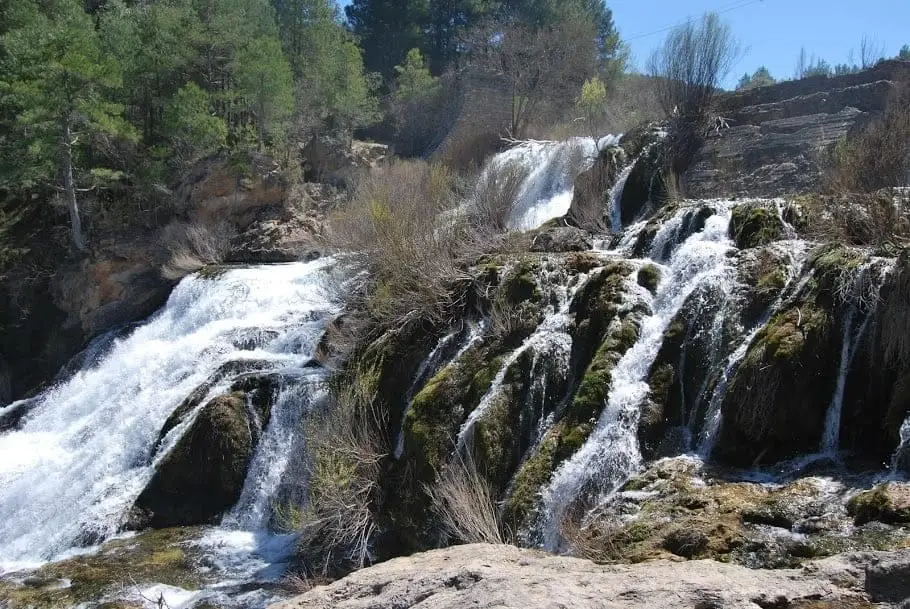
Geosite · Masegosa
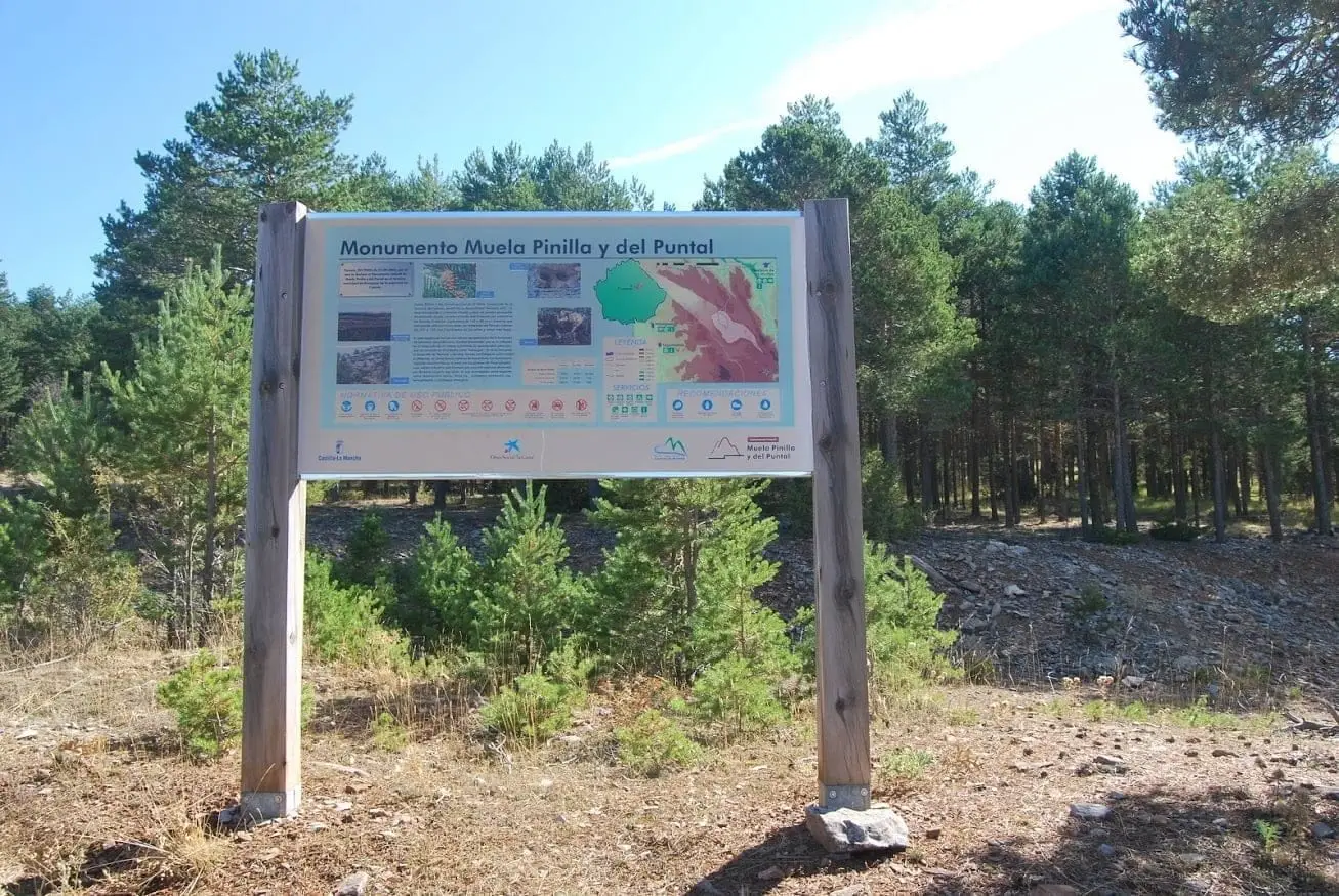
Muela Pinilla y del Puntal: Natural Monument in Masegosa
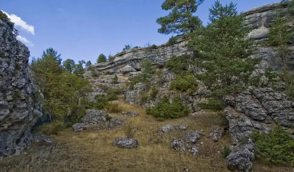
Muela Pinilla y del Puntal is a 640-hectare Natural Monument in Masegosa (Cuenca), declared in 2003. It exhibits highly developed karst features: sinkholes, uvalas, limestone pavements, shafts, springs, and swallow holes, with a ruined-city landscape of the Ciudad Encantada formation overlooking the Tagus canyon.
- Municipality
- Masegosa
- Province
- Cuenca
- Natural Monument (2003)
- 640 ha
- Karst
- Ruined-city relief
A textbook of karst landforms
Across the plateau you find almost everything water can carve into limestone: sinkholes (dolinas) and uvalas (larger closed hollows), limestone pavements (lapiaces), shafts, springs, and swallow holes. Muela Pinilla also displays the Ciudad Encantada rock formation, with an extensive landscape of ruin-like rock pillars.
Border with Guadalajara
From the rim you look out over the Tagus canyon, which here forms the boundary between Cuenca and Guadalajara, with Altos de la Campana standing directly opposite. It was designated a Natural Monument in 2003.
Photo: El Observario
Location
● Reference point · ● Villages · ● Places
Location diagram. Detailed map with tracks and names loads on zoom.
Approximate position: village centre.
Reference villages: Masegosa · Peralejos de las Truchas · Cueva del Hierro · Beteta.
Open the full map and historical layers →