Recreation area · Peralejos de las Truchas
El Vado recreation area (Peralejos de las Truchas)
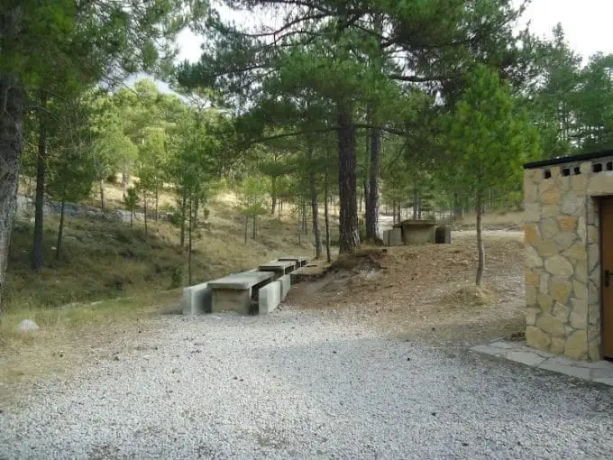
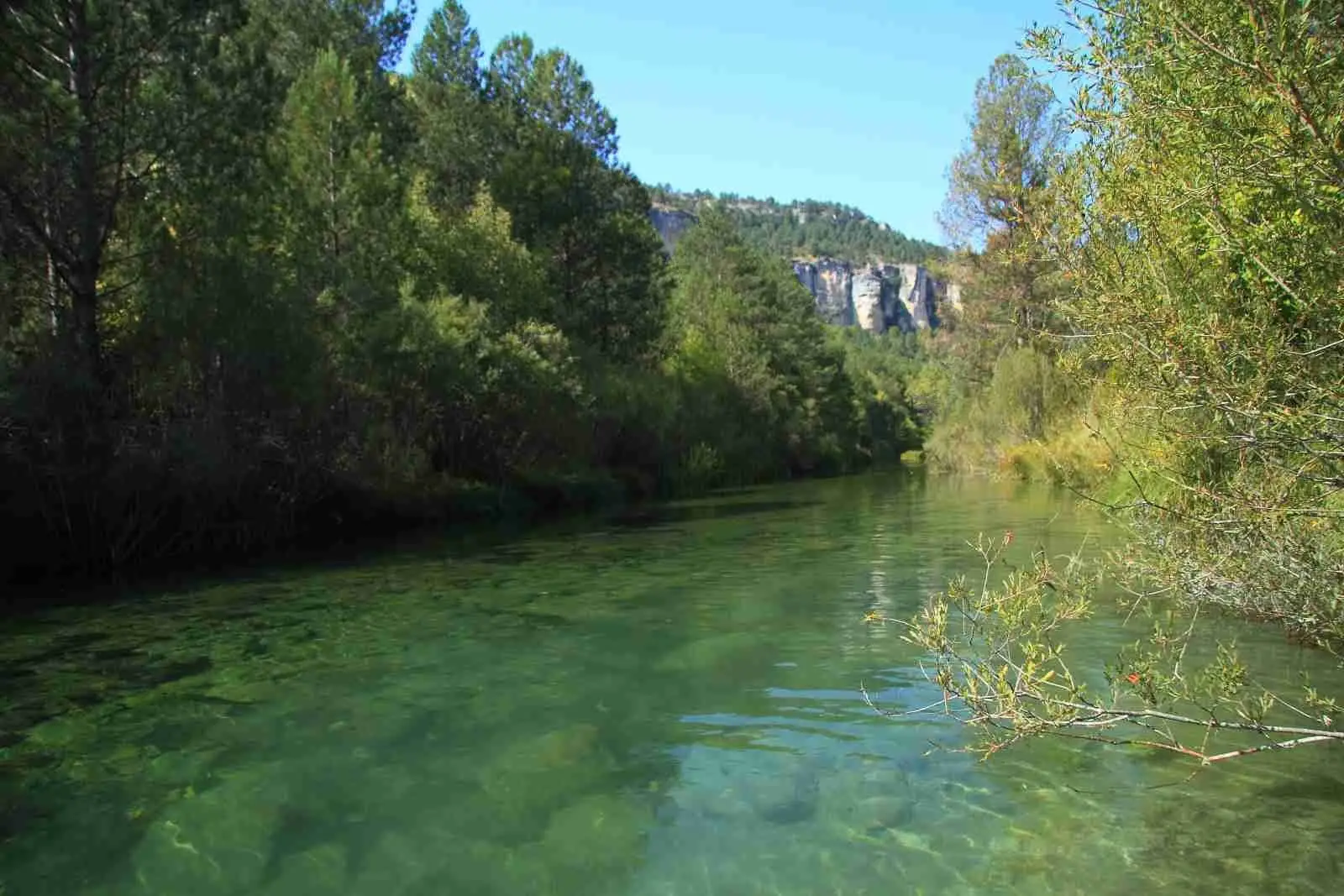
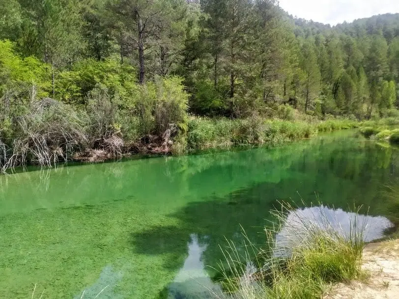
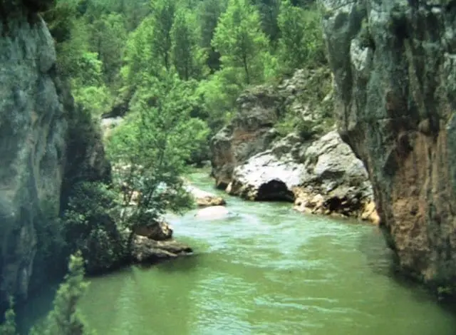
El Vado is a riverside recreation area beside the Tagus near the Peralejos de las Truchas campsite, with tables beneath an extensive poplar grove. A scenic, tranquil location to spend the afternoon in the shade by the river.
Lands and landscapes
From here, follow the memory of the territory
These readings connect El Vado recreation area (Peralejos de las Truchas) with the history, work, and villages around it.
- Municipality
- Peralejos de las Truchas
- Province
- Guadalajara
- Altitude
- 1,154 m
- Poplar grove
- Near campsite
- Tagus riverbank
Close to Peralejos and the trailhead for multiple walking routes along the Tagus.
Good conduct
The Natural Park provides no rubbish collection service: carry all waste back to village bins. Lighting fires is permitted solely in authorised facilities and outside high-risk fire seasons; check current regulations.
Photo: El Observario
Location
● Reference point · ● Villages · ● Places
Location diagram. Detailed map with tracks and names loads on zoom.
Reference villages: Peralejos de las Truchas · Masegosa · Megina · Chequilla.
Open the full map and historical layers →