Route · Peralejos de las Truchas
Georuta 7: Geotrail 7: Laguna de Taravilla, Salto de Poveda, and Peralejos
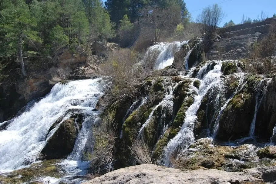
Georuta 7, 'the paths of water', spans around 15 km and 9 stops: Laguna de Taravilla tufa lake, Salto de Poveda waterfall, and the Tagus canyon to Puente del Martinete. Salto section walked via Sendero 10; rest by car or bike. Summer parking requires booking.
Lands and landscapes
From here, follow the memory of the territory
These readings connect Geotrail 7: Laguna de Taravilla, Salto de Poveda, and Peralejos with the history, work, and villages around it.
- Code
- Georuta 7
- Distance
- 15 km
- Duration
- 4 h
- Trail type
- Linear
- Difficulty
- Easy
- Altitude
- 1,155 m
Walking duration without transfers or stops. Check in the official source whether distance and time include the return leg. Difficulty rated according to the official source; verify its conditions and notices. “Easy” does not imply wheelchair or stroller accessibility.
- Georuta 7
- 9 stops
- Tufa lake
- Regulated parking
How to travel the route
Georoutes are itineraries with numbered stops, interpretive panels, and outcrop plaques, linked by car or bicycle, and walked on foot along specific sections. The official self-guided brochure explains each stop.
The stops
- 1 and 2: the old jetty of Laguna de Taravilla and the path encircling the tufa formation; nearby, the tufa structures of the overflow channel.
- 3 to 7: on foot along the course of Sendero 10 to Salto de Poveda, an open meadow, a viewpoint, and the footbridge over the Tagus. To return: retrace steps (about 40 minutes) or cross towards Casas del Salto.
- 8 and 9: along the unpaved track towards Peralejos, a viewpoint at 9 km and the concluding panel at Puente del Martinete.
Parking regulations
Parking areas at the lagoon and along the Salto track have limited capacity: on summer weekends arriving early is essential, and in July and August advance reservation and fee payment are mandatory via canondeltajo.es. Unauthorised parking along tracks is penalised.
Before you set out
Carry water, mountain footwear, and download the GPS track in advance: mobile reception is absent in many areas. Check the forecast on Today in the Alto Tajo and the official trail sheet for notices and closures, and respect seasonal restrictions during raptor breeding periods.
Official route · Parque Natural del Alto Tajo (Junta de Castilla-La Mancha). Description, track and notices on the official guide. Before setting out, verify there whether changes or closures apply.
Location
● Reference point · ● Villages · ● Places · ━ Simplified official route
Location diagram. Detailed map with tracks and names loads on zoom.
Reference villages: Peralejos de las Truchas · Masegosa · Cueva del Hierro · Poveda de la Sierra.
Open the full map and historical layers →