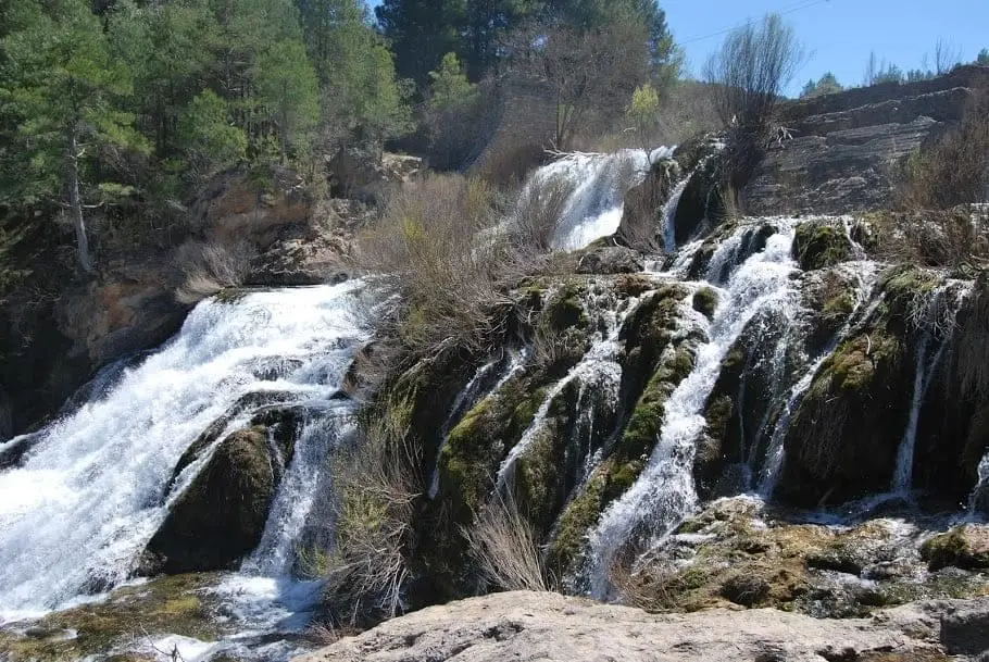
Canyon · Masegosa, Peralejos de las Truchas
Barranco del Horcajo: a canyon with yew and linden woodland
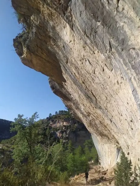
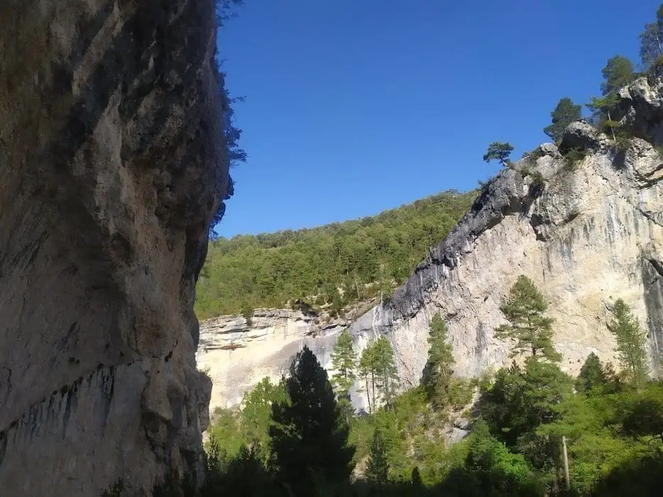
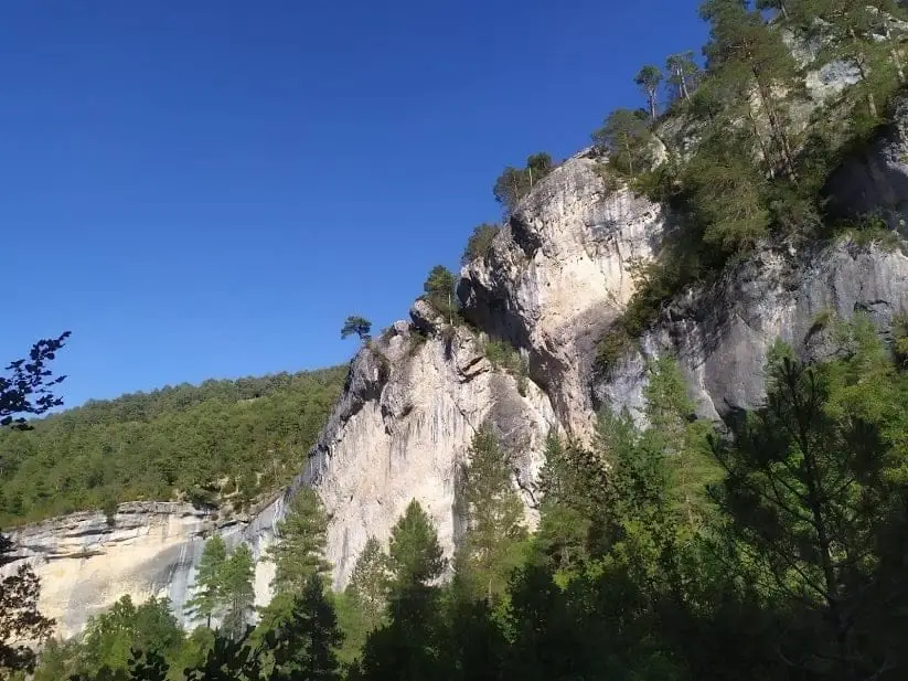
Barranco del Horcajo is a narrow limestone canyon carved by its namesake stream between Peralejos de las Truchas and Masegosa. Moisture and cool shade sustain northern flora: lindens, hazels, holly, and yews. Cliffs host vultures, peregrines, and golden eagles.
Lands and landscapes
From here, follow the memory of the territory
These readings connect Barranco del Horcajo: a canyon with yew and linden woodland with the history, work, and villages around it.
- Best season
- Spring and autumn
- Municipality
- Masegosa
- Province
- Cuenca
- Altitude
- 1,316 m
- Lindens and yews
- Sheer cliffs
- Birds of prey
- Sendero 11
A northern enclave in the Alto Tajo
Many tributaries of the Tagus carve gorges, but few are as steep as this one. Its orientation and moisture foster a cool microclimate that has enabled lindens, hazels, holly, and yew trees to thrive—species characteristic of northern latitudes.
Cliffside wildlife
The limestone crags provide nesting habitat for griffon vultures, peregrine falcons, kestrels, golden eagles, and blue rock thrushes.
Walking the trail
Follow official Sendero 11, Barranco del Horcajo. Short yet spectacular.
Photo: El Observario
Location
● Reference point · ● Villages · ● Places
Location diagram. Detailed map with tracks and names loads on zoom.
Reference villages: Peralejos de las Truchas · Masegosa · Cueva del Hierro · Poveda de la Sierra.
Open the full map and historical layers →