Waterfall · Zaorejas
Cascada del Campillo: the permanent waterfall of Zaorejas
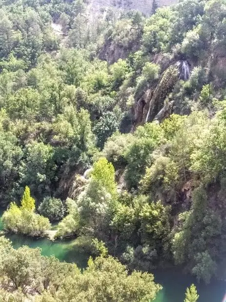
Cascada del Campillo is a permanent waterfall where Arroyo del Campillo drops into the Tagus near Puente de San Pedro in Zaorejas. The lime-rich stream deposits calcium carbonate forming tufa. Reached on foot via an easy, short trail from Puente de San Pedro.
Lands and landscapes
From here, follow the memory of the territory
These readings connect Cascada del Campillo: the permanent waterfall of Zaorejas with the history, work, and villages around it.
- Best season
- All year; higher flow in spring
- Municipality
- Zaorejas
- Province
- Guadalajara
- Altitude
- 900 m
- Permanent waterfall
- Calcareous tufa
- Arroyo del Campillo
- Short trail
A waterfall that builds itself
Arroyo del Campillo flows through limestone terrain, becoming saturated with calcium carbonate. As it tumbles towards the Tagus, agitation causes the mineral to precipitate over mosses, leaves, and twigs, encasing them in stone. This is how tufa forms, continually growing the waterfall’s rock face. Close observation reveals fossilized casts of leaves and plant stems within the rock.
Unlike seasonal cascades that only flow after rain, Campillo is permanent: running year-round, with peak volume during spring snowmelt and rains.
Visiting
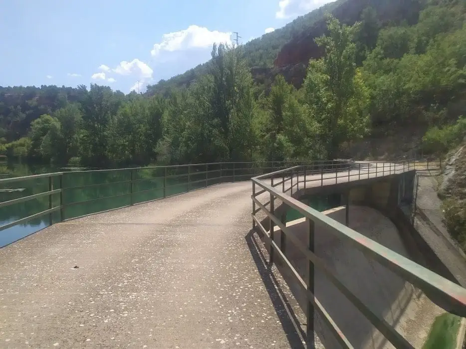
The standard approach is the walking route from Puente de San Pedro to Cascada del Campillo, an easy stroll beside the Tagus. You can pair it with La Escaleruela and Mirador del Tajo nearby.
Photo: El Observario
Frequently asked questions
How do you reach Cascada del Campillo?
Walking from Puente de San Pedro, on the road from Molina de Aragón to Zaorejas, along the signposted trail from Puente de San Pedro to Cascada del Campillo.
Location
● Reference point · ● Villages · ● Places
Location diagram. Detailed map with tracks and names loads on zoom.
Reference villages: Villar de Cobeta · Zaorejas · Buenafuente del Sistal · Olmeda de Cobeta.
Open the full map and historical layers →