Route · Zaorejas
Georuta 4: Geotrail 4: from Puente de San Pedro to the Zaorejas Viewpoint
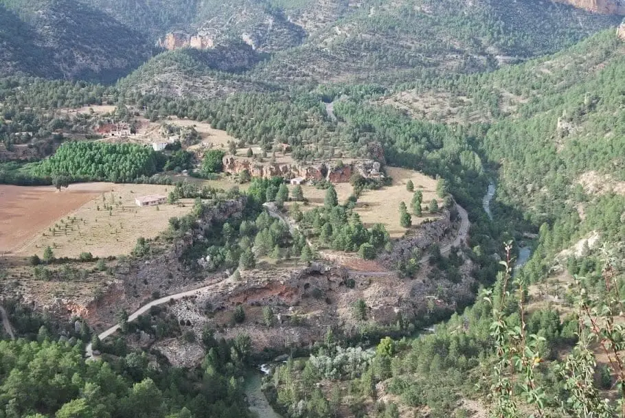
Georuta 4, about 8 km with 8 stops, explains the Tagus canyon and tufa formations at Puente de San Pedro and La Escaleruela: erosion and rock formation. Between La Escaleruela waterfall and Ciño Negro, an uphill path climbs steeply to Zaorejas viewpoint.
Lands and landscapes
From here, follow the memory of the territory
These readings connect Geotrail 4: from Puente de San Pedro to the Zaorejas Viewpoint with the history, work, and villages around it.
- Code
- Georuta 4
- Distance
- 8 km
- Duration
- 4 h
- Trail type
- Circular
- Difficulty
- Moderate
- Altitude
- 1,090 m
Walking duration without transfers or stops. Difficulty rated according to the official source; verify its conditions and notices. “Easy” does not imply wheelchair or stroller accessibility.
- Georuta 4
- Tufa formations
- Steep trail
- Mirador de Zaorejas
How to travel the route
Georoutes are thematic itineraries with numbered stops, interpretive panels, and outcrop plaques, linked by car or bicycle and on foot for specific sections. The official self-guided brochure explains each stop.
The stops
- 1: Puente de San Pedro, with an experimental interpretive zone; at 600 m, the tufa geological structure crossed by the road.
- 2 to 5: park at a turnout past the Tagus track and walk 15 minutes to the waterfall of La Escaleruela. From there climbs a PR-marked trail ascending a steep slope through several viewpoints. It is a fragile environment: do not leave the trail to avoid damaging the tufa.
- 6 and 7: the meadow of the Ciño Negro valley, a large chestnut tree, and a small pool beside the ruins of a livestock pen.
- 8: the Mirador del Tajo in Zaorejas, about 45 minutes on foot via track or accessible by car from the main road (km 4.8).
Living rock
Tufa forms as dissolved calcium carbonate precipitates from the waters of rivers and springs: it constitutes the youngest geological landscape in the Natural Park.
Before you set out
Carry water, mountain footwear, and download the GPS track in advance: mobile reception is absent in many areas. Check the forecast on Today in the Alto Tajo and the official trail sheet for notices and closures, and respect seasonal restrictions during raptor breeding periods.
Official route · Parque Natural del Alto Tajo (Junta de Castilla-La Mancha). Description, track and notices on the official guide. Before setting out, verify there whether changes or closures apply.
Location
● Reference point · ● Villages · ● Places · ━ Simplified official route
Location diagram. Detailed map with tracks and names loads on zoom.
Reference villages: Zaorejas · Villar de Cobeta · Cuevas Labradas · Buenafuente del Sistal.
Open the full map and historical layers →